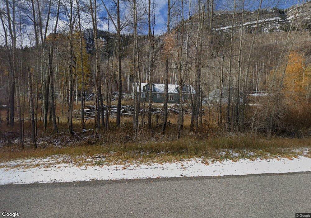
43219 Highway 550 Durango, CO 81301
Estimated Value: $855,129 - $1,859,000
3
Beds
3
Baths
--
Sq Ft
2.95
Acres
About This Home
This home is located at 43219 Highway 550, Durango, CO 81301 and is currently estimated at $1,422,782. 43219 Highway 550 is a home with nearby schools including Animas Valley Elementary School, Miller Middle School, and Durango High School.
Ownership History
Date
Name
Owned For
Owner Type
Purchase Details
Closed on
Jun 1, 2021
Sold by
Edwards Forrest and Jackson Kaitlyn N
Bought by
Edwards Forrest and Edwards Kaitlyn Jackson
Current Estimated Value
Home Financials for this Owner
Home Financials are based on the most recent Mortgage that was taken out on this home.
Original Mortgage
$684,108
Outstanding Balance
$606,405
Interest Rate
3.5%
Mortgage Type
Purchase Money Mortgage
Estimated Equity
$816,377
Purchase Details
Closed on
Aug 27, 2012
Sold by
Watters Ralph D and Watters Marva L
Bought by
Watters David and Watters Carol
Purchase Details
Closed on
Nov 16, 2005
Sold by
Watters Marva L
Bought by
Watters David R
Create a Home Valuation Report for This Property
The Home Valuation Report is an in-depth analysis detailing your home's value as well as a comparison with similar homes in the area
Home Values in the Area
Average Home Value in this Area
Purchase History
| Date | Buyer | Sale Price | Title Company |
|---|---|---|---|
| Edwards Forrest | -- | None Available | |
| Watters David | $51,000 | None Available | |
| Watters David R | -- | None Available |
Source: Public Records
Mortgage History
| Date | Status | Borrower | Loan Amount |
|---|---|---|---|
| Open | Edwards Forrest | $684,108 |
Source: Public Records
Tax History Compared to Growth
Tax History
| Year | Tax Paid | Tax Assessment Tax Assessment Total Assessment is a certain percentage of the fair market value that is determined by local assessors to be the total taxable value of land and additions on the property. | Land | Improvement |
|---|---|---|---|---|
| 2025 | $2,382 | $62,570 | $12,110 | $50,460 |
| 2024 | $2,039 | $48,570 | $11,870 | $36,700 |
| 2023 | $2,039 | $51,750 | $12,650 | $39,100 |
| 2022 | $2,438 | $57,430 | $17,350 | $40,080 |
| 2021 | $2,052 | $49,470 | $49,470 | $0 |
| 2020 | $1,866 | $46,380 | $46,380 | $0 |
| 2019 | $1,789 | $46,380 | $46,380 | $0 |
| 2018 | $1,668 | $43,290 | $43,290 | $0 |
| 2017 | $1,633 | $43,290 | $43,290 | $0 |
| 2016 | $1,345 | $38,650 | $38,650 | $0 |
| 2015 | $1,366 | $38,650 | $38,650 | $0 |
| 2014 | $1,366 | $40,200 | $40,200 | $0 |
| 2013 | -- | $40,200 | $40,200 | $0 |
Source: Public Records
Map
Nearby Homes
- 42574 U S 550
- 145 Cliff Side Dr
- 298 Lakewood Dr
- 41563 N Us Hwy 550
- 41563 N U S Hwy 550
- 448 Hermosa View Dr
- 251 Hermosa View Dr
- 175 Spruce Mesa Dr
- 175 E Spruce Mesa Dr
- 421 S Windom Way
- 961 N Tamarron Dr Unit 617
- 961 N Tamarron Dr Unit 555
- 961 N Tamarron Dr Unit 633
- 163 Peregrine Dr
- 190 Outlaw Dr Unit 3B
- 401 Wilshire Dr
- 104 Outlaw Dr Unit 2A
- 516 Glacier Cliff Dr
- 444 Glacier Cliff Dr
- 204 Wilshire Dr
- 43227 Highway 550
- 44979 Highway 550
- 43290 Highway 550
- 43298 U S 550
- 43298 Highway 550
- 42890 Highway 550
- TBD Hwy 550 N
- 0 Flying Dr S Unit 3 737046
- 0 Flying Dr S Unit 636855
- 0 Flying Dr S Unit 654894
- 0 Flying Dr S Unit 3 723984
- 0 Flying Dr S Unit 636854
- 0 Flying Dr S Unit 654896
- 0 Flying Dr S Unit 655005
- 311 Flying S Dr
- 225 Flying Dr S
- 225 Flying S Dr
- 43642 Highway 550
- 195 Flying S Dr
- 174 Flying S Dr