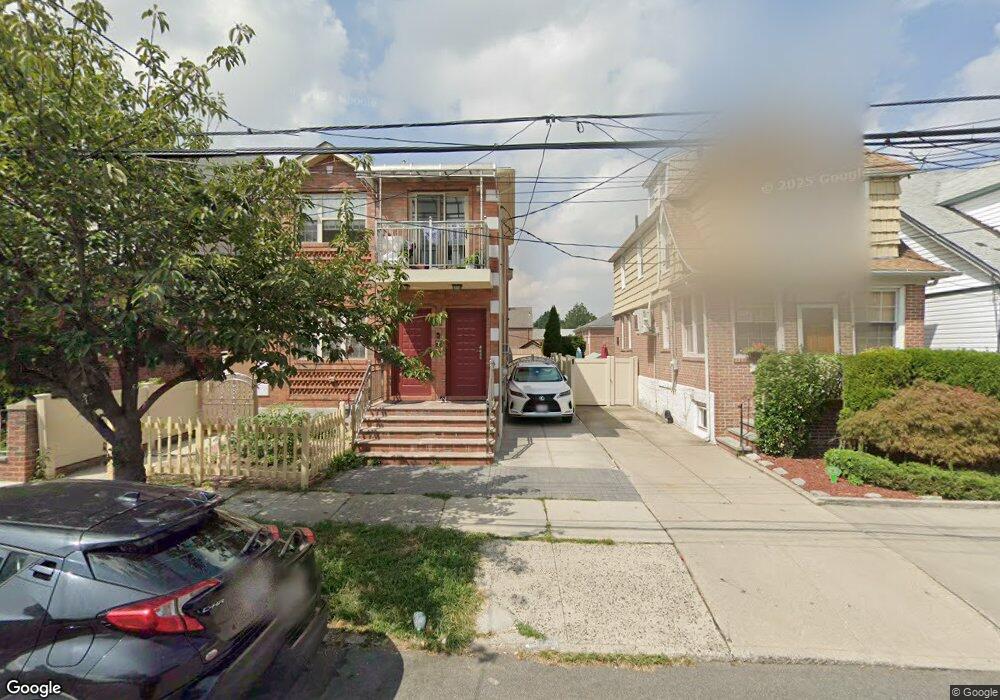
4322 159th St Flushing, NY 11358
East Flushing NeighborhoodEstimated Value: $1,026,000 - $1,115,000
Studio
--
Bath
1,738
Sq Ft
$622/Sq Ft
Est. Value
About This Home
This home is located at 4322 159th St, Flushing, NY 11358 and is currently estimated at $1,080,501, approximately $621 per square foot. 4322 159th St is a home located in Queens County with nearby schools including P.S. 22 - Thomas Jefferson, J.H.S. 189Q Daniel Carter Beard, and Francis Lewis High School.
Ownership History
Date
Name
Owned For
Owner Type
Purchase Details
Closed on
Aug 18, 1999
Sold by
Ryan Thomas M and Oneil Patrice
Bought by
Field Robert B and Field Florence J
Current Estimated Value
Home Financials for this Owner
Home Financials are based on the most recent Mortgage that was taken out on this home.
Original Mortgage
$219,200
Outstanding Balance
$63,877
Interest Rate
7.83%
Estimated Equity
$1,016,624
Create a Home Valuation Report for This Property
The Home Valuation Report is an in-depth analysis detailing your home's value as well as a comparison with similar homes in the area
Home Values in the Area
Average Home Value in this Area
Purchase History
| Date | Buyer | Sale Price | Title Company |
|---|---|---|---|
| Field Robert B | $274,000 | -- |
Source: Public Records
Mortgage History
| Date | Status | Borrower | Loan Amount |
|---|---|---|---|
| Open | Field Robert B | $219,200 |
Source: Public Records
Tax History
| Year | Tax Paid | Tax Assessment Tax Assessment Total Assessment is a certain percentage of the fair market value that is determined by local assessors to be the total taxable value of land and additions on the property. | Land | Improvement |
|---|---|---|---|---|
| 2025 | $7,416 | $39,139 | $10,849 | $28,290 |
| 2024 | $7,416 | $36,924 | $10,446 | $26,478 |
| 2023 | $6,997 | $34,836 | $9,220 | $25,616 |
| 2022 | $6,694 | $66,900 | $18,960 | $47,940 |
| 2021 | $7,057 | $61,080 | $18,960 | $42,120 |
| 2020 | $6,904 | $59,820 | $18,960 | $40,860 |
| 2019 | $6,437 | $64,320 | $18,960 | $45,360 |
| 2018 | $5,918 | $29,030 | $9,728 | $19,302 |
| 2017 | $5,697 | $27,945 | $11,483 | $16,462 |
| 2016 | $5,586 | $27,945 | $11,483 | $16,462 |
| 2015 | $3,180 | $27,180 | $13,687 | $13,493 |
| 2014 | $3,180 | $25,642 | $14,424 | $11,218 |
Source: Public Records
Map
Nearby Homes
- 4363 160th St
- 4344 161st St
- 4304 158th St Unit Lobby 4
- 43-27 162nd St
- 43-23 156th St
- 42-28 159th St
- 43-07 162nd St
- 43-58 163rd St
- 4260 157th St Unit 3D
- 45-57 160th St
- 43-33 163rd St
- 45-10 156th St
- 42-20 158th St
- 42-16 162nd St
- 163-02 45th Ave
- 43-24 164th St
- 16001 Sanford Ave
- 16003 Sanford Ave
- 42-36 156th St
- 46-05 158th St
- 4320 159th St
- 43-26 159th St
- 4326 159th St
- 43-26 159th St Unit 1Fl
- 43-34 159th St Unit Fl 1
- 43-14 159th St
- 4330 159th St
- 4314 159th St
- 4316 159th St Unit 2C
- 4316 159th St Unit 1A
- 4316 159th St Unit 2B
- 4316 159th St
- 4316 159th St Unit 2F
- 4319 158th St
- 4323 158th St
- 4334 159th St
- 4315 158th St
- 4319 158th St Unit Fl 2
- 4325 158th St
- 4312 159th St
Your Personal Tour Guide
Ask me questions while you tour the home.