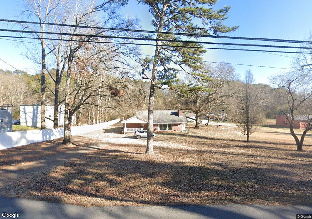
4322 Delashmitt Rd Hixson, TN 37343
Dupont NeighborhoodEstimated Value: $284,525 - $344,000
--
Bed
--
Bath
2,227
Sq Ft
$140/Sq Ft
Est. Value
About This Home
This home is located at 4322 Delashmitt Rd, Hixson, TN 37343 and is currently estimated at $310,881, approximately $139 per square foot. 4322 Delashmitt Rd is a home located in Hamilton County with nearby schools including Alpine Crest Elementary School, Red Bank Middle School, and Red Bank High School.
Ownership History
Date
Name
Owned For
Owner Type
Purchase Details
Closed on
Aug 26, 2009
Sold by
Miller Marilyn Gail and Miller Michael
Bought by
Miller Michael
Current Estimated Value
Home Financials for this Owner
Home Financials are based on the most recent Mortgage that was taken out on this home.
Original Mortgage
$83,000
Interest Rate
5.11%
Mortgage Type
New Conventional
Purchase Details
Closed on
Dec 4, 1998
Sold by
Edward Peterson Ronald and Gail Marilyn
Bought by
Peterson Marilyn Gail
Create a Home Valuation Report for This Property
The Home Valuation Report is an in-depth analysis detailing your home's value as well as a comparison with similar homes in the area
Home Values in the Area
Average Home Value in this Area
Purchase History
| Date | Buyer | Sale Price | Title Company |
|---|---|---|---|
| Miller Michael | -- | None Available | |
| Peterson Marilyn Gail | -- | First Title |
Source: Public Records
Mortgage History
| Date | Status | Borrower | Loan Amount |
|---|---|---|---|
| Closed | Miller Michael | $83,000 |
Source: Public Records
Tax History Compared to Growth
Tax History
| Year | Tax Paid | Tax Assessment Tax Assessment Total Assessment is a certain percentage of the fair market value that is determined by local assessors to be the total taxable value of land and additions on the property. | Land | Improvement |
|---|---|---|---|---|
| 2024 | $883 | $39,450 | $0 | $0 |
| 2023 | $883 | $39,450 | $0 | $0 |
| 2022 | $883 | $39,450 | $0 | $0 |
| 2021 | $883 | $39,450 | $0 | $0 |
| 2020 | $918 | $33,200 | $0 | $0 |
| 2019 | $918 | $33,200 | $0 | $0 |
| 2018 | $882 | $33,200 | $0 | $0 |
| 2017 | $918 | $33,200 | $0 | $0 |
| 2016 | $907 | $0 | $0 | $0 |
| 2015 | $1,780 | $32,800 | $0 | $0 |
| 2014 | $1,780 | $0 | $0 | $0 |
Source: Public Records
Map
Nearby Homes
- 410 Bardwood Ln
- 4609 Plaza Hills Ln
- 1329 Highland Way
- 955 Brynwood Dr
- 4706 Eldridge Rd
- 1325 Highland Rd
- 4529 Sherry Ln
- 1004 Brynehill Ln
- 1328 Highland Rd
- 961 Ashland Terrace
- 810 Forest Dale Ln
- 3609 Forest Highland Dr
- 1313 Michael Ln
- 4810 Delashmitt Rd
- 1237 Cranbrook Dr
- 507 Heidi Cir
- 3802 Jarren Ct
- 4607 Cloverdale Loop
- 3906 Forest Highland Cir
- 1216 Clermont Dr
- 520 Cranberry Way
- 510 Cranberry Way
- 4318 Delashmitt Rd
- 570 Cranberry Way
- 4405 Greenbriar Terrace
- 4405 Greenbriar Terrace Unit 1
- 4417 Greenbriar Terrace
- 4417 Greenbriar Terrace Unit 1
- 519 Cranberry Way
- 4380 Delashmitt Rd
- 4380 Delashmitt Rd Unit B
- 4380 Delashmitt Rd Unit 1
- 4312 Delashmitt Rd
- 4323 Delashmitt Rd
- 557 Cranberry Way
- 557 Cranberry Way Unit 1
- 4390 Delashmitt Rd
- 414 Bardwood Ln
- 4321 Delashmitt Rd
- 412 Bardwood Ln