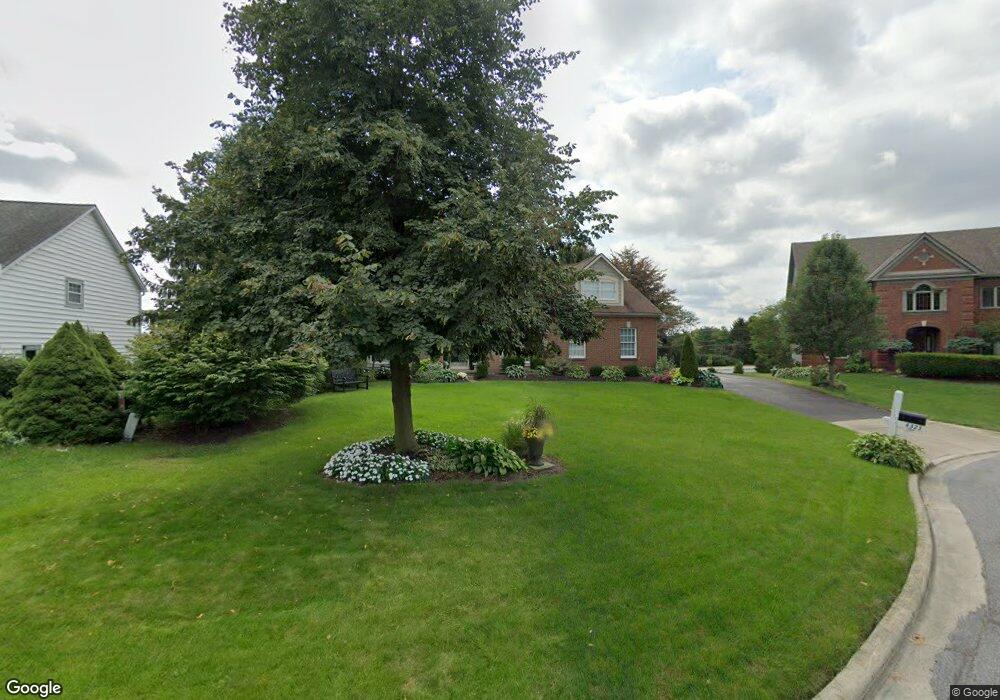
4323 Ewing Ct Powell, OH 43065
Estimated Value: $573,000 - $670,000
4
Beds
3
Baths
2,944
Sq Ft
$207/Sq Ft
Est. Value
About This Home
This home is located at 4323 Ewing Ct, Powell, OH 43065 and is currently estimated at $609,116, approximately $206 per square foot. 4323 Ewing Ct is a home located in Delaware County with nearby schools including Scioto Ridge Elementary School, Olentangy Liberty Middle School, and Olentangy Liberty High School.
Ownership History
Date
Name
Owned For
Owner Type
Purchase Details
Closed on
Jun 30, 2005
Sold by
Michel David L and Vivalo Michel Kimberly A
Bought by
Bowlin Robert E and Bowlin Andrea L
Current Estimated Value
Home Financials for this Owner
Home Financials are based on the most recent Mortgage that was taken out on this home.
Original Mortgage
$247,200
Interest Rate
5.68%
Mortgage Type
Fannie Mae Freddie Mac
Create a Home Valuation Report for This Property
The Home Valuation Report is an in-depth analysis detailing your home's value as well as a comparison with similar homes in the area
Home Values in the Area
Average Home Value in this Area
Purchase History
| Date | Buyer | Sale Price | Title Company |
|---|---|---|---|
| Bowlin Robert E | $309,000 | -- |
Source: Public Records
Mortgage History
| Date | Status | Borrower | Loan Amount |
|---|---|---|---|
| Closed | Bowlin Robert E | $247,200 | |
| Closed | Bowlin Robert E | $46,350 |
Source: Public Records
Tax History
| Year | Tax Paid | Tax Assessment Tax Assessment Total Assessment is a certain percentage of the fair market value that is determined by local assessors to be the total taxable value of land and additions on the property. | Land | Improvement |
|---|---|---|---|---|
| 2024 | $8,882 | $169,510 | $37,630 | $131,880 |
| 2023 | $8,916 | $169,510 | $37,630 | $131,880 |
| 2022 | $8,299 | $125,090 | $24,500 | $100,590 |
| 2021 | $8,350 | $125,090 | $24,500 | $100,590 |
| 2020 | $8,390 | $125,090 | $24,500 | $100,590 |
| 2019 | $7,568 | $117,640 | $24,500 | $93,140 |
| 2018 | $7,604 | $117,640 | $24,500 | $93,140 |
| 2017 | $7,070 | $106,330 | $20,160 | $86,170 |
| 2016 | $7,316 | $106,330 | $20,160 | $86,170 |
| 2015 | $6,616 | $106,330 | $20,160 | $86,170 |
| 2014 | $6,707 | $106,330 | $20,160 | $86,170 |
| 2013 | $6,700 | $103,810 | $20,160 | $83,650 |
Source: Public Records
Map
Nearby Homes
- 4445 Tavistock Cir
- 9821 Oxford Cir
- 9430 Wilbrook Dr
- 3899 Hampshire Ave
- 9978 Lavenham Cir W
- 9375 Creighton Dr
- 10010 Beckford Ct
- 3722 Hampshire Ave
- 4470 Bobwhite Trace
- 3881 Orchard Way
- 3839 Orchard Way
- 3991 Orchard View Place
- 9427 Clermont Cir Unit 9427
- 9023 Samari Place
- 3638 Foresta Grand Dr
- 9196 McDowall Dr
- 3697 Stoneway Point Unit 83697
- 4840 Paddington Way
- 4876 Paddington Way
- 3702 Stoneway Point
- 4303 Ewing Ct
- 4335 Ewing Ct
- 4334 Ewing Ct
- 4312 Ewing Ct
- 4292 Ewing Ct
- 4326 Ewing Ct
- 4263 Ewing Ct
- 4258 Ewing Ct
- 9576 Ireland Ct
- 9586 Ireland Ct
- 4399 Tavistock Cir
- 9594 Ireland Ct
- 4391 Tavistock Cir
- 4407 Tavistock Cir
- 9566 Ireland Ct
- 4383 Tavistock Cir
- 4383 Tavistock Cir Unit 2296
- 4415 Tavistock Cir
- 4415 Tavistock Cir Unit 2300
- 4214 Mack Ct
Your Personal Tour Guide
Ask me questions while you tour the home.