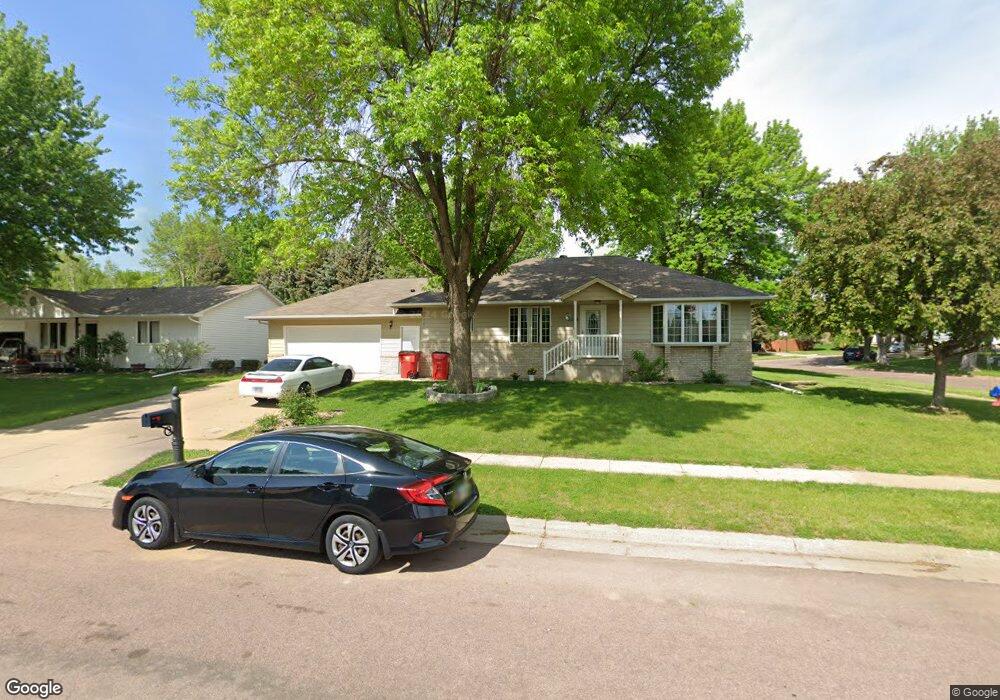
4324 E 36th St Sioux Falls, SD 57103
Pepper Ridge NeighborhoodEstimated Value: $357,000 - $371,000
3
Beds
3
Baths
2,340
Sq Ft
$157/Sq Ft
Est. Value
About This Home
This home is located at 4324 E 36th St, Sioux Falls, SD 57103 and is currently estimated at $367,136, approximately $156 per square foot. 4324 E 36th St is a home located in Minnehaha County with nearby schools including Harvey Dunn Elementary School, Washington High School, and Train Up A Child Preschool/Kindergarten.
Ownership History
Date
Name
Owned For
Owner Type
Purchase Details
Closed on
Nov 1, 2018
Sold by
Olson George D and Olson Joan
Bought by
Nelson Dorothy and Donaldson Jason
Current Estimated Value
Home Financials for this Owner
Home Financials are based on the most recent Mortgage that was taken out on this home.
Original Mortgage
$200,000
Outstanding Balance
$175,500
Interest Rate
4.7%
Mortgage Type
New Conventional
Estimated Equity
$191,636
Create a Home Valuation Report for This Property
The Home Valuation Report is an in-depth analysis detailing your home's value as well as a comparison with similar homes in the area
Home Values in the Area
Average Home Value in this Area
Purchase History
| Date | Buyer | Sale Price | Title Company |
|---|---|---|---|
| Nelson Dorothy | $225,000 | Stewart Title Company |
Source: Public Records
Mortgage History
| Date | Status | Borrower | Loan Amount |
|---|---|---|---|
| Open | Nelson Dorothy | $200,000 |
Source: Public Records
Tax History
| Year | Tax Paid | Tax Assessment Tax Assessment Total Assessment is a certain percentage of the fair market value that is determined by local assessors to be the total taxable value of land and additions on the property. | Land | Improvement |
|---|---|---|---|---|
| 2024 | $5,169 | $307,800 | $42,300 | $265,500 |
| 2023 | $5,409 | $307,000 | $42,300 | $264,700 |
| 2022 | $5,142 | $275,800 | $42,300 | $233,500 |
| 2021 | $3,549 | $238,900 | $0 | $0 |
| 2020 | $3,549 | $225,700 | $0 | $0 |
| 2019 | $3,343 | $208,429 | $0 | $0 |
| 2018 | $2,994 | $200,703 | $0 | $0 |
| 2017 | $2,919 | $186,966 | $36,491 | $150,475 |
| 2016 | $2,919 | $182,341 | $36,491 | $145,850 |
| 2015 | $2,923 | $175,689 | $34,463 | $141,226 |
| 2014 | $2,802 | $175,689 | $34,463 | $141,226 |
Source: Public Records
Map
Nearby Homes
- 4409 E 36th St
- 4409 E 37th St
- 2804 S Melanie Ln
- 4504 E Kearney Place
- 4505 E Kearney Place
- 2805 S Whetstone Cir
- 2505 S Pepper Ridge Ave
- 2709 S Kaystone Dr Dr
- 3205 S Bluegrass Ct
- 2713 S Harvey Dunn Dr
- 4613 E Fernwood Dr
- 4700 E Alpine Cir
- 3500 E Apple Blossom Cir
- 3300 S Sundrop Ave
- 4405 E Aster Cir
- 4620 E Hanna Cir
- 3508 S Judy Ave
- 5008 E Centennial Ln
- 2309 S Stephen Ave
- 3400 S Alpine Ave
- 4320 E 36th St
- 2919 S Pepper Ridge Ave
- 4316 E 36th St
- 2915 S Pepper Ridge Ave
- 4325 E 36th St
- 4329 E 36th St
- 4400 E 36th St
- 4401 E Harwood Cir
- 4321 E 36th St
- 2913 S Pepper Ridge Ave
- 2812 S Cinnabar Cir
- 2904 S Pepper Ridge Ave
- 4317 E 36th St
- 4401 E 36th St
- 2909 S Pepper Ridge Ave
- 4404 E 36th St
- 4405 E Harwood Cir
- 2808 S Cinnabar Cir
- 4313 E 36th St
- 2900 S Pepper Ridge Ave
Your Personal Tour Guide
Ask me questions while you tour the home.