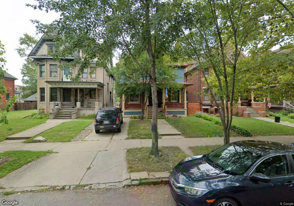
4325 Commonwealth St Detroit, MI 48208
Woodbridge NeighborhoodEstimated Value: $343,057 - $508,000
6
Beds
3
Baths
2,447
Sq Ft
$175/Sq Ft
Est. Value
About This Home
This home is located at 4325 Commonwealth St, Detroit, MI 48208 and is currently estimated at $429,014, approximately $175 per square foot. 4325 Commonwealth St is a home located in Wayne County with nearby schools including Burton International Academy, Charles L. Spain Elementary-Middle School, and Edward 'Duke' Ellington Conservatory of Music and Art.
Ownership History
Date
Name
Owned For
Owner Type
Purchase Details
Closed on
May 28, 2015
Sold by
Paris Of The West Development Group Llc
Bought by
Linn Robert
Current Estimated Value
Purchase Details
Closed on
Nov 18, 2011
Sold by
Wojtowicz Raymond J
Bought by
Paris Of The West Development Group Inc
Purchase Details
Closed on
Nov 24, 2010
Sold by
Burns Lura H
Bought by
Michigan First Credit Union
Create a Home Valuation Report for This Property
The Home Valuation Report is an in-depth analysis detailing your home's value as well as a comparison with similar homes in the area
Home Values in the Area
Average Home Value in this Area
Purchase History
| Date | Buyer | Sale Price | Title Company |
|---|---|---|---|
| Linn Robert | -- | None Available | |
| Paris Of The West Development Group Inc | $20,900 | None Available | |
| Michigan First Credit Union | $44,825 | None Available |
Source: Public Records
Tax History Compared to Growth
Tax History
| Year | Tax Paid | Tax Assessment Tax Assessment Total Assessment is a certain percentage of the fair market value that is determined by local assessors to be the total taxable value of land and additions on the property. | Land | Improvement |
|---|---|---|---|---|
| 2025 | $42 | $6,600 | $0 | $0 |
| 2024 | $42 | $3,300 | $0 | $0 |
| 2023 | $41 | $3,300 | $0 | $0 |
| 2022 | $46 | $3,300 | $0 | $0 |
| 2021 | $44 | $3,300 | $0 | $0 |
| 2020 | $284 | $3,300 | $0 | $0 |
| 2019 | $43 | $3,300 | $0 | $0 |
| 2018 | $35 | $600 | $0 | $0 |
| 2017 | $11 | $600 | $0 | $0 |
| 2016 | $1,853 | $6,600 | $0 | $0 |
| 2015 | $1,462 | $23,600 | $0 | $0 |
| 2013 | -- | $27,925 | $0 | $0 |
| 2010 | -- | $40,942 | $554 | $40,388 |
Source: Public Records
Map
Nearby Homes
- 4301 Avery St Unit 1
- 4301 Avery St Unit 2
- 4301 Avery St
- 1764 Calumet St
- 4345 Trumbull
- 4515 Avery St
- 1738 Lysander St
- 4314 Trumbull St
- 4515 Trumbull St
- 3984 Commonwealth St
- 4206 Vermont St
- 4322 Lincoln St
- 1361 W Canfield St
- 1932 W Alexandrine St
- 4761 Avery St
- 3941 Trumbull St
- 4751 Trumbull St
- 4322 Wabash St
- 5034 Vermont St
- 5709 Vermont St
- 4317 Commonwealth St
- 4333 Commonwealth St
- 4309 Commonwealth St
- 4341 Commonwealth St
- 4303 Commonwealth St
- 4318 Avery St
- 4328 Avery St
- 4310 Avery St
- 4310 Avery St
- 4336 Avery St
- 4304 Avery St
- 4344 Avery St
- 4243 Commonwealth St
- 4324 Commonwealth St
- 4316 Commonwealth St
- 4332 Commonwealth St
- 4346 Commonwealth St
- 4336 Commonwealth St
- 4310 Commonwealth St
- 4302 Commonwealth St