Estimated Value: $227,000 - $239,000
--
Bed
--
Bath
2,396
Sq Ft
$97/Sq Ft
Est. Value
About This Home
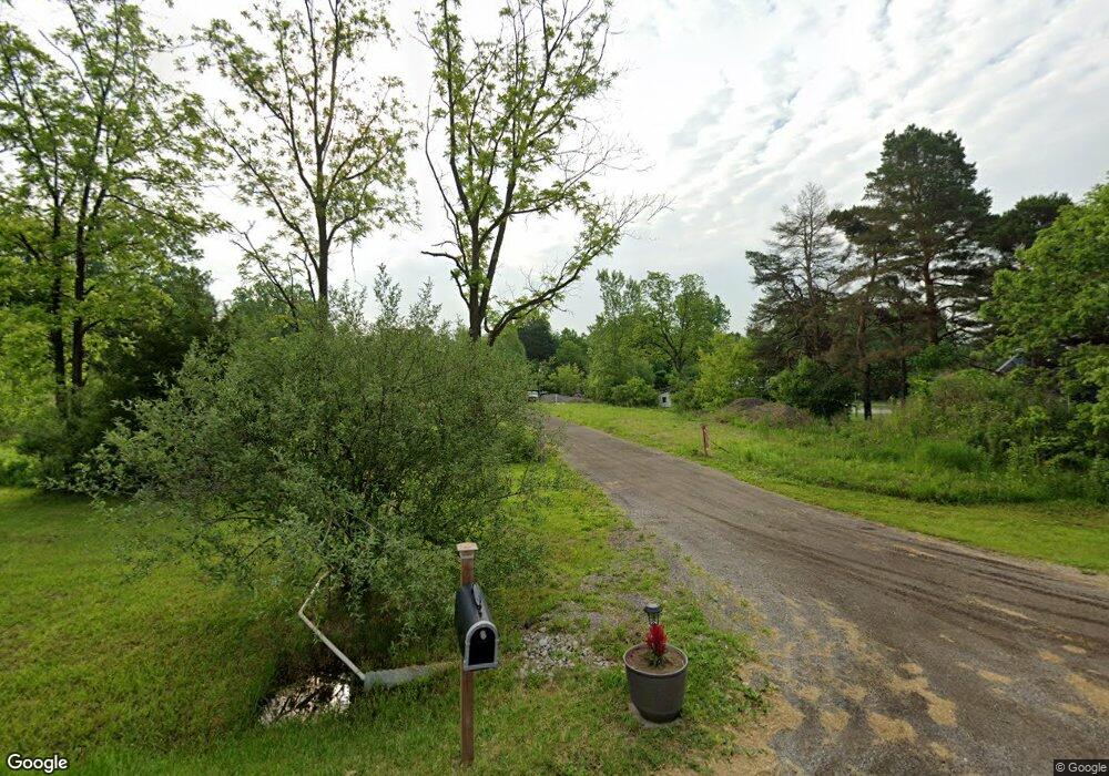
This home is located at 4326 N Belsay Rd, Flint, MI 48506 and is currently estimated at $233,000, approximately $97 per square foot. 4326 N Belsay Rd is a home with nearby schools including Weston Elementary School, Leota Fiedler Elementary School, and Kate Dowdall Elementary School.
Ownership History
Date
Name
Owned For
Owner Type
Purchase Details
Closed on
Jan 11, 2024
Sold by
Pebble Pushers Of Flint Llc
Bought by
Oryszczak Gene Randolph and Hmc Farms
Current Estimated Value
Purchase Details
Closed on
Aug 9, 2019
Sold by
Oryszczak Gene and Oryszczak Hope Lea
Bought by
Pebble Pushers Of Flint Llc
Home Financials for this Owner
Home Financials are based on the most recent Mortgage that was taken out on this home.
Original Mortgage
$220,000
Interest Rate
3.7%
Mortgage Type
Commercial
Purchase Details
Closed on
Jul 10, 2012
Sold by
Boros Jim M and The Jim M Boros Living Trust
Bought by
Oryszczak Gene and Oryszczak Hope
Purchase Details
Closed on
Oct 7, 2008
Sold by
Boros Jim
Bought by
Boros Jim M and Jim M Boros Living Trust
Create a Home Valuation Report for This Property
The Home Valuation Report is an in-depth analysis detailing your home's value as well as a comparison with similar homes in the area
Home Values in the Area
Average Home Value in this Area
Purchase History
| Date | Buyer | Sale Price | Title Company |
|---|---|---|---|
| Oryszczak Gene Randolph | -- | None Listed On Document | |
| Pebble Pushers Of Flint Llc | -- | None Available | |
| Oryszczak Gene | $49,900 | None Available | |
| Oryszczak Gene | -- | Lighthouse Title Inc | |
| Boros Jim M | -- | None Available |
Source: Public Records
Mortgage History
| Date | Status | Borrower | Loan Amount |
|---|---|---|---|
| Previous Owner | Pebble Pushers Of Flint Llc | $220,000 |
Source: Public Records
Tax History Compared to Growth
Tax History
| Year | Tax Paid | Tax Assessment Tax Assessment Total Assessment is a certain percentage of the fair market value that is determined by local assessors to be the total taxable value of land and additions on the property. | Land | Improvement |
|---|---|---|---|---|
| 2025 | $8,409 | $225,100 | $0 | $0 |
| 2024 | $2,355 | $205,000 | $0 | $0 |
| 2023 | $2,197 | $206,200 | $0 | $0 |
| 2022 | $6,325 | $190,000 | $0 | $0 |
| 2021 | $5,403 | $104,400 | $0 | $0 |
| 2020 | $379 | $36,200 | $0 | $0 |
| 2019 | $259 | $26,200 | $0 | $0 |
| 2018 | $1,170 | $21,800 | $0 | $0 |
| 2017 | $1,189 | $21,800 | $0 | $0 |
| 2016 | $1,157 | $21,800 | $0 | $0 |
| 2015 | $1,132 | $21,800 | $0 | $0 |
| 2014 | $251 | $21,800 | $0 | $0 |
| 2012 | -- | $38,800 | $38,800 | $0 |
Source: Public Records
Map
Nearby Homes
- 6077 Crown Point
- 4062 N Belsay Rd
- 5429 Hopkins Rd
- 6323 Bluejay Dr
- 6298 Nightingale Dr
- 6363 Bluejay Dr
- 3454 Eastdale Dr
- 4156 Bobwhite Dr
- 5111 Paro Dr
- 5142 Berneda Dr
- 5068 Roberts Dr
- 3389 Eastdale Dr
- 5335 Rose Ln
- 3365 Eastdale Dr
- 4455 N Genesee Rd
- 5141 N Vassar Rd
- 7020 E Carpenter Rd
- 6443 Richfield Rd
- 4489 Home Town Dr Unit 32
- 4465 Market Place
- 4334 N Belsay Rd
- 4342 N Belsay Rd
- 4327 N Belsay Rd
- 4339 N Belsay Rd
- 4304 N Belsay Rd
- 4358 N Belsay Rd
- 4317 N Belsay Rd
- 4351 N Belsay Rd
- 4368 N Belsay Rd
- 4307 N Belsay Rd
- 4300 N Belsay Rd
- 4382 N Belsay Rd
- 4373 N Belsay Rd
- 4387 N Belsay Rd
- 4392 N Belsay Rd
- 4286 N Belsay Rd
- 4289 N Belsay Rd
- 4266 N Belsay Rd
- 4405 N Belsay Rd
- 6023 Bunker Hill St