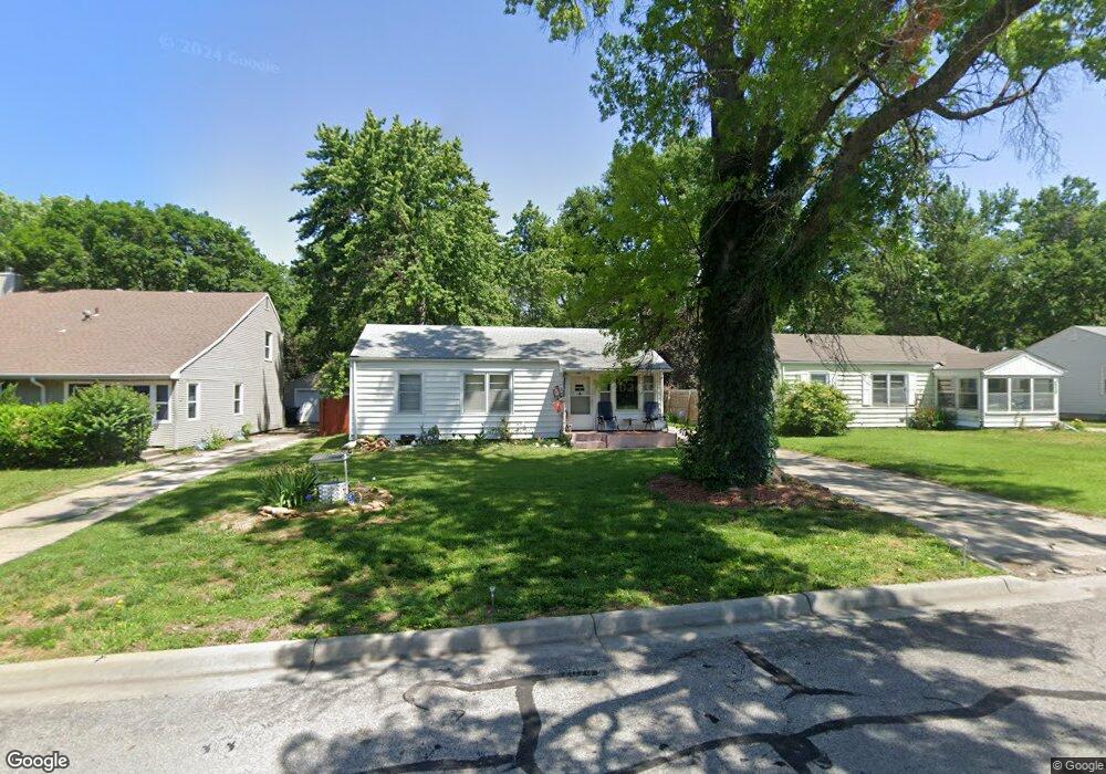
4326 SW Windsor Ct Topeka, KS 66604
McAlister Parkway NeighborhoodEstimated Value: $141,000 - $190,000
3
Beds
2
Baths
936
Sq Ft
$179/Sq Ft
Est. Value
About This Home
This home is located at 4326 SW Windsor Ct, Topeka, KS 66604 and is currently estimated at $167,188, approximately $178 per square foot. 4326 SW Windsor Ct is a home located in Shawnee County with nearby schools including Whitson Elementary School, Landon Middle School, and Topeka West High School.
Ownership History
Date
Name
Owned For
Owner Type
Purchase Details
Closed on
Feb 14, 2007
Sold by
Reese Dennis A and Mcpherson Victoria
Bought by
Mcpherson Victoria
Current Estimated Value
Purchase Details
Closed on
Jan 27, 2006
Sold by
Mitchell Berton E and Mitchell Viola B
Bought by
Reese Dennis A and Mcpherson Victoria
Home Financials for this Owner
Home Financials are based on the most recent Mortgage that was taken out on this home.
Original Mortgage
$81,100
Interest Rate
9.5%
Mortgage Type
Adjustable Rate Mortgage/ARM
Create a Home Valuation Report for This Property
The Home Valuation Report is an in-depth analysis detailing your home's value as well as a comparison with similar homes in the area
Home Values in the Area
Average Home Value in this Area
Purchase History
| Date | Buyer | Sale Price | Title Company |
|---|---|---|---|
| Mcpherson Victoria | -- | None Available | |
| Reese Dennis A | -- | None Available |
Source: Public Records
Mortgage History
| Date | Status | Borrower | Loan Amount |
|---|---|---|---|
| Previous Owner | Reese Dennis A | $81,100 |
Source: Public Records
Tax History Compared to Growth
Tax History
| Year | Tax Paid | Tax Assessment Tax Assessment Total Assessment is a certain percentage of the fair market value that is determined by local assessors to be the total taxable value of land and additions on the property. | Land | Improvement |
|---|---|---|---|---|
| 2025 | $2,204 | $16,438 | -- | -- |
| 2023 | $2,204 | $14,916 | $0 | $0 |
| 2022 | $1,914 | $12,970 | $0 | $0 |
| 2021 | $1,759 | $11,278 | $0 | $0 |
| 2020 | $1,655 | $10,741 | $0 | $0 |
| 2019 | $1,665 | $10,741 | $0 | $0 |
| 2018 | $1,617 | $10,428 | $0 | $0 |
| 2017 | $1,588 | $10,224 | $0 | $0 |
| 2014 | $1,245 | $10,224 | $0 | $0 |
Source: Public Records
Map
Nearby Homes
- 1421 SW Mcalister Ave
- 4200 SW Stratford Rd
- 4401 SW Connemara Ln
- 4405 SW Connemara Ln
- 4221 SW 17th St
- 1274 SW Indian Trail Ct
- 3636 SW Stratford Rd
- 1533 SW Stratford Rd
- 4230 SW 19th St
- 1625 SW Lakeside Dr
- 1212 SW New Forest Dr
- 3516 SW Avalon Ln
- 3405 SW Huntoon St
- 1944 SW Quivira Dr
- 1019 SW Exmoor Ln Unit Tract 17
- 1023 SW Exmoor Ln Unit Tract 16
- 3100 SW Canterbury Ln
- 1225 SW Lakeside Dr
- 2028 SW Stone Ave
- 1728 SW Fairlawn Rd
- 4330 SW Windsor Ct
- 4320 SW Windsor Ct
- 4334 SW Windsor Ct
- 4316 SW Windsor Ct
- 4321 SW Drury Ln
- 4317 SW Drury Ln
- 4313 SW Drury Ln
- 4325 SW Drury Ln
- 4300 SW Windsor Ct
- 1546 SW Mcalister Ave
- 4325 SW Windsor Ct
- 4309 SW Drury Ln
- 4305 SW Windsor Ct
- 1550 SW Mcalister Ave
- 1533 SW Mcalister Ave
- 1525 SW Mcalister Ave
- 4305 SW Drury Ln
- 4301 SW Windsor Ct
- 4212 SW Windsor Ct
- 1537 SW Mcalister Ave