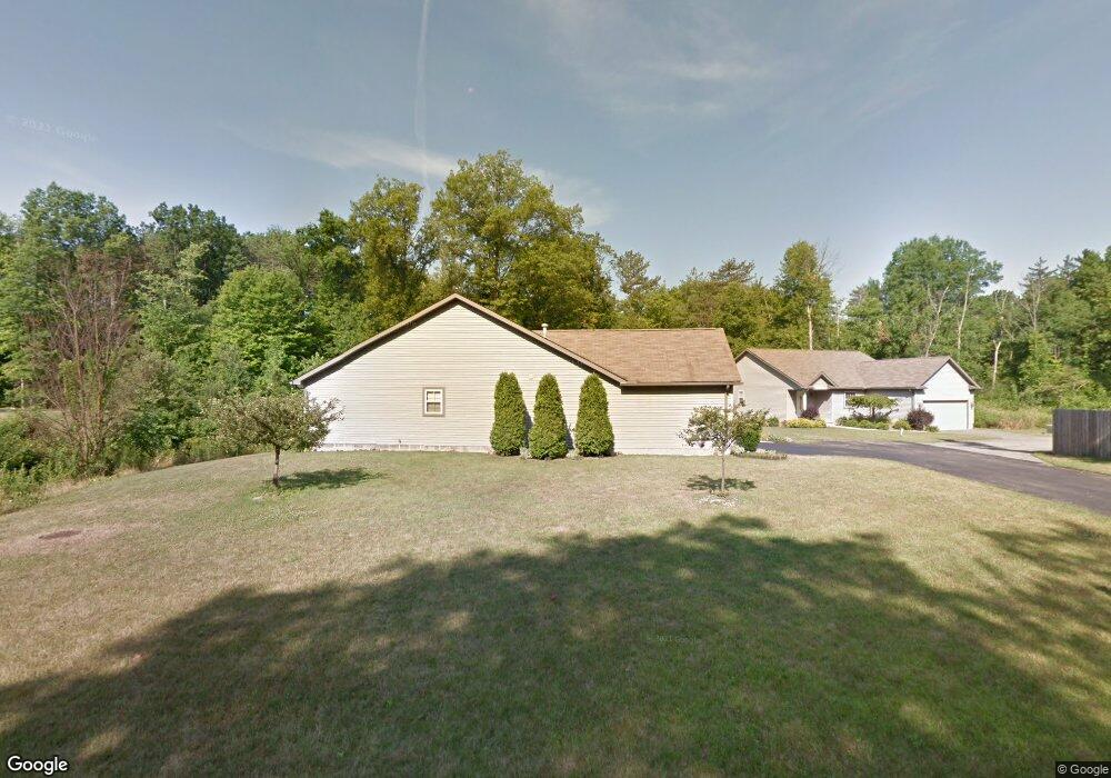
4328 Devonshire Dr Unit 4328 Youngstown, OH 44512
Estimated Value: $168,000 - $191,000
2
Beds
2
Baths
1,438
Sq Ft
$126/Sq Ft
Est. Value
About This Home
This home is located at 4328 Devonshire Dr Unit 4328, Youngstown, OH 44512 and is currently estimated at $180,781, approximately $125 per square foot. 4328 Devonshire Dr Unit 4328 is a home located in Mahoning County with nearby schools including West Boulevard Elementary School, Boardman Center Middle School, and Boardman High School.
Ownership History
Date
Name
Owned For
Owner Type
Purchase Details
Closed on
Apr 13, 2020
Sold by
Devonshire Property Group Llc
Bought by
Muyeller Anne and Muyeller David
Current Estimated Value
Purchase Details
Closed on
Jan 22, 2020
Sold by
Estate O Thedore J Bolan
Bought by
Devonshire Property Group Llc
Purchase Details
Closed on
Aug 21, 2019
Sold by
Devonshire Development Group Ltd
Bought by
Bolan Theodore J
Purchase Details
Closed on
Aug 21, 2002
Sold by
Devonshire Development Group Ltd
Bought by
Bolan Theodore J
Create a Home Valuation Report for This Property
The Home Valuation Report is an in-depth analysis detailing your home's value as well as a comparison with similar homes in the area
Home Values in the Area
Average Home Value in this Area
Purchase History
We collect this data history from publicly available records. To have your information removed, we recommend requesting removal directly through your county’s website.
| Date | Buyer | Sale Price | Title Company |
|---|---|---|---|
| Muyeller Anne | $30,000 | None Available | |
| Devonshire Property Group Llc | -- | None Available | |
| Bolan Theodore J | $109,500 | None Available | |
| Bolan Theodore J | $109,500 | -- |
Source: Public Records
Tax History
| Year | Tax Paid | Tax Assessment Tax Assessment Total Assessment is a certain percentage of the fair market value that is determined by local assessors to be the total taxable value of land and additions on the property. | Land | Improvement |
|---|---|---|---|---|
| 2025 | $2,179 | $42,960 | $3,500 | $39,460 |
| 2024 | $2,228 | $42,960 | $3,500 | $39,460 |
| 2023 | $2,199 | $42,960 | $3,500 | $39,460 |
| 2022 | $2,258 | $33,800 | $2,620 | $31,180 |
| 2021 | $2,260 | $33,800 | $2,620 | $31,180 |
| 2020 | $2,322 | $33,800 | $2,620 | $31,180 |
| 2019 | $2,472 | $31,590 | $2,450 | $29,140 |
| 2018 | $1,561 | $31,590 | $2,450 | $29,140 |
| 2017 | $1,502 | $31,590 | $2,450 | $29,140 |
| 2016 | $1,643 | $33,570 | $3,500 | $30,070 |
| 2015 | $1,611 | $33,570 | $3,500 | $30,070 |
| 2014 | $1,616 | $33,570 | $3,500 | $30,070 |
| 2013 | $1,596 | $33,570 | $3,500 | $30,070 |
Source: Public Records
Map
Nearby Homes
- 4207 Stratford Rd
- 4225 Stratford Rd
- 4250 Oak Knoll Dr
- 48 Lake Shore Dr
- 132 Jennette Dr
- 94 Jennette Dr
- 3648 Glenmere Dr
- 28 Jennette Dr
- 3530 Glenmere Dr
- 3539 Kiowa Dr
- 4047 Cascade Dr
- 322 Shields Rd
- 40 Gillian Ln
- 5200 West Blvd Unit 405
- 5200 West Blvd Unit 505
- 21 Vermont Ave
- 237 Shields Rd
- 3560 Arden Blvd
- 227 Shields Rd
- 4717 Market St
- 4326 Devonshire Dr Unit 2
- 4322 Devonshire Dr
- 4353 Devonshire Dr Unit 19
- 4372 Devonshire Dr Unit 4372
- 4374 Devonshire Dr Unit 4374
- 4376 Devonshire Dr Unit 4376
- 4359 Devonshire Dr
- 4359 Devonshire Dr Unit 22
- 4309 Devonshire Dr Unit 4309
- 4378 Devonshire Dr
- 4311 Devonshire Dr Unit 4311
- 4320 Devonshire Dr
- 4313 Devonshire Dr
- 4388 Devonshire Dr Unit 24390
- 4315 Devonshire Dr Unit 4315
- 4355 Devonshire Dr Unit 20
- 4317 Devonshire Dr
- 4390 Devonshire Dr Unit 1
- 4357 Devonshire Dr
- 0 Devonshire Dr
Your Personal Tour Guide
Ask me questions while you tour the home.