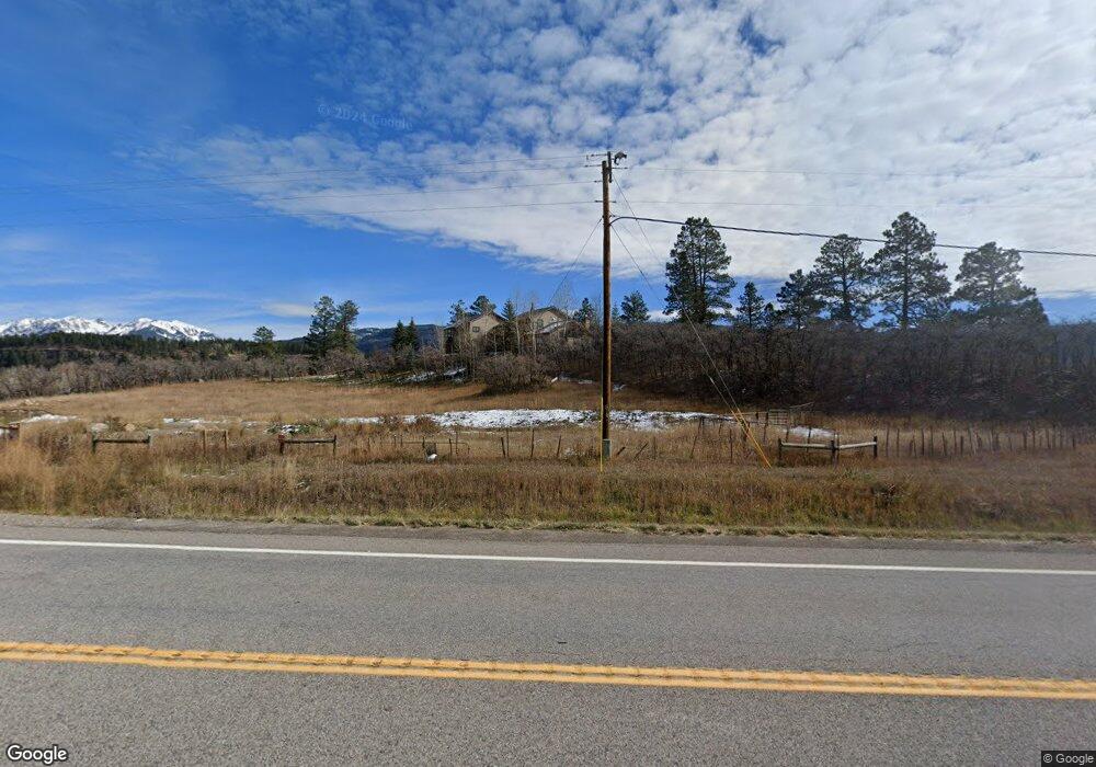
43298 Highway 550 Durango, CO 81301
Estimated Value: $1,220,000 - $2,084,000
4
Beds
4
Baths
3,602
Sq Ft
$508/Sq Ft
Est. Value
About This Home
This home is located at 43298 Highway 550, Durango, CO 81301 and is currently estimated at $1,828,428, approximately $507 per square foot. 43298 Highway 550 is a home located in La Plata County with nearby schools including Animas Valley Elementary School, Miller Middle School, and Durango High School.
Ownership History
Date
Name
Owned For
Owner Type
Purchase Details
Closed on
Dec 4, 2020
Sold by
Flying J Real Estate Lp
Bought by
Parkhill Steven L and Parkhill Lisa M
Current Estimated Value
Purchase Details
Closed on
Dec 19, 2007
Sold by
Rs Holdings Llc
Bought by
Plying J Real Estate Lp
Purchase Details
Closed on
Jul 29, 2005
Sold by
Boli Peter K and Boli Jill
Bought by
Phillips Smith Family Trust
Create a Home Valuation Report for This Property
The Home Valuation Report is an in-depth analysis detailing your home's value as well as a comparison with similar homes in the area
Home Values in the Area
Average Home Value in this Area
Purchase History
| Date | Buyer | Sale Price | Title Company |
|---|---|---|---|
| Parkhill Steven L | -- | None Listed On Document | |
| Plying J Real Estate Lp | $825,000 | Colorado Land Title Co | |
| Phillips Smith Family Trust | $475,000 | Colorado Land Title Co | |
| Smith Family Trust | $362,000 | Colorado Land Title Co |
Source: Public Records
Tax History Compared to Growth
Tax History
| Year | Tax Paid | Tax Assessment Tax Assessment Total Assessment is a certain percentage of the fair market value that is determined by local assessors to be the total taxable value of land and additions on the property. | Land | Improvement |
|---|---|---|---|---|
| 2025 | $3,870 | $98,890 | $19,080 | $79,810 |
| 2024 | $3,313 | $78,920 | $19,230 | $59,690 |
| 2023 | $3,313 | $82,400 | $20,080 | $62,320 |
| 2022 | $3,377 | $85,690 | $20,880 | $64,810 |
| 2021 | $3,340 | $80,510 | $16,550 | $63,960 |
| 2020 | $2,904 | $72,160 | $15,850 | $56,310 |
| 2019 | $0 | $72,160 | $15,850 | $56,310 |
| 2018 | $2,476 | $64,280 | $14,890 | $49,390 |
| 2017 | $2,425 | $64,280 | $14,890 | $49,390 |
| 2016 | $2,361 | $67,860 | $14,900 | $52,960 |
| 2015 | $1,917 | $67,860 | $14,900 | $52,960 |
| 2014 | $1,917 | $56,410 | $15,290 | $41,120 |
| 2013 | -- | $56,410 | $15,290 | $41,120 |
Source: Public Records
Map
Nearby Homes
- 42574 U S 550
- 145 Cliff Side Dr
- 298 Lakewood Dr
- 448 Hermosa View Dr
- 251 Hermosa View Dr
- 41563 N Us Hwy 550
- 41563 N U S Hwy 550
- 175 Spruce Mesa Dr
- 175 E Spruce Mesa Dr
- 421 S Windom Way
- 961 N Tamarron Dr Unit 617
- 961 N Tamarron Dr Unit 555
- 961 N Tamarron Dr Unit 633
- 401 Wilshire Dr
- 163 Peregrine Dr
- 204 Wilshire Dr
- 311 Wilshire Dr
- 190 Outlaw Dr Unit 3B
- 104 Outlaw Dr Unit 2A
- 516 Glacier Cliff Dr
- 43298 U S 550
- 43290 Highway 550
- 44979 Highway 550
- 43227 Highway 550
- 43219 Highway 550
- 42890 Highway 550
- 43642 Highway 550
- 43681 U S 550
- 43681 Highway 550
- 43709 Highway 550
- TBD Hwy 550 N
- 43709 U S 550
- 43810 Highway 550
- 0 Flying Dr S Unit 3 737046
- 0 Flying Dr S Unit 636855
- 0 Flying Dr S Unit 654894
- 0 Flying Dr S Unit 3 723984
- 0 Flying Dr S Unit 636854
- 0 Flying Dr S Unit 654896
- 0 Flying Dr S Unit 655005
