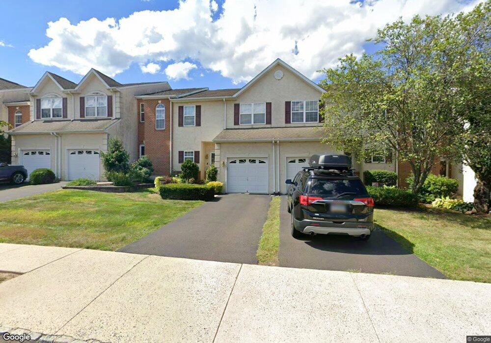
433 Buchanan Rd Perkasie, PA 18944
Estimated Value: $398,000 - $419,342
3
Beds
3
Baths
1,854
Sq Ft
$220/Sq Ft
Est. Value
About This Home
This home is located at 433 Buchanan Rd, Perkasie, PA 18944 and is currently estimated at $407,836, approximately $219 per square foot. 433 Buchanan Rd is a home located in Bucks County with nearby schools including Pennridge High School.
Ownership History
Date
Name
Owned For
Owner Type
Purchase Details
Closed on
May 25, 2006
Sold by
T H Properties
Bought by
Blazer Susan C
Current Estimated Value
Home Financials for this Owner
Home Financials are based on the most recent Mortgage that was taken out on this home.
Original Mortgage
$140,000
Outstanding Balance
$82,098
Interest Rate
6.62%
Mortgage Type
Purchase Money Mortgage
Estimated Equity
$325,738
Create a Home Valuation Report for This Property
The Home Valuation Report is an in-depth analysis detailing your home's value as well as a comparison with similar homes in the area
Home Values in the Area
Average Home Value in this Area
Purchase History
| Date | Buyer | Sale Price | Title Company |
|---|---|---|---|
| Blazer Susan C | $288,850 | None Available |
Source: Public Records
Mortgage History
| Date | Status | Borrower | Loan Amount |
|---|---|---|---|
| Open | Blazer Susan C | $140,000 |
Source: Public Records
Tax History
| Year | Tax Paid | Tax Assessment Tax Assessment Total Assessment is a certain percentage of the fair market value that is determined by local assessors to be the total taxable value of land and additions on the property. | Land | Improvement |
|---|---|---|---|---|
| 2025 | $5,115 | $30,050 | $2,400 | $27,650 |
| 2024 | $5,115 | $30,050 | $2,400 | $27,650 |
| 2023 | $5,055 | $30,050 | $2,400 | $27,650 |
| 2022 | $5,055 | $30,050 | $2,400 | $27,650 |
| 2021 | $5,055 | $30,050 | $2,400 | $27,650 |
| 2020 | $5,055 | $30,050 | $2,400 | $27,650 |
| 2019 | $5,025 | $30,050 | $2,400 | $27,650 |
| 2018 | $5,025 | $30,050 | $2,400 | $27,650 |
| 2017 | $4,987 | $30,050 | $2,400 | $27,650 |
| 2016 | $4,987 | $30,050 | $2,400 | $27,650 |
| 2015 | -- | $30,050 | $2,400 | $27,650 |
| 2014 | -- | $30,050 | $2,400 | $27,650 |
Source: Public Records
Map
Nearby Homes
- 483 Buchanan Rd
- 493 Buchanan Rd
- 310 Katie Ln
- 314 Katie Ln
- 291 Elephant Rd
- 4 Stewer Ln
- 169 Marlyn Ln
- 225 Barnhill Rd
- 133 Moyer Dr
- 104 Wigton Cir
- 1114 Webb Dr
- 204 Station Dr
- 17 Ruhl Dr
- 172 Station Dr
- 222 Center Dr
- 118 Bishop Way
- 103 Deep Run Rd Unit D3
- lot 11 Schadle Rd
- 316 Schadle Rd
- Lot 14 Schadle Rd
- 435 Buchanan Rd
- 431 Buchanan Rd
- 437 Buchanan Rd
- 439 Buchanan Rd
- 429 Buchanan Rd
- 427 Buchanan Rd
- 425 Buchanan Rd
- 428 Buchanan Rd
- 432 Buchanan Rd
- 434 Buchanan Rd
- 426 Buchanan Rd
- 430 Buchanan Rd
- 424 Buchanan Rd
- 422 Buchanan Rd
- 420 Buchanan Rd
- 450 Buchanan Rd
- 610 Miller Ct
- 452 Buchanan Rd
- 609 Miller Ct
- 454 Buchanan Rd
Your Personal Tour Guide
Ask me questions while you tour the home.