433 E Maple Dr Park City, UT 84098
Estimated Value: $2,130,000 - $3,327,000
4
Beds
4
Baths
3,800
Sq Ft
$696/Sq Ft
Est. Value
About This Home
This home is located at 433 E Maple Dr, Park City, UT 84098 and is currently estimated at $2,643,821, approximately $695 per square foot. 433 E Maple Dr is a home located in Summit County with nearby schools including Trailside School, Ecker Hill Middle School, and Treasure Mountain Junior High School.
Ownership History
Date
Name
Owned For
Owner Type
Purchase Details
Closed on
Nov 7, 2012
Sold by
Demarest George F and Demarest Suzanne M
Bought by
Hanson Brian
Current Estimated Value
Home Financials for this Owner
Home Financials are based on the most recent Mortgage that was taken out on this home.
Original Mortgage
$605,000
Outstanding Balance
$415,154
Interest Rate
3.47%
Mortgage Type
Adjustable Rate Mortgage/ARM
Estimated Equity
$2,228,667
Purchase Details
Closed on
Oct 4, 2006
Sold by
Jahries Robert Shannon and Jahries Margaret Afton
Bought by
Demarest George F and Demarest Suzanne M
Home Financials for this Owner
Home Financials are based on the most recent Mortgage that was taken out on this home.
Original Mortgage
$668,000
Interest Rate
6.43%
Mortgage Type
New Conventional
Create a Home Valuation Report for This Property
The Home Valuation Report is an in-depth analysis detailing your home's value as well as a comparison with similar homes in the area
Home Values in the Area
Average Home Value in this Area
Purchase History
| Date | Buyer | Sale Price | Title Company |
|---|---|---|---|
| Hanson Brian | -- | High Country Title | |
| Demarest George F | -- | Inwest Title Services Park C |
Source: Public Records
Mortgage History
| Date | Status | Borrower | Loan Amount |
|---|---|---|---|
| Open | Hanson Brian | $605,000 | |
| Previous Owner | Demarest George F | $668,000 |
Source: Public Records
Tax History
| Year | Tax Paid | Tax Assessment Tax Assessment Total Assessment is a certain percentage of the fair market value that is determined by local assessors to be the total taxable value of land and additions on the property. | Land | Improvement |
|---|---|---|---|---|
| 2025 | $7,688 | $1,188,554 | $546,390 | $642,164 |
| 2024 | $6,619 | $1,243,366 | $509,650 | $733,716 |
| 2023 | $6,619 | $1,064,616 | $330,900 | $733,716 |
| 2022 | $6,883 | $982,219 | $330,900 | $651,319 |
| 2021 | $7,426 | $905,339 | $254,020 | $651,319 |
| 2020 | $4,665 | $528,332 | $146,373 | $381,959 |
| 2019 | $4,749 | $528,332 | $146,373 | $381,959 |
| 2018 | $4,749 | $528,332 | $146,373 | $381,959 |
| 2017 | $3,885 | $461,357 | $146,373 | $314,984 |
| 2016 | $3,947 | $432,914 | $146,373 | $286,541 |
| 2015 | $3,986 | $407,889 | $0 | $0 |
| 2013 | $4,037 | $392,061 | $0 | $0 |
Source: Public Records
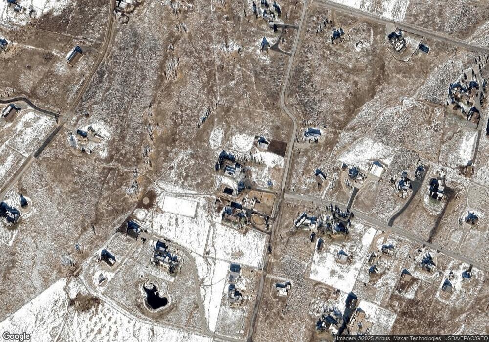
Map
Nearby Homes
- 469 Maple Dr
- 718 Maple Dr
- 7850 Wasatch Way
- 8151 N Bitner Ranch Rd
- 385 W Goshawk Ranch Rd
- 8175 Glenwild Dr Unit 163
- 995 Echo Ln
- 9581 N Kimball Canyon Rd Unit 122
- 9581 N Kimball Canyon Rd
- 295 Hollyhock St Unit 161
- 366 Valley Dr
- 8020 Glenwild Dr
- 431 W Deer Hill Rd Unit 45
- 8819 Highfield Rd Unit 61
- 686 W Deer Hill Rd Unit 2-88
- 9506 Silver Creek Rd
- 7664 Whileaway Rd E Unit East
- 685 Hollyhock St
- 717 W Moose Hill Rd
- 896 W Deer Hill Rd
- 541 E Maple Dr
- 662 E Maple Dr
- 586 E Maple Dr
- 379 E Maple Dr
- 343 Maple Dr
- 343 Maple Dr
- 472 E Maple Dr
- 8422 Redden Rd
- 340 E Maple Dr
- 378 Maple Dr Unit A
- 378 Maple Dr
- 416 Maple Dr
- 433 Maple Dr
- 8203 Redden Rd
- 305 Parleys Rd
- 204 E Westwood Rd
- 204 Westwood Rd
- 318 Westwood Rd
- 318 Westwood Rd
- 8496 Cottonwood Trail
Your Personal Tour Guide
Ask me questions while you tour the home.