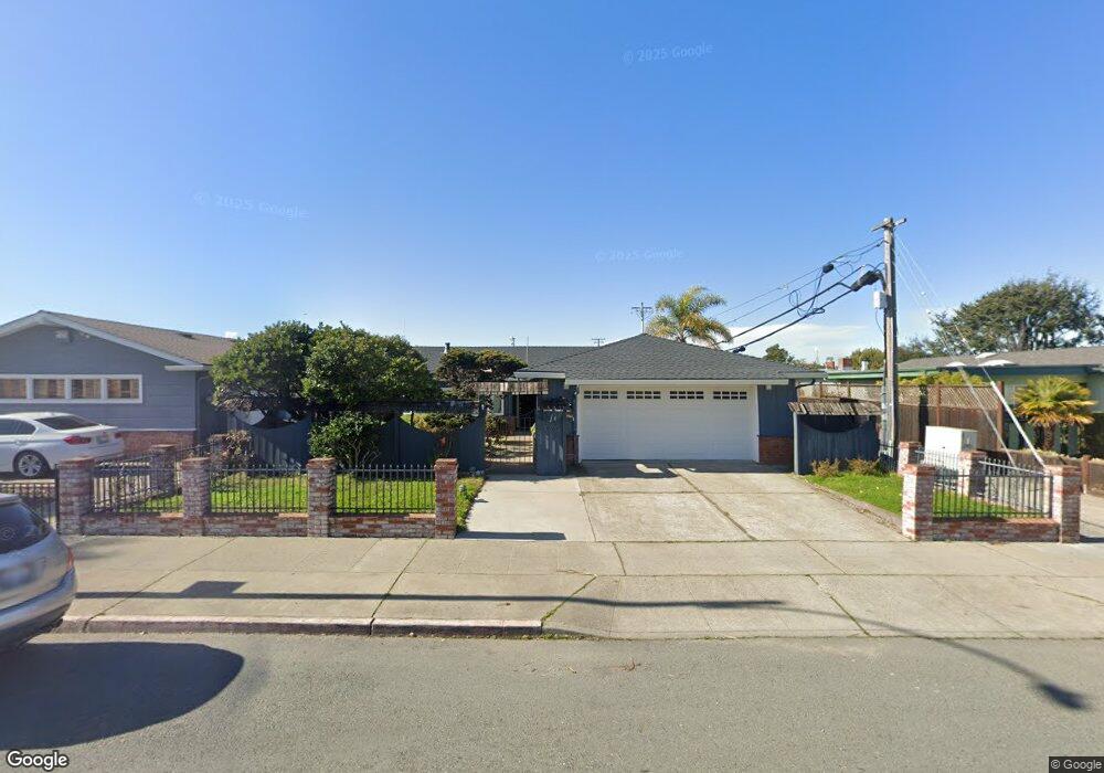
433 Grand St Alameda, CA 94501
South Shore NeighborhoodEstimated Value: $1,168,050 - $1,612,000
4
Beds
2
Baths
1,527
Sq Ft
$862/Sq Ft
Est. Value
About This Home
This home is located at 433 Grand St, Alameda, CA 94501 and is currently estimated at $1,316,013, approximately $861 per square foot. 433 Grand St is a home located in Alameda County with nearby schools including William G. Paden Elementary School, Will C. Wood Middle School, and Encinal Junior/Senior High.
Ownership History
Date
Name
Owned For
Owner Type
Purchase Details
Closed on
Oct 13, 2013
Sold by
Fong Donna M
Bought by
Fong Donna Mon and Donna Fong Living Trust
Current Estimated Value
Purchase Details
Closed on
Nov 20, 1997
Sold by
Fong Donald K and Fong Lisa Y
Bought by
Fong Donna M
Home Financials for this Owner
Home Financials are based on the most recent Mortgage that was taken out on this home.
Original Mortgage
$180,000
Interest Rate
7.33%
Mortgage Type
Seller Take Back
Create a Home Valuation Report for This Property
The Home Valuation Report is an in-depth analysis detailing your home's value as well as a comparison with similar homes in the area
Home Values in the Area
Average Home Value in this Area
Purchase History
| Date | Buyer | Sale Price | Title Company |
|---|---|---|---|
| Fong Donna Mon | -- | None Available | |
| Fong Donna M | $220,000 | -- |
Source: Public Records
Mortgage History
| Date | Status | Borrower | Loan Amount |
|---|---|---|---|
| Closed | Fong Donna M | $180,000 |
Source: Public Records
Tax History Compared to Growth
Tax History
| Year | Tax Paid | Tax Assessment Tax Assessment Total Assessment is a certain percentage of the fair market value that is determined by local assessors to be the total taxable value of land and additions on the property. | Land | Improvement |
|---|---|---|---|---|
| 2025 | $6,957 | $402,764 | $127,733 | $282,031 |
| 2024 | $6,957 | $394,731 | $125,229 | $276,502 |
| 2023 | $6,713 | $393,855 | $122,774 | $271,081 |
| 2022 | $6,567 | $379,133 | $120,367 | $265,766 |
| 2021 | $6,418 | $371,562 | $118,007 | $260,555 |
| 2020 | $6,342 | $374,681 | $116,797 | $257,884 |
| 2019 | $5,830 | $367,337 | $114,508 | $252,829 |
| 2018 | $5,580 | $350,822 | $112,263 | $238,559 |
| 2017 | $5,348 | $343,944 | $110,062 | $233,882 |
| 2016 | $5,339 | $337,201 | $107,904 | $229,297 |
| 2015 | $5,314 | $332,137 | $106,284 | $225,853 |
| 2014 | $5,049 | $325,632 | $104,202 | $221,430 |
Source: Public Records
Map
Nearby Homes
- 404 Coral Reef Rd
- 608 Fortress Isle
- 325 Kitty Hawk Rd Unit 207
- 325 Kitty Hawk Rd Unit 304
- 955 Shorepoint Ct Unit 110
- 955 Shorepoint Ct Unit 200
- 965 Shorepoint Ct
- 1941 Franciscan Way
- 1001 Shoreline Dr Unit 301
- 950 Shorepoint Ct Unit 100
- 933 Shoreline Dr Unit 203
- 2000 Clinton Ave
- 2031 Otis Dr Unit H
- 1812 San Antonio Ave
- 2106 Otis Dr Unit D
- 1628 Encinal Ave
- 610 Grand St
- 2101 Shoreline Dr Unit 437
- 2101 Shoreline Dr Unit 233
- 2101 Shoreline Dr Unit 475
- 429 Grand St
- 501 Grand St
- 432 Sunset Rd
- 425 Grand St
- 428 Sunset Rd
- 505 Grand St
- 1229 Coral Reef Place
- 424 Sunset Rd
- 421 Grand St
- 509 Grand St
- 420 Sunset Rd
- 1225 Coral Reef Place
- 417 Grand St
- 513 Grand St
- 1252 Rosewood Way
- 416 Sunset Rd
- 1221 Coral Reef Place
- 1248 Rosewood Way
- 429 Sunset Rd
- 517 Grand St