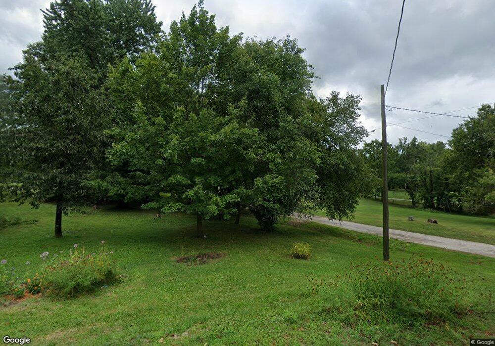
433 Johnson Dr Shoals, IN 47581
Estimated Value: $64,000 - $139,000
Studio
--
Bath
806
Sq Ft
$129/Sq Ft
Est. Value
About This Home
This home is located at 433 Johnson Dr, Shoals, IN 47581 and is currently estimated at $104,075, approximately $129 per square foot. 433 Johnson Dr is a home located in Martin County with nearby schools including Shoals Community Elementary School, Shoals Middle School, and Shoals Community Junior/Senior High School.
Ownership History
Date
Name
Owned For
Owner Type
Purchase Details
Closed on
Oct 27, 2023
Sold by
Tedrow Mark E
Bought by
Sorrells Jordan T
Current Estimated Value
Home Financials for this Owner
Home Financials are based on the most recent Mortgage that was taken out on this home.
Original Mortgage
$46,400
Outstanding Balance
$43,752
Interest Rate
7.18%
Mortgage Type
New Conventional
Estimated Equity
$60,323
Purchase Details
Closed on
May 22, 2015
Sold by
Mitze O Mitze O
Bought by
Tedrow Mark E and Tedrow Mary R
Create a Home Valuation Report for This Property
The Home Valuation Report is an in-depth analysis detailing your home's value as well as a comparison with similar homes in the area
Purchase History
| Date | Buyer | Sale Price | Title Company |
|---|---|---|---|
| Sorrells Jordan T | -- | None Listed On Document | |
| Tedrow Mark E | -- | -- |
Source: Public Records
Mortgage History
| Date | Status | Borrower | Loan Amount |
|---|---|---|---|
| Open | Sorrells Jordan T | $46,400 |
Source: Public Records
Tax History
| Year | Tax Paid | Tax Assessment Tax Assessment Total Assessment is a certain percentage of the fair market value that is determined by local assessors to be the total taxable value of land and additions on the property. | Land | Improvement |
|---|---|---|---|---|
| 2025 | $474 | $87,400 | $4,600 | $82,800 |
| 2024 | $474 | $79,900 | $4,400 | $75,500 |
| 2023 | $474 | $74,600 | $4,200 | $70,400 |
| 2022 | $1,049 | $51,500 | $4,200 | $47,300 |
| 2021 | $970 | $46,200 | $3,600 | $42,600 |
| 2020 | $862 | $40,900 | $3,300 | $37,600 |
| 2019 | $863 | $40,900 | $3,200 | $37,700 |
| 2018 | $813 | $26,300 | $4,500 | $21,800 |
| 2017 | $813 | $26,300 | $4,500 | $21,800 |
| 2016 | $813 | $26,300 | $4,500 | $21,800 |
| 2014 | $826 | $27,200 | $4,500 | $22,700 |
| 2013 | -- | $27,800 | $4,500 | $23,300 |
Source: Public Records
Map
Nearby Homes
- 807 Upper Circle Dr
- 524 High St
- 0 Hilltop Dr Unit 25 201822398
- 0 Peggy Hollow Rd Unit 202530973
- 0 Chicken Farm Rd Unit 202539394
- 14619 N State Road 450
- 14619 Indiana 450
- 14716 McBride Bluff Rd
- 15850 Witt Rd
- 7862 Butler Bridge Rd
- 7862 Butler Ridge Rd
- 96.6 AC Reinhart Rd
- 1559 Scenic Hill Rd
- 1624 Reinhart Rd
- 102 Eastgate Ave
- 0 Friends Creek Rd
- 309 SE 1st St
- 207 Church St
- 205 S Oak St
- 90+/- Acres U S 231
- 433 Courthouse Dr
- 426 Chestnut St
- 227 Capital Ave
- 229 Capital Ave
- 519 Capital Ave
- 511 Capital Ave
- 419 Chestnut St
- 423 Chestnut St
- 533 Capital Ave
- 431 Capital Ave
- 607 Capital Ave
- 501 Capital Ave
- 602 Ravine St
- 409 Capital Ave
- 310 Maple St
- 414 Lynwood St
- 614 Ravine St
- 619 Capital Ave
- 416 Stephens St
- 7114 Us Highway 50
Your Personal Tour Guide
Ask me questions while you tour the home.