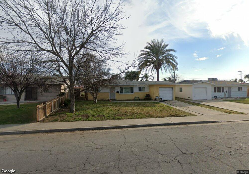
433 Mark Ave Shafter, CA 93263
Estimated Value: $219,000 - $263,000
3
Beds
1
Bath
1,026
Sq Ft
$242/Sq Ft
Est. Value
About This Home
This home is located at 433 Mark Ave, Shafter, CA 93263 and is currently estimated at $247,860, approximately $241 per square foot. 433 Mark Ave is a home located in Kern County with nearby schools including Redwood Elementary School, Golden Oak Elementary School, and Shafter High School.
Ownership History
Date
Name
Owned For
Owner Type
Purchase Details
Closed on
Feb 20, 2014
Sold by
Graddy James E
Bought by
Famil Graddy James E and Famil James E Graddy Revocable
Current Estimated Value
Purchase Details
Closed on
Feb 11, 2013
Sold by
German Charlotte B
Bought by
Graddy James E and Weiderbach Deborah A
Purchase Details
Closed on
Nov 28, 2000
Sold by
German Kenneth L
Bought by
German Charlotte B
Purchase Details
Closed on
Nov 17, 2000
Sold by
Miller Edna B
Bought by
German Charlotte B
Create a Home Valuation Report for This Property
The Home Valuation Report is an in-depth analysis detailing your home's value as well as a comparison with similar homes in the area
Home Values in the Area
Average Home Value in this Area
Purchase History
| Date | Buyer | Sale Price | Title Company |
|---|---|---|---|
| Famil Graddy James E | -- | Ticor Title Company | |
| Graddy James E | $60,000 | Ticor Title Company Of Ca | |
| German Charlotte B | -- | Commonwealth Land Title Co | |
| German Charlotte B | $64,000 | Commonwealth Land Title Co |
Source: Public Records
Tax History
| Year | Tax Paid | Tax Assessment Tax Assessment Total Assessment is a certain percentage of the fair market value that is determined by local assessors to be the total taxable value of land and additions on the property. | Land | Improvement |
|---|---|---|---|---|
| 2025 | $1,127 | $73,877 | $18,468 | $55,409 |
| 2024 | $1,091 | $72,429 | $18,106 | $54,323 |
| 2023 | $1,091 | $71,009 | $17,751 | $53,258 |
| 2022 | $1,035 | $69,617 | $17,403 | $52,214 |
| 2021 | $976 | $68,253 | $17,062 | $51,191 |
| 2020 | $939 | $67,555 | $16,888 | $50,667 |
| 2019 | $937 | $67,555 | $16,888 | $50,667 |
| 2018 | $904 | $64,933 | $16,233 | $48,700 |
| 2017 | $898 | $63,661 | $15,915 | $47,746 |
| 2016 | $851 | $62,413 | $15,603 | $46,810 |
| 2015 | $823 | $61,476 | $15,369 | $46,107 |
| 2014 | $792 | $60,272 | $15,068 | $45,204 |
Source: Public Records
Map
Nearby Homes
- 436 N Reiker St
- 421 Chris Ave
- 611 Ohanneson Ave
- 245 Atlantic Ave
- 269 Burns Ct
- 408 W Euclid Ave
- 8728 Brindlewood Ave
- 8724 Brindlewood Ave
- 8727 Brindlewood Ave
- 8743 Sagebrush Ave
- 625 Sammy Way
- 618 Sammy Way
- 708 Sammy Way
- 720 Sammy Way
- 728 Sammy Way
- 626 Sammy Way
- 716 Sammy Way
- 707 Sammy Way
- 715 Sammy Way
- 732 Sammy Way
Your Personal Tour Guide
Ask me questions while you tour the home.