Estimated Value: $202,774 - $265,000
3
Beds
1
Bath
948
Sq Ft
$240/Sq Ft
Est. Value
About This Home
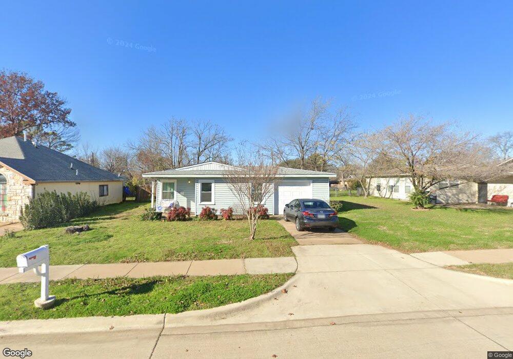
This home is located at 433 Michael Blvd, Hurst, TX 76053 and is currently estimated at $227,944, approximately $240 per square foot. 433 Michael Blvd is a home located in Tarrant County with nearby schools including Bellaire Elementary School, Hurst J High School, and L.D. Bell High School.
Ownership History
Date
Name
Owned For
Owner Type
Purchase Details
Closed on
Aug 31, 1999
Sold by
White Bradley Wayne
Bought by
Leon Joann S
Current Estimated Value
Home Financials for this Owner
Home Financials are based on the most recent Mortgage that was taken out on this home.
Original Mortgage
$53,872
Outstanding Balance
$15,799
Interest Rate
7.68%
Mortgage Type
FHA
Estimated Equity
$212,145
Create a Home Valuation Report for This Property
The Home Valuation Report is an in-depth analysis detailing your home's value as well as a comparison with similar homes in the area
Home Values in the Area
Average Home Value in this Area
Purchase History
| Date | Buyer | Sale Price | Title Company |
|---|---|---|---|
| Leon Joann S | -- | Southwest Land Title |
Source: Public Records
Mortgage History
| Date | Status | Borrower | Loan Amount |
|---|---|---|---|
| Open | Leon Joann S | $53,872 |
Source: Public Records
Tax History Compared to Growth
Tax History
| Year | Tax Paid | Tax Assessment Tax Assessment Total Assessment is a certain percentage of the fair market value that is determined by local assessors to be the total taxable value of land and additions on the property. | Land | Improvement |
|---|---|---|---|---|
| 2025 | $232 | $186,502 | $50,000 | $136,502 |
| 2024 | $232 | $186,502 | $50,000 | $136,502 |
| 2023 | $2,405 | $165,880 | $35,000 | $130,880 |
| 2022 | $2,513 | $163,818 | $35,000 | $128,818 |
| 2021 | $2,393 | $157,522 | $35,000 | $122,522 |
| 2020 | $2,170 | $125,689 | $35,000 | $90,689 |
| 2019 | $2,007 | $118,845 | $35,000 | $83,845 |
| 2018 | $404 | $74,536 | $15,000 | $59,536 |
| 2017 | $1,715 | $79,974 | $15,000 | $64,974 |
| 2016 | $1,559 | $74,547 | $15,000 | $59,547 |
| 2015 | $1,126 | $56,000 | $15,000 | $41,000 |
| 2014 | $1,126 | $56,000 | $15,000 | $41,000 |
Source: Public Records
Map
Nearby Homes
- 308 Wanda Way
- 212 E Ellen Ave
- 312 E Ellen Ave
- 260 Corinna Ct
- 108 Donald Dr
- 205 Corinna Ct
- 1407 Woodridge Cir
- 47 Donald Ct
- 552 Norwood Dr
- 1302 Woodridge Cir
- 408 Harrison Ln
- 609 Norwood Dr
- 1309 Driftwood Dr
- 921 Ascension Dr
- 127 W Cedar St
- 803 Glenda Dr
- 802 Brown Trail
- 209 W Cedar St
- 832 Chateau Valee Cir
- 1016 Keith Dr
- 429 Michael Blvd
- 437 Michael Blvd
- 441 Michael Blvd
- 425 Michael Blvd
- 208 Page Ct
- 212 Page Ct
- 204 Page Ct
- 445 Michael Blvd
- 432 Michael Blvd
- 436 Michael Blvd
- 216 Page Ct
- 428 Michael Blvd
- 200 Page Ct
- 424 Michael Blvd
- 449 Michael Blvd
- 504 Brookfield Dr
- 417 Michael Blvd
- 503 Bluebonnet Dr
- 448 Michael Blvd
- 453 Michael Blvd