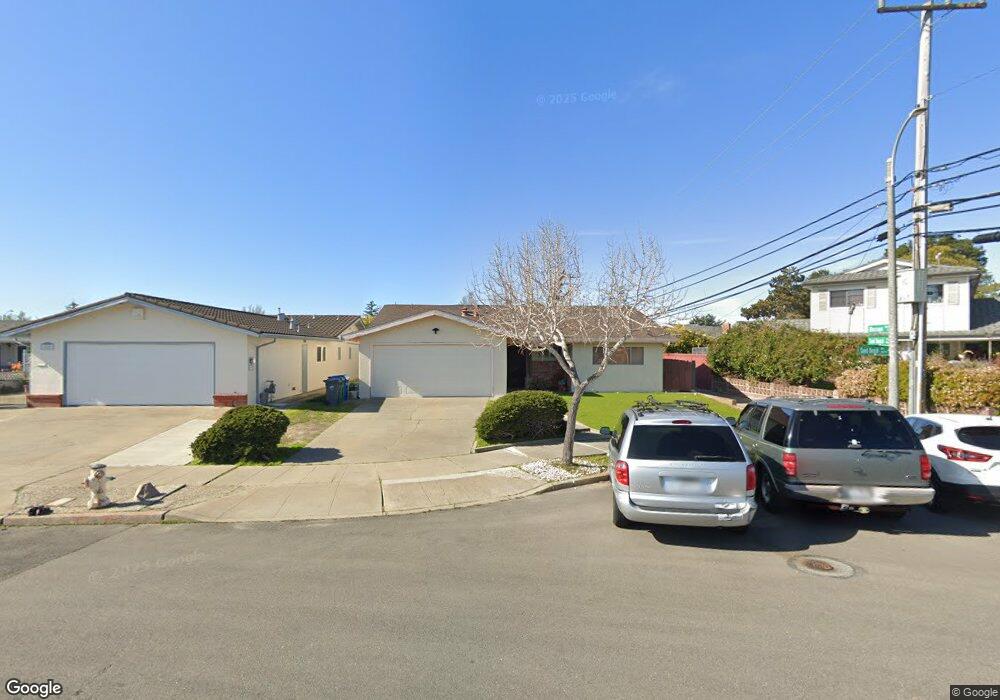
433 Sand Beach Rd Alameda, CA 94501
South Shore NeighborhoodEstimated Value: $1,164,298 - $1,506,000
3
Beds
2
Baths
1,543
Sq Ft
$854/Sq Ft
Est. Value
About This Home
This home is located at 433 Sand Beach Rd, Alameda, CA 94501 and is currently estimated at $1,318,325, approximately $854 per square foot. 433 Sand Beach Rd is a home located in Alameda County with nearby schools including William G. Paden Elementary School, Will C. Wood Middle School, and Encinal Junior/Senior High.
Ownership History
Date
Name
Owned For
Owner Type
Purchase Details
Closed on
Apr 19, 2011
Sold by
Anderson Steven C and Anderson Steve
Bought by
Anderson Steven C and Steven C Anderson Living Trust
Current Estimated Value
Purchase Details
Closed on
Jul 7, 2005
Sold by
Anderson Sandra
Bought by
Anderson Steve and Anderson Sandra
Create a Home Valuation Report for This Property
The Home Valuation Report is an in-depth analysis detailing your home's value as well as a comparison with similar homes in the area
Home Values in the Area
Average Home Value in this Area
Purchase History
| Date | Buyer | Sale Price | Title Company |
|---|---|---|---|
| Anderson Steven C | -- | None Available | |
| Anderson Steve | -- | None Available | |
| Anderson Steve | -- | -- | |
| Anderson Sandra | -- | -- |
Source: Public Records
Tax History
| Year | Tax Paid | Tax Assessment Tax Assessment Total Assessment is a certain percentage of the fair market value that is determined by local assessors to be the total taxable value of land and additions on the property. | Land | Improvement |
|---|---|---|---|---|
| 2025 | $6,484 | $361,905 | $143,498 | $218,407 |
| 2024 | $6,484 | $354,809 | $140,684 | $214,125 |
| 2023 | $6,263 | $347,853 | $137,926 | $209,927 |
| 2022 | $6,130 | $341,033 | $135,222 | $205,811 |
| 2021 | $5,995 | $334,347 | $132,571 | $201,776 |
| 2020 | $5,925 | $330,920 | $131,212 | $199,708 |
| 2019 | $5,411 | $324,432 | $128,639 | $195,793 |
| 2018 | $5,284 | $318,073 | $126,118 | $191,955 |
| 2017 | $5,070 | $311,836 | $123,645 | $188,191 |
| 2016 | $5,060 | $305,723 | $121,221 | $184,502 |
| 2015 | $5,037 | $301,131 | $119,400 | $181,731 |
| 2014 | $4,789 | $295,233 | $117,062 | $178,171 |
Source: Public Records
Map
Nearby Homes
- 955 Shorepoint Ct Unit 100
- 965 Shorepoint Ct
- 960 Shorepoint Ct Unit 116
- 630 Larchmont Isle
- 933 Shoreline Dr Unit 306
- 824 Paru St
- 325 Kitty Hawk Rd Unit 207
- 1003 Morton St
- 632 Waterview Isle
- 1822 Clinton Ave
- 1203 Benton St
- 1000 Central Ave
- 413 Whitehall Rd
- 610 Grand St
- 1211 Paru St
- 1500 Alameda Ave Unit G
- 1202 Grand St
- 2031 Otis Dr Unit H
- 1401 Cottage St Unit D
- 2106 Otis Dr Unit A
- 429 Sand Beach Rd
- 1137 Sand Beach Place
- 432 Fair Haven Rd
- 425 Sand Beach Rd
- 428 Fair Haven Rd
- 1129 Shell Gate Place
- 1145 Sand Beach Place
- 424 Fair Haven Rd
- 421 Sand Beach Rd
- 1149 Sand Beach Place
- 428 Sand Beach Rd
- 420 Fair Haven Rd
- 1125 Shell Gate Place
- 424 Sand Beach Rd
- 1144 Rosewood Way
- 1148 Rosewood Way
- 1153 Sand Beach Place
- 417 Sand Beach Rd
- 1140 Rosewood Way
- 1152 Rosewood Way
Your Personal Tour Guide
Ask me questions while you tour the home.