Estimated Value: $663,000 - $817,000
5
Beds
4
Baths
3,110
Sq Ft
$237/Sq Ft
Est. Value
About This Home
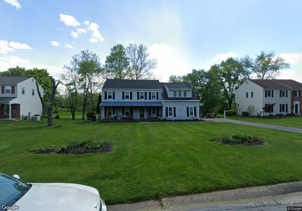
This home is located at 433 Spruce Dr, Exton, PA 19341 and is currently estimated at $736,602, approximately $236 per square foot. 433 Spruce Dr is a home located in Chester County with nearby schools including Mary C Howse Elementary School, E.N. Peirce Middle School, and Henderson High School.
Ownership History
Date
Name
Owned For
Owner Type
Purchase Details
Closed on
Aug 27, 1998
Sold by
Czukoski Troy A and Bogle Ann T
Bought by
Czukoski Troy A and Czukoski Ann T
Current Estimated Value
Purchase Details
Closed on
Jan 9, 1998
Sold by
Lundberg Daniel P and Lundberg Susan T
Bought by
Czukoski Troy A and Bogle Ann T
Home Financials for this Owner
Home Financials are based on the most recent Mortgage that was taken out on this home.
Original Mortgage
$169,500
Interest Rate
6.92%
Purchase Details
Closed on
Apr 18, 1996
Sold by
Jackson William M and Jackson Candace M
Bought by
Lundberg Daniel P and Lundberg Susan T
Home Financials for this Owner
Home Financials are based on the most recent Mortgage that was taken out on this home.
Original Mortgage
$189,000
Interest Rate
7.77%
Create a Home Valuation Report for This Property
The Home Valuation Report is an in-depth analysis detailing your home's value as well as a comparison with similar homes in the area
Home Values in the Area
Average Home Value in this Area
Purchase History
| Date | Buyer | Sale Price | Title Company |
|---|---|---|---|
| Czukoski Troy A | -- | -- | |
| Czukoski Troy A | $213,500 | -- | |
| Lundberg Daniel P | $210,000 | -- |
Source: Public Records
Mortgage History
| Date | Status | Borrower | Loan Amount |
|---|---|---|---|
| Previous Owner | Czukoski Troy A | $169,500 | |
| Previous Owner | Lundberg Daniel P | $189,000 |
Source: Public Records
Tax History
| Year | Tax Paid | Tax Assessment Tax Assessment Total Assessment is a certain percentage of the fair market value that is determined by local assessors to be the total taxable value of land and additions on the property. | Land | Improvement |
|---|---|---|---|---|
| 2025 | $6,858 | $236,570 | $49,300 | $187,270 |
| 2024 | $6,858 | $236,570 | $49,300 | $187,270 |
| 2023 | $6,541 | $236,110 | $49,300 | $186,810 |
| 2022 | $6,452 | $236,110 | $49,300 | $186,810 |
| 2021 | $6,358 | $236,110 | $49,300 | $186,810 |
| 2020 | $6,315 | $236,110 | $49,300 | $186,810 |
| 2019 | $6,224 | $236,110 | $49,300 | $186,810 |
| 2018 | $6,031 | $234,000 | $49,300 | $184,700 |
| 2017 | $5,894 | $234,000 | $49,300 | $184,700 |
| 2016 | $4,492 | $234,000 | $49,300 | $184,700 |
| 2015 | $4,492 | $234,000 | $49,300 | $184,700 |
| 2014 | $4,492 | $234,000 | $49,300 | $184,700 |
Source: Public Records
Map
Nearby Homes
- 524 E Saxony Dr Unit 524
- 447 Lee Place
- 577 Pewter Dr
- 315 Oak Ln W
- 510 Woodview Dr
- 609 Thomas Rd
- 261 Watch Hill Rd
- 1556 S Whitford Rd
- 305 Concord Ave
- 411 Forge Ln
- 236 Silverbell Ct
- 141 Four Leaf Dr
- 218 Hendricks Ave
- 1016 W Boot Rd
- 1432 Grove Ave
- 1430 Grove Ave
- 287 Tall Trees Cir
- 222 W Uwchlan Ave
- 300 Winding Way Unit B16
- 546 W Boot Rd
Your Personal Tour Guide
Ask me questions while you tour the home.