4331 Willow Pond Cir Unit 10D West Palm Beach, FL 33417
Lakeside Green NeighborhoodEstimated Value: $255,651 - $299,000
2
Beds
2
Baths
1,153
Sq Ft
$237/Sq Ft
Est. Value
About This Home
This home is located at 4331 Willow Pond Cir Unit 10D, West Palm Beach, FL 33417 and is currently estimated at $273,663, approximately $237 per square foot. 4331 Willow Pond Cir Unit 10D is a home located in Palm Beach County with nearby schools including Seminole Trails Elementary School, Bear Lakes Middle School, and Palm Beach Lakes High School.
Ownership History
Date
Name
Owned For
Owner Type
Purchase Details
Closed on
Jun 4, 2010
Sold by
Clark Alice A
Bought by
Jamerson William D
Current Estimated Value
Home Financials for this Owner
Home Financials are based on the most recent Mortgage that was taken out on this home.
Original Mortgage
$69,600
Outstanding Balance
$46,106
Interest Rate
4.97%
Mortgage Type
New Conventional
Estimated Equity
$227,557
Purchase Details
Closed on
May 21, 1999
Sold by
Pr Gloria Mizsak and Pr Philip Desarno
Bought by
Clark Lester G
Home Financials for this Owner
Home Financials are based on the most recent Mortgage that was taken out on this home.
Original Mortgage
$48,500
Interest Rate
6.87%
Mortgage Type
New Conventional
Create a Home Valuation Report for This Property
The Home Valuation Report is an in-depth analysis detailing your home's value as well as a comparison with similar homes in the area
Home Values in the Area
Average Home Value in this Area
Purchase History
| Date | Buyer | Sale Price | Title Company |
|---|---|---|---|
| Jamerson William D | $87,000 | All Coast Title Llc | |
| Clark Lester G | $50,000 | -- |
Source: Public Records
Mortgage History
| Date | Status | Borrower | Loan Amount |
|---|---|---|---|
| Open | Jamerson William D | $69,600 | |
| Previous Owner | Clark Lester G | $48,500 |
Source: Public Records
Tax History Compared to Growth
Tax History
| Year | Tax Paid | Tax Assessment Tax Assessment Total Assessment is a certain percentage of the fair market value that is determined by local assessors to be the total taxable value of land and additions on the property. | Land | Improvement |
|---|---|---|---|---|
| 2025 | $1,926 | $147,241 | -- | -- |
| 2024 | $1,926 | $143,091 | -- | -- |
| 2023 | $1,862 | $138,923 | $0 | $0 |
| 2022 | $1,898 | $134,877 | $0 | $0 |
| 2021 | $1,862 | $130,949 | $0 | $0 |
| 2020 | $1,824 | $129,141 | $0 | $0 |
| 2019 | $1,801 | $126,238 | $0 | $126,238 |
| 2018 | $1,793 | $116,105 | $0 | $116,105 |
| 2017 | $1,626 | $100,105 | $0 | $0 |
| 2016 | $1,542 | $60,036 | $0 | $0 |
| 2015 | $1,473 | $54,578 | $0 | $0 |
| 2014 | $1,265 | $49,616 | $0 | $0 |
Source: Public Records
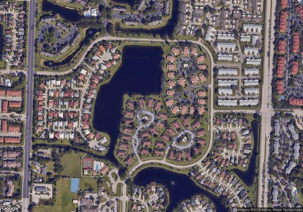
Map
Nearby Homes
- 4289 Willow Pond Cir
- 4255 Willow Pond Cir Unit 3A
- 4371 Willow Pond Rd Unit 5C
- 4327 Willow Brook Cir Unit C
- 4443 Willow Pond Rd Unit 13A
- 4451 Willow Pond Rd Unit 14B
- 4491 Willow Pond Rd Unit B
- 4969 Broadstone Cir
- 4105 Clearview Terrace
- 4085 Clearview Terrace
- 5018 Ellery Terrace
- 4197 N Haverhill Rd Unit 212
- 4561 Discovery Ln Unit 14
- 5114 Ashley River Rd
- 4580 Discovery Ln Unit 23
- 4149 N Haverhill Rd Unit 1619
- 4631 Brook Dr
- 4570 Brook Dr
- 4520 Feivel Rd Unit 49
- 4151 N Haverhill Rd Unit 1505
- 4325 Willow Pond Cir
- 4333 Willow Pond Cir Unit 11-A
- 4333 Willow Pond Cir
- 4329 Willow Pond Circle #10 Cl
- 4329 Willow Pond Cir Unit 10-C
- 4329 Willow Pond Cir
- 4327 Willow Pond Cir Unit 10B
- 4335 Willow Pond Cir Unit 11B
- 4339 Willow Pond Cir Unit B
- 4339 Willow Pond Cir
- 4339 Willow Pond Cir Unit A
- 4339 Willow Pond Cir
- 4339 Willow Pond Cir Unit 11-D
- 4321 Willow Pond Cir Unit D
- 4337 Willow Pond Cir
- 4319 Willow Pond Cir Unit 9-C
- 4319 Willow Pond Cir
- 4315 Willow Pond Cir
- 4317 Willow Pond Cir Unit 9b
- 4317 Willow Pond Cir