Estimated Value: $308,347 - $357,000
3
Beds
1
Bath
972
Sq Ft
$351/Sq Ft
Est. Value
About This Home
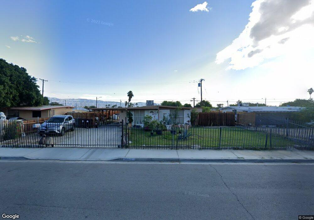
This home is located at 43342 Burr St, Indio, CA 92201 and is currently estimated at $341,087, approximately $350 per square foot. 43342 Burr St is a home located in Riverside County with nearby schools including Carrillo Ranch Elementary School, Colonel Mitchell Paige Middle School, and La Quinta High School.
Ownership History
Date
Name
Owned For
Owner Type
Purchase Details
Closed on
Jun 25, 2004
Sold by
Munoz Ester Segura
Bought by
Munoz Ester Segura
Current Estimated Value
Home Financials for this Owner
Home Financials are based on the most recent Mortgage that was taken out on this home.
Original Mortgage
$92,625
Outstanding Balance
$45,210
Interest Rate
5.87%
Mortgage Type
New Conventional
Estimated Equity
$295,877
Purchase Details
Closed on
Aug 13, 2002
Sold by
Munoz Ester S
Bought by
Munoz Ester Segura
Purchase Details
Closed on
Dec 29, 1993
Sold by
Ruiz Pilar
Bought by
Munoz Maria A and Munoz Ester S
Create a Home Valuation Report for This Property
The Home Valuation Report is an in-depth analysis detailing your home's value as well as a comparison with similar homes in the area
Home Values in the Area
Average Home Value in this Area
Purchase History
| Date | Buyer | Sale Price | Title Company |
|---|---|---|---|
| Munoz Ester Segura | -- | First American Title Co | |
| Munoz Ester Segura | -- | -- | |
| Munoz Maria Angela | -- | -- | |
| Munoz Maria A | -- | -- |
Source: Public Records
Mortgage History
| Date | Status | Borrower | Loan Amount |
|---|---|---|---|
| Open | Munoz Ester Segura | $92,625 |
Source: Public Records
Tax History
| Year | Tax Paid | Tax Assessment Tax Assessment Total Assessment is a certain percentage of the fair market value that is determined by local assessors to be the total taxable value of land and additions on the property. | Land | Improvement |
|---|---|---|---|---|
| 2025 | $1,710 | $80,343 | $25,418 | $54,925 |
| 2023 | $1,710 | $77,226 | $24,432 | $52,794 |
| 2022 | $1,567 | $75,712 | $23,953 | $51,759 |
| 2021 | $1,509 | $74,229 | $23,484 | $50,745 |
| 2020 | $1,470 | $73,469 | $23,244 | $50,225 |
| 2019 | $1,441 | $72,030 | $22,789 | $49,241 |
| 2018 | $1,400 | $70,619 | $22,343 | $48,276 |
| 2017 | $1,399 | $69,235 | $21,905 | $47,330 |
| 2016 | $1,407 | $67,878 | $21,476 | $46,402 |
| 2015 | $1,407 | $66,860 | $21,154 | $45,706 |
| 2014 | $1,334 | $61,000 | $19,000 | $42,000 |
Source: Public Records
Map
Nearby Homes
- 80729 Braemar Ct
- 43774 Royal Saint George Dr
- 80717 Turnberry Ct
- 80612 Declaration Ave
- 80618 Declaration Ave
- 43784 Royal Saint George Dr
- 80669 Freedom Ave
- 43682 Old Troon Ct
- 80601 Declaration Ave
- 80675 Independence Ave
- 80571 Hoylake Dr
- 80578 Hoylake Dr
- 80576 Hoylake Dr
- 43328 N Heritage Palms Dr
- 43548 Kingston Ct
- 43319 N Heritage Palms Dr
- 80556 Hoylake Dr
- 80418 Portobello Dr
- 43347 N Heritage Palms Dr
- 80559 Virginia Ave
- 43314 Burr St
- 43368 Burr St
- 43343 Nairobi Dr
- 43315 Nairobi Dr
- 43369 Nairobi Dr
- 43396 Burr St
- 43286 Burr St
- 43397 Nairobi Dr
- 43287 Nairobi Dr
- 43748 Royal Saint George Dr
- 43750 Royal Saint George Dr
- 43746 Royal Saint George Dr
- 43422 Burr St
- 43752 Royal Saint George Dr
- 43264 Burr St
- 43744 Royal Saint George Dr
- 43423 Nairobi Dr
- 43265 Nairobi Dr
- 43754 Royal Saint George Dr
- 43742 Royal Saint George Dr
Your Personal Tour Guide
Ask me questions while you tour the home.