4335 Highway 68 Turtletown, TN 37391
Estimated Value: $260,000 - $392,216
--
Bed
1
Bath
1,350
Sq Ft
$241/Sq Ft
Est. Value
About This Home
This home is located at 4335 Highway 68, Turtletown, TN 37391 and is currently estimated at $325,054, approximately $240 per square foot. 4335 Highway 68 is a home located in Polk County.
Ownership History
Date
Name
Owned For
Owner Type
Purchase Details
Closed on
Nov 2, 2009
Sold by
Adams Wade
Bought by
Adams Wade
Current Estimated Value
Purchase Details
Closed on
Jun 23, 2009
Sold by
Adams Wade
Bought by
Bice Wanda Faye
Purchase Details
Closed on
Sep 17, 1994
Sold by
Quentin Styles
Bought by
Wade Adams
Purchase Details
Closed on
Feb 29, 1984
Bought by
Styles Quentin and Elmer Vest
Purchase Details
Closed on
Mar 14, 1978
Purchase Details
Closed on
Jan 3, 1900
Create a Home Valuation Report for This Property
The Home Valuation Report is an in-depth analysis detailing your home's value as well as a comparison with similar homes in the area
Home Values in the Area
Average Home Value in this Area
Purchase History
| Date | Buyer | Sale Price | Title Company |
|---|---|---|---|
| Adams Wade | -- | -- | |
| Bice Wanda Faye | $100,000 | -- | |
| Wade Adams | $45,000 | -- | |
| Styles Quentin | -- | -- | |
| -- | -- | -- | |
| -- | -- | -- |
Source: Public Records
Tax History Compared to Growth
Tax History
| Year | Tax Paid | Tax Assessment Tax Assessment Total Assessment is a certain percentage of the fair market value that is determined by local assessors to be the total taxable value of land and additions on the property. | Land | Improvement |
|---|---|---|---|---|
| 2025 | $1,333 | $78,900 | $39,800 | $39,100 |
| 2024 | $1,333 | $78,900 | $39,800 | $39,100 |
| 2023 | $1,333 | $78,900 | $0 | $0 |
| 2022 | $1,414 | $56,300 | $34,275 | $22,025 |
| 2021 | $1,414 | $56,300 | $34,275 | $22,025 |
| 2020 | $1,414 | $56,300 | $34,275 | $22,025 |
| 2019 | $1,248 | $49,675 | $34,275 | $15,400 |
| 2018 | $1,248 | $49,675 | $34,275 | $15,400 |
| 2017 | $1,231 | $48,800 | $33,725 | $15,075 |
| 2016 | $1,172 | $48,800 | $33,725 | $15,075 |
| 2015 | $1,172 | $48,800 | $33,725 | $15,075 |
| 2014 | $1,173 | $48,821 | $0 | $0 |
Source: Public Records
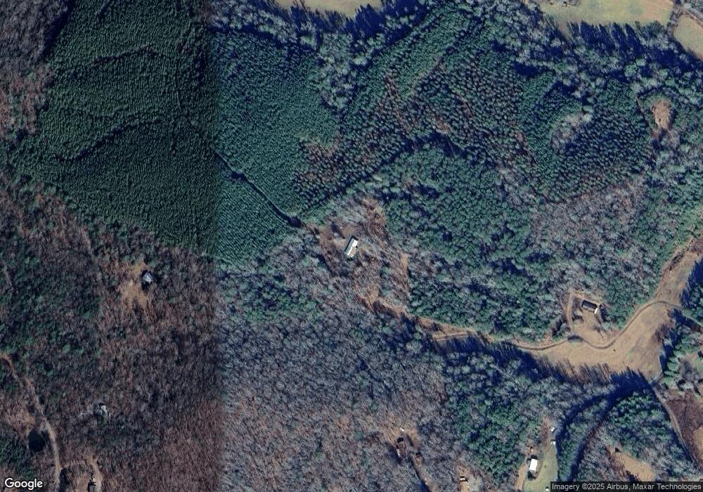
Map
Nearby Homes
- 4245 Tennessee 68
- 153 Vest Rd
- 140 Croft Chapel Rd
- 3970 Tennessee 68
- 133 Megan Trace Ln
- Lot 20-B Sassafras Ridge Rd
- 3892 Highway 68
- 0 Hemlock Ridge Subd Unit 417470
- 954 Croft Chapel Rd
- 197 Turtle Run Rd
- 0000 Kimsey Dairy Rd
- 00000 Kimsey Dairy Rd
- 5077 Tennessee 68
- 5077 Highway 68
- 986 Croft Chapel Rd
- 119 Cantrell Ln
- 115 Blackhawk
- 114 Blackhawk Ln
- 254 Padgett Ln
- 130 Golden Eagle Cir
- 4335 Tennessee 68
- 4225 Tennessee 68
- 4177 Tennessee 68
- 4177 Highway 68
- 226 Malanie Ln
- 4173 Highway 68
- 4173 Tennessee 68
- 133 Vest Rd
- 180 Malanie Ln
- 267 Vest Rd
- 267 Vest Rd
- 4135 Highway 68
- 4127 Highway 68
- 4107 Highway 68
- 4130 Highway 68
- 177 Malanie Ln
- 4097 Highway 68
- 161 Croft Chapel Rd
- 266 Vest Rd
- 4244 Highway 68