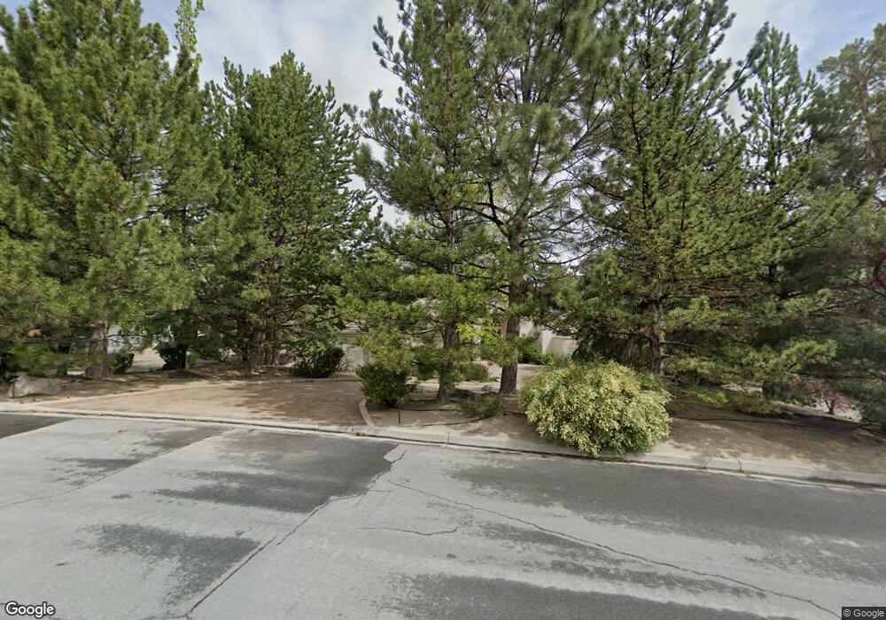
4335 Mountaingate Dr Unit 1 Reno, NV 89519
South Outer Reno NeighborhoodEstimated Value: $1,479,870 - $1,801,000
4
Beds
3
Baths
2,931
Sq Ft
$554/Sq Ft
Est. Value
About This Home
This home is located at 4335 Mountaingate Dr Unit 1, Reno, NV 89519 and is currently estimated at $1,625,218, approximately $554 per square foot. 4335 Mountaingate Dr Unit 1 is a home located in Washoe County with nearby schools including Roy Gomm Elementary School, Darrell C Swope Middle School, and Reno High School.
Ownership History
Date
Name
Owned For
Owner Type
Purchase Details
Closed on
Oct 7, 2020
Sold by
Malvey Steven C and Malvey Rhonda D
Bought by
Malvey Steven C and Malvey Rhonda D
Current Estimated Value
Purchase Details
Closed on
Sep 10, 2001
Sold by
Eddings Lew and Eddings Chris
Bought by
Malvey Steven C and Malvey Rhonda D
Home Financials for this Owner
Home Financials are based on the most recent Mortgage that was taken out on this home.
Original Mortgage
$432,000
Interest Rate
6.91%
Create a Home Valuation Report for This Property
The Home Valuation Report is an in-depth analysis detailing your home's value as well as a comparison with similar homes in the area
Home Values in the Area
Average Home Value in this Area
Purchase History
| Date | Buyer | Sale Price | Title Company |
|---|---|---|---|
| Malvey Steven C | -- | None Available | |
| Malvey Steven C | $540,000 | Stewart Title Northern Nevad |
Source: Public Records
Mortgage History
| Date | Status | Borrower | Loan Amount |
|---|---|---|---|
| Previous Owner | Malvey Steven C | $432,000 | |
| Closed | Malvey Steven C | $54,000 |
Source: Public Records
Tax History Compared to Growth
Tax History
| Year | Tax Paid | Tax Assessment Tax Assessment Total Assessment is a certain percentage of the fair market value that is determined by local assessors to be the total taxable value of land and additions on the property. | Land | Improvement |
|---|---|---|---|---|
| 2025 | $7,443 | $261,608 | $112,000 | $149,608 |
| 2024 | $7,443 | $263,457 | $112,000 | $151,457 |
| 2023 | $7,227 | $249,033 | $105,000 | $144,033 |
| 2022 | $7,018 | $213,358 | $92,750 | $120,608 |
| 2021 | $6,816 | $199,309 | $78,750 | $120,559 |
| 2020 | $6,615 | $200,160 | $78,750 | $121,410 |
| 2019 | $6,421 | $187,899 | $70,000 | $117,899 |
| 2018 | $6,235 | $185,736 | $70,000 | $115,736 |
| 2017 | $6,052 | $186,349 | $70,000 | $116,349 |
| 2016 | $5,901 | $184,222 | $64,750 | $119,472 |
| 2015 | $5,893 | $167,841 | $39,235 | $128,606 |
| 2014 | $5,721 | $155,875 | $30,450 | $125,425 |
| 2013 | -- | $153,645 | $30,450 | $123,195 |
Source: Public Records
Map
Nearby Homes
- 4305 Mountaingate Dr
- 4485 Mountaingate Dr
- 4400 Mountaingate Dr
- 4595 Woodchuck Cir
- 4930 Woodchuck Cir Unit 4
- 4890 Woodchuck Cir Unit 3
- 4820 Woodchuck Cir Unit 2
- 4895 Woodchuck Cir Unit 16
- 4760 Woodchuck Cir Unit 1
- 4825 Woodchuck Cir Unit 17
- 30 Francovich Ct
- 5195 Canyon Dr
- 5045 Hunters Peak Rd Unit 13
- 4840 Keshmiri Place
- 4315 Water Hole Rd
- 7440 W 4th St Unit 7
- 7440 W 4th St Unit 46
- 7440 W 4th St Unit 35
- 4265 Hackamore Dr
- 4283 Water Hole Rd
- 4345 Mountaingate Dr Unit 1
- 4325 Mountaingate Dr
- 4355 Mountaingate Dr
- 4350 Mountaingate Dr
- 4350 Mountaingate Dr Unit Dr
- 4365 Mountaingate Dr
- 4465 Starwood Ct
- 4330 Mountaingate Dr
- 4375 Mountaingate Dr
- 4455 Starwood Ct
- 4370 Mountaingate Dr Unit 1
- 4385 Mountaingate Dr
- 4300 Mountaingate Dr
- 4445 Starwood Ct
- 4295 Juniper Trail
- 4505 Mountaingate Dr
- 4315 Juniper Trail
- 4495 Mountaingate Dr
- 4515 Mountaingate Dr
- 4285 Juniper Trail