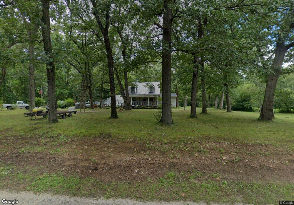
4335 N 1100 E Grovertown, IN 46531
Estimated Value: $179,000 - $262,000
3
Beds
1
Bath
1,344
Sq Ft
$152/Sq Ft
Est. Value
About This Home
This home is located at 4335 N 1100 E, Grovertown, IN 46531 and is currently estimated at $204,576, approximately $152 per square foot. 4335 N 1100 E is a home located in Starke County with nearby schools including Oregon-Davis Elementary School and Oregon-Davis Junior/Senior High School.
Ownership History
Date
Name
Owned For
Owner Type
Purchase Details
Closed on
May 24, 2023
Sold by
Stone Terry Derek
Bought by
Mccallum Brandy N
Current Estimated Value
Purchase Details
Closed on
Jul 9, 2021
Sold by
Stone Carrie L
Bought by
Mccallum Brandy and Stone Terry Derek
Purchase Details
Closed on
Sep 29, 2012
Sold by
Stone Terry Derek and Mccallum Brandy Nicole
Bought by
Stone Terry Derek and Stone Carrie L
Purchase Details
Closed on
Nov 29, 2007
Sold by
Stone Terry D and Stone Brenda Kay
Bought by
Stone Terry Derek and Mccallum Brandy Nicole
Create a Home Valuation Report for This Property
The Home Valuation Report is an in-depth analysis detailing your home's value as well as a comparison with similar homes in the area
Home Values in the Area
Average Home Value in this Area
Purchase History
| Date | Buyer | Sale Price | Title Company |
|---|---|---|---|
| Mccallum Brandy N | -- | None Listed On Document | |
| Mccallum Brandy | -- | None Available | |
| Stone Terry Derek | -- | None Available | |
| Stone Terry Derek | -- | None Available |
Source: Public Records
Tax History Compared to Growth
Tax History
| Year | Tax Paid | Tax Assessment Tax Assessment Total Assessment is a certain percentage of the fair market value that is determined by local assessors to be the total taxable value of land and additions on the property. | Land | Improvement |
|---|---|---|---|---|
| 2024 | $893 | $135,500 | $33,000 | $102,500 |
| 2023 | $859 | $122,500 | $28,600 | $93,900 |
| 2022 | $859 | $113,600 | $25,800 | $87,800 |
| 2021 | $757 | $94,900 | $23,600 | $71,300 |
| 2020 | $736 | $86,000 | $23,400 | $62,600 |
| 2019 | $712 | $88,100 | $23,000 | $65,100 |
| 2018 | $682 | $85,200 | $22,300 | $62,900 |
| 2017 | $606 | $81,700 | $21,400 | $60,300 |
| 2016 | $580 | $79,800 | $21,300 | $58,500 |
| 2014 | $539 | $82,400 | $21,100 | $61,300 |
| 2013 | $506 | $81,400 | $20,400 | $61,000 |
Source: Public Records
Map
Nearby Homes
- 11538 E 400 N
- TBD 500 N
- TBD E 550 N
- 11100 E 300 N
- 3935 N 950 E
- 20510 W 8th Rd
- 7640 Union Rd
- 19547 Lincoln Hwy
- TBD Beech Ave
- Lot 10 Shipping Lane Dr W
- 20906 S Lake Dr
- 00 S Lake Dr
- TBD S Lake Dr
- 20782 S Lake Dr
- 10959 E Tippecanoe Dr
- 11985 E South St
- 7640 Indiana 23
- 7685 N Tecumseh Rd
- 11045 E Iroquois Rd
- 19203 6th Rd