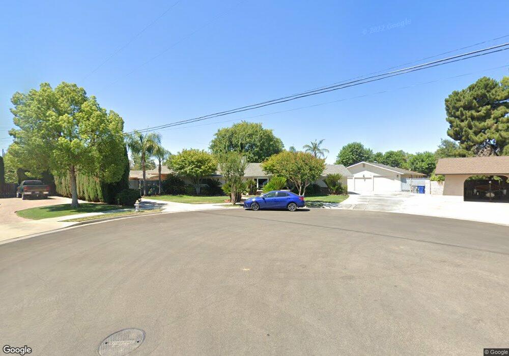
4335 N Carruth Ave Fresno, CA 93705
Bullard NeighborhoodEstimated Value: $526,251 - $615,000
3
Beds
2
Baths
2,664
Sq Ft
$207/Sq Ft
Est. Value
About This Home
This home is located at 4335 N Carruth Ave, Fresno, CA 93705 and is currently estimated at $550,563, approximately $206 per square foot. 4335 N Carruth Ave is a home located in Fresno County with nearby schools including Powers-Ginsburg Elementary, Bullard High School, and Aspen Valley Prep Academy.
Ownership History
Date
Name
Owned For
Owner Type
Purchase Details
Closed on
Sep 21, 1999
Sold by
Garrison James F and Cross Patricia L
Bought by
Morgutia Patricia
Current Estimated Value
Home Financials for this Owner
Home Financials are based on the most recent Mortgage that was taken out on this home.
Original Mortgage
$70,000
Interest Rate
7.97%
Create a Home Valuation Report for This Property
The Home Valuation Report is an in-depth analysis detailing your home's value as well as a comparison with similar homes in the area
Home Values in the Area
Average Home Value in this Area
Purchase History
| Date | Buyer | Sale Price | Title Company |
|---|---|---|---|
| Morgutia Patricia | -- | Fidelity National Title Co |
Source: Public Records
Mortgage History
| Date | Status | Borrower | Loan Amount |
|---|---|---|---|
| Closed | Morgutia Patricia | $70,000 |
Source: Public Records
Tax History Compared to Growth
Tax History
| Year | Tax Paid | Tax Assessment Tax Assessment Total Assessment is a certain percentage of the fair market value that is determined by local assessors to be the total taxable value of land and additions on the property. | Land | Improvement |
|---|---|---|---|---|
| 2025 | $2,529 | $208,656 | $55,481 | $153,175 |
| 2023 | $2,479 | $200,556 | $53,328 | $147,228 |
| 2022 | $2,443 | $196,625 | $52,283 | $144,342 |
| 2021 | $2,375 | $192,770 | $51,258 | $141,512 |
| 2020 | $2,364 | $190,794 | $50,733 | $140,061 |
| 2019 | $2,271 | $187,054 | $49,739 | $137,315 |
| 2018 | $2,220 | $183,387 | $48,764 | $134,623 |
| 2017 | $2,181 | $179,792 | $47,808 | $131,984 |
| 2016 | $2,107 | $176,268 | $46,871 | $129,397 |
| 2015 | $2,074 | $173,621 | $46,167 | $127,454 |
| 2014 | $2,031 | $170,221 | $45,263 | $124,958 |
Source: Public Records
Map
Nearby Homes
- 4246 N Holt Ave
- 4264 N Holt Ave
- 4261 N Holt Ave
- 1028 W Holland Ave
- 4366 N Holt Ave
- 929 W Norwich Ave
- 1027 W Ashcroft Ave
- 4306 N Emerson Ave
- 638 W Rialto Ave
- 4702 N Fruit Ave
- 82 E Sussex Way
- 94 E Sussex Way
- 1245 W Pico Ave
- 1550 W Ashlan Ave Unit 134
- 1550 W Ashlan Ave Unit 229
- 1550 W Ashlan Ave Unit 208
- 1550 W Ashlan Ave Unit 241
- 4481 N Palm Ave
- 1484 W Indianapolis Ave
- 4156 N Warren Ave
- 606 W Swift Ave
- 4351 N Carruth Ave
- 4326 N Delno Ave
- 4336 N Carruth Ave
- 636 W Swift Ave
- 4350 N Delno Ave
- 4352 N Carruth Ave
- 4371 N Carruth Ave
- 4374 N Delno Ave
- 615 W Swift Ave
- 4323 N Fruit Ave
- 4372 N Carruth Ave
- 4313 N Fruit Ave
- 4349 N Fruit Ave
- 635 W Swift Ave
- 4325 N Delno Ave
- 535 W Swift Ave
- 708 W Swift Ave
- 4353 N Delno Ave
- 633 W Holland Ave