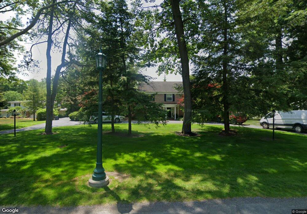
4339 Brookside Rd Ottawa Hills, OH 43615
Estimated Value: $995,577 - $1,136,000
4
Beds
6
Baths
5,691
Sq Ft
$184/Sq Ft
Est. Value
About This Home
This home is located at 4339 Brookside Rd, Ottawa Hills, OH 43615 and is currently estimated at $1,044,526, approximately $183 per square foot. 4339 Brookside Rd is a home located in Lucas County with nearby schools including Ottawa Hills Elementary School, Ottawa Hills High School, and Christ The King School.
Ownership History
Date
Name
Owned For
Owner Type
Purchase Details
Closed on
Nov 4, 2004
Sold by
Mintun Phillip S and Mintun Jane
Bought by
Mintun Jane B
Current Estimated Value
Purchase Details
Closed on
Jun 2, 2003
Sold by
Hammerling Lee W and Hammerling Susan J
Bought by
Mintun Phillip S and Mintun Jane
Home Financials for this Owner
Home Financials are based on the most recent Mortgage that was taken out on this home.
Original Mortgage
$350,000
Interest Rate
3.25%
Mortgage Type
Purchase Money Mortgage
Create a Home Valuation Report for This Property
The Home Valuation Report is an in-depth analysis detailing your home's value as well as a comparison with similar homes in the area
Home Values in the Area
Average Home Value in this Area
Purchase History
| Date | Buyer | Sale Price | Title Company |
|---|---|---|---|
| Mintun Jane B | -- | -- | |
| Mintun Phillip S | $850,000 | Midland |
Source: Public Records
Mortgage History
| Date | Status | Borrower | Loan Amount |
|---|---|---|---|
| Closed | Mintun Phillip S | $350,000 |
Source: Public Records
Tax History
| Year | Tax Paid | Tax Assessment Tax Assessment Total Assessment is a certain percentage of the fair market value that is determined by local assessors to be the total taxable value of land and additions on the property. | Land | Improvement |
|---|---|---|---|---|
| 2025 | -- | $314,195 | $57,855 | $256,340 |
| 2024 | $13,773 | $314,195 | $57,855 | $256,340 |
| 2023 | $22,758 | $236,950 | $47,040 | $189,910 |
| 2022 | $22,982 | $236,950 | $47,040 | $189,910 |
| 2021 | $23,288 | $236,950 | $47,040 | $189,910 |
| 2020 | $25,495 | $233,625 | $45,535 | $188,090 |
| 2019 | $23,169 | $233,625 | $45,535 | $188,090 |
| 2018 | $23,108 | $233,625 | $45,535 | $188,090 |
| 2017 | $23,248 | $219,240 | $40,705 | $178,535 |
| 2016 | $23,036 | $626,400 | $116,300 | $510,100 |
| 2015 | $23,124 | $626,400 | $116,300 | $510,100 |
| 2014 | $22,498 | $219,250 | $40,710 | $178,540 |
| 2013 | $22,498 | $219,250 | $40,710 | $178,540 |
Source: Public Records
Map
Nearby Homes
- 2442 Brookview Dr
- 4309 Brookside Rd
- 2548 Talmadge Rd
- 4104 Brookside Rd
- 4343 W Bancroft St
- 4343 W Bancroft St Unit 3l
- 4343 W Bancroft St Unit 2k
- 4028 Brookside Rd
- 2203 Innisbrook Rd
- 4243 W Bancroft St Unit 205w
- 4517 W Bancroft St Unit 28
- 4519 W Bancroft St Unit 39
- 4521 W Bancroft St Unit 42
- 2130 Richards Rd Unit 2
- 2130 Richards Rd Unit 1
- 4057 Hillandale Rd
- 4705 W Bancroft St
- 2148 Emkay Dr
- 2714 Evergreen Rd
- 4923 Cranston Dr
- 4331 Brookside Rd
- 2412 Brookview Dr
- 4330 Brookside Rd
- 2390 Brookview Dr
- 4318 Brookside Rd
- 4356 Brookside Rd
- 4342 Brookside Rd
- 4383 Brookside Rd
- 2457 Brookview Dr
- 2511 Talmadge Rd
- 2370 Brookview Dr
- 2425 Brookview Dr
- 2464 Talmadge Rd
- 2380 Brookview Dr
- 2529 Talmadge Rd
- 4395 Brookside Rd
- 4250 Brookside Rd
- 4251 Brookside Rd
- 4400 Brookside Rd
- 2560 Inlands Ct
Your Personal Tour Guide
Ask me questions while you tour the home.