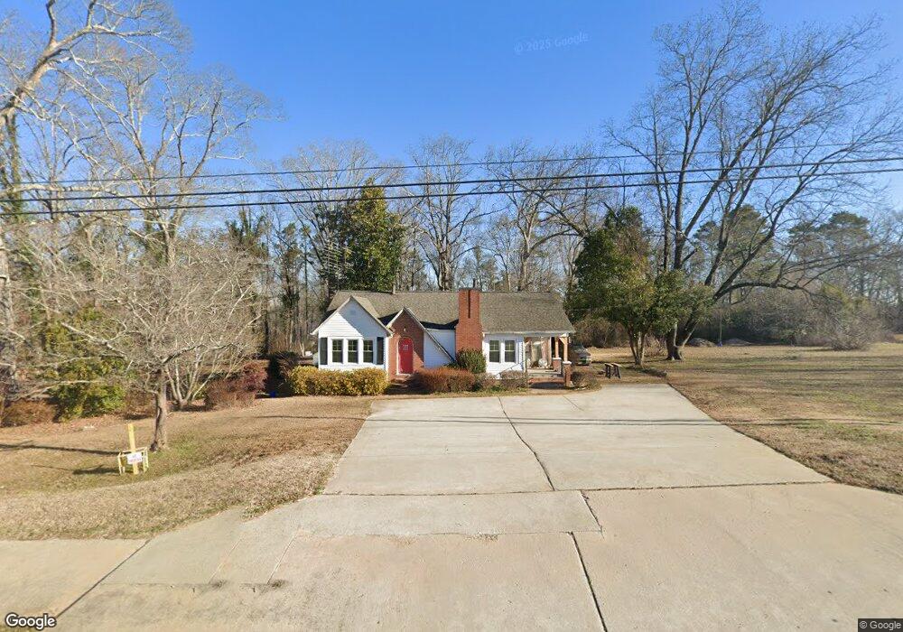
4339 Highway 17 Eastanollee, GA 30538
Estimated Value: $207,047 - $489,000
3
Beds
2
Baths
1,380
Sq Ft
$221/Sq Ft
Est. Value
About This Home
This home is located at 4339 Highway 17, Eastanollee, GA 30538 and is currently estimated at $304,512, approximately $220 per square foot. 4339 Highway 17 is a home with nearby schools including Stephens County High School.
Ownership History
Date
Name
Owned For
Owner Type
Purchase Details
Closed on
Aug 21, 2009
Sold by
Carter Erwin H
Bought by
Carter Linda G
Current Estimated Value
Home Financials for this Owner
Home Financials are based on the most recent Mortgage that was taken out on this home.
Original Mortgage
$106,250
Outstanding Balance
$69,028
Interest Rate
5.14%
Mortgage Type
New Conventional
Estimated Equity
$235,484
Purchase Details
Closed on
May 1, 1999
Bought by
<Buyer Info Not Present>
Purchase Details
Closed on
Apr 1, 1993
Bought by
<Buyer Info Not Present>
Create a Home Valuation Report for This Property
The Home Valuation Report is an in-depth analysis detailing your home's value as well as a comparison with similar homes in the area
Home Values in the Area
Average Home Value in this Area
Purchase History
| Date | Buyer | Sale Price | Title Company |
|---|---|---|---|
| Carter Linda G | $125,000 | -- | |
| <Buyer Info Not Present> | $65,000 | -- | |
| <Buyer Info Not Present> | $30,000 | -- |
Source: Public Records
Mortgage History
| Date | Status | Borrower | Loan Amount |
|---|---|---|---|
| Open | Carter Linda G | $106,250 |
Source: Public Records
Tax History Compared to Growth
Tax History
| Year | Tax Paid | Tax Assessment Tax Assessment Total Assessment is a certain percentage of the fair market value that is determined by local assessors to be the total taxable value of land and additions on the property. | Land | Improvement |
|---|---|---|---|---|
| 2024 | $1,298 | $42,622 | $14,000 | $28,622 |
| 2023 | $1,205 | $40,489 | $14,000 | $26,489 |
| 2022 | $1,102 | $37,020 | $14,000 | $23,020 |
| 2021 | $1,097 | $35,066 | $14,000 | $21,066 |
| 2020 | $1,103 | $34,935 | $14,000 | $20,935 |
| 2019 | $1,108 | $34,935 | $14,000 | $20,935 |
| 2018 | $1,108 | $34,935 | $14,000 | $20,935 |
| 2017 | $1,125 | $34,935 | $14,000 | $20,935 |
| 2016 | $1,108 | $34,934 | $14,000 | $20,934 |
| 2015 | $1,143 | $34,406 | $14,000 | $20,406 |
| 2014 | $1,168 | $34,600 | $14,000 | $20,600 |
| 2013 | -- | $34,600 | $14,000 | $20,600 |
Source: Public Records
Map
Nearby Homes
- 54 Stonewood Forest Rd
- 3089 Georgia 17 Alternate
- 3013 Hwy 17 A
- 151 Rock Creek Rd
- 0 Brookhaven Cir Unit 10616964
- 56 Crawford Manor Dr
- 672 Crawford Cir
- 7 Jottings Dr
- 5.10 ACRES Hwy 123
- 160 Buena Vista Dr
- 17 Pinetree Rd
- 535 Deer Chase
- 919 Deer Chase Rd
- 140 Julia Ct
- 290 Indian Dr
- 136 Julia Ct
- 0 Switchback Run Unit 10437289
- 275 Southern Trace
- 255 Southern Trace
- 189 Julia Ln
- 4387 Highway 17
- 421 Fieldcrest Dr
- 423 Fieldcrest Dr
- 4427 Highway 17
- 4444 Highway 17
- 4444 Georgia 17 Unit 4.3AC
- 4444 Georgia 17
- 4451 Georgia 17 Unit 30-35-pt29
- 130 Fieldcrest Dr
- 4227 Highway 17
- 4227 Georgia 17
- 4451 Highway 17
- 4451 Highway 17
- 4089 Georgia 17
- 106 Fieldcrest Dr
- 2665 Georgia 17
- 2711 Georgia 17
- 3417 Georgia 17
- 3842 Georgia 17
- 3814 Georgia 17