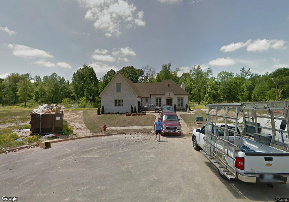
4339 Robinson Loop E Olive Branch, MS 38654
Pleasant Hill NeighborhoodEstimated Value: $441,914 - $545,000
4
Beds
--
Bath
3,368
Sq Ft
$144/Sq Ft
Est. Value
About This Home
This home is located at 4339 Robinson Loop E, Olive Branch, MS 38654 and is currently estimated at $486,229, approximately $144 per square foot. 4339 Robinson Loop E is a home located in DeSoto County with nearby schools including Pleasant Hill Elementary School, DeSoto Central Middle School, and DeSoto Central High School.
Ownership History
Date
Name
Owned For
Owner Type
Purchase Details
Closed on
Dec 3, 2013
Sold by
Pleasant Hill Land & Development Co Inc
Bought by
Haltom Saxton and Haltom Jessica
Current Estimated Value
Home Financials for this Owner
Home Financials are based on the most recent Mortgage that was taken out on this home.
Original Mortgage
$245,908
Interest Rate
4.19%
Mortgage Type
Unknown
Create a Home Valuation Report for This Property
The Home Valuation Report is an in-depth analysis detailing your home's value as well as a comparison with similar homes in the area
Home Values in the Area
Average Home Value in this Area
Purchase History
| Date | Buyer | Sale Price | Title Company |
|---|---|---|---|
| Haltom Saxton | -- | None Available |
Source: Public Records
Mortgage History
| Date | Status | Borrower | Loan Amount |
|---|---|---|---|
| Closed | Haltom Saxton | $245,908 | |
| Closed | Haltom Saxton | $600,000 |
Source: Public Records
Tax History
| Year | Tax Paid | Tax Assessment Tax Assessment Total Assessment is a certain percentage of the fair market value that is determined by local assessors to be the total taxable value of land and additions on the property. | Land | Improvement |
|---|---|---|---|---|
| 2025 | $4,123 | $38,195 | $5,000 | $33,195 |
| 2024 | $3,530 | $28,064 | $5,000 | $23,064 |
| 2023 | $3,530 | $28,064 | $0 | $0 |
| 2022 | $3,530 | $28,064 | $5,000 | $23,064 |
| 2021 | $3,530 | $28,064 | $5,000 | $23,064 |
| 2020 | $2,320 | $26,201 | $5,000 | $21,201 |
| 2019 | $2,320 | $26,201 | $5,000 | $21,201 |
| 2017 | $2,300 | $46,630 | $25,815 | $20,815 |
| 2016 | $2,300 | $25,815 | $5,000 | $20,815 |
| 2015 | $2,600 | $46,630 | $25,815 | $20,815 |
| 2014 | $755 | $7,500 | $0 | $0 |
| 2013 | $572 | $5,625 | $0 | $0 |
Source: Public Records
Map
Nearby Homes
- 4342 Robinson Loop E
- 4245 Lundy Bend W
- 4183 Robinson Crossing
- 179 Hayes Cove
- 4435 Parish Row
- 4426 Macon Cove
- 4291 S Bolivar Trail
- 4285 S Bolivar Trail
- 4223 S Bolivar Trail
- 4209 S Bolivar Trail
- 4087 Jessica Dr
- 4912 Jessica Dr
- 3929 Summer Pointe Dr
- 5137 Meadow Pointe Dr
- 3218 Wellbrook Ln
- 4481 Summers Place Dr
- 5035 Wethersfield Blvd
- 4703 W Dublin
- 3191 Rosebrook Cove
- 0 Summers Creek Rd
- 4347 Robinson Loop E
- 4338 Robinson Loop E
- 110 Robinson Loop
- 4357 Robinson Loop E
- 4369 Robinson Loop E
- 4356 Robinson Loop E
- 4372 Robinson Loop E
- 4383 Robinson Loop E
- 4207 Woodgate Ln
- 4403 Robinson Loop E
- 4200 Woodgate Ln
- 4411 Robinson Loop E
- 4410 Robinson Loop E
- 4210 Woodgate Ln
- 4425 Robinson Loop E
- 4283 Lundy Bend W
- 4271 Lundy Bend W
- 4291 Lundy Bend E
- 4420 Robinson Loop E
- 4259 Lundy Bend W
Your Personal Tour Guide
Ask me questions while you tour the home.