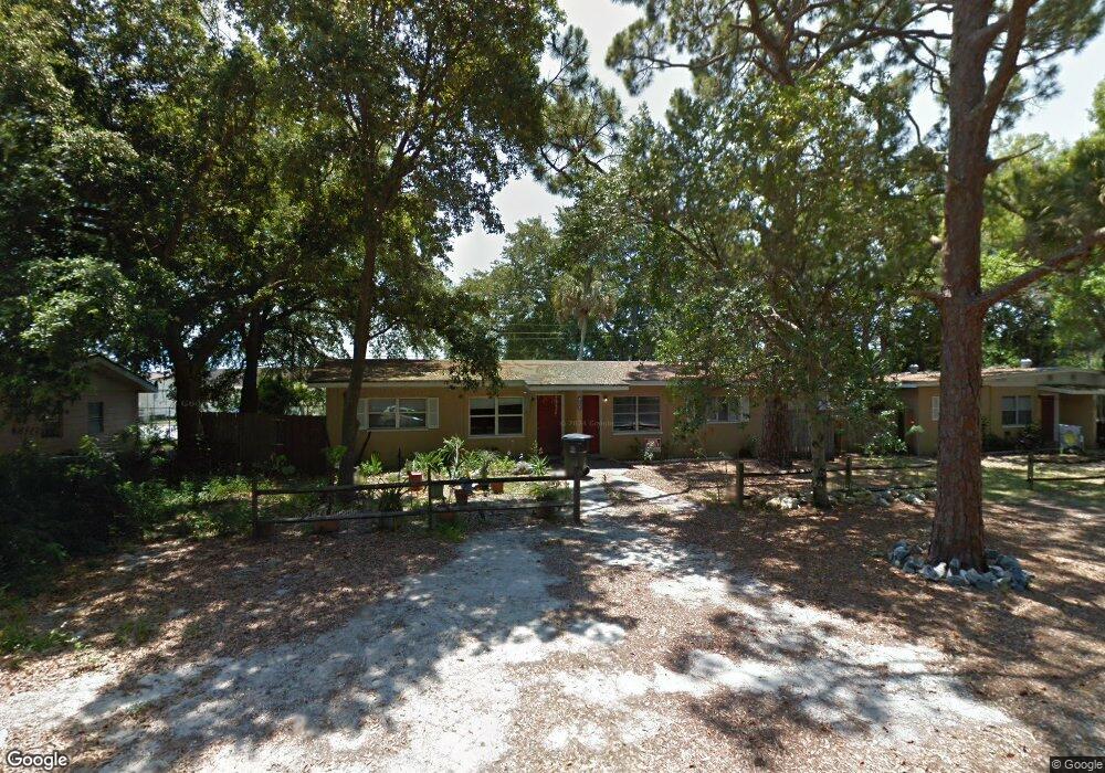
434 N Dixie Ave Titusville, FL 32796
Estimated Value: $226,000 - $338,000
--
Bed
2
Baths
1,456
Sq Ft
$177/Sq Ft
Est. Value
About This Home
This home is located at 434 N Dixie Ave, Titusville, FL 32796 and is currently estimated at $258,146, approximately $177 per square foot. 434 N Dixie Ave is a home located in Brevard County with nearby schools including Mims Elementary School, James Madison Middle School, and Astronaut High School.
Ownership History
Date
Name
Owned For
Owner Type
Purchase Details
Closed on
Feb 1, 2016
Bought by
Ellsworth Christopher
Current Estimated Value
Purchase Details
Closed on
Aug 29, 2014
Sold by
Perry Richard K
Bought by
Nations Holdings Llc
Purchase Details
Closed on
Dec 20, 2001
Sold by
Valdyke Toni N
Bought by
Perry Richard
Home Financials for this Owner
Home Financials are based on the most recent Mortgage that was taken out on this home.
Original Mortgage
$41,400
Interest Rate
6.72%
Create a Home Valuation Report for This Property
The Home Valuation Report is an in-depth analysis detailing your home's value as well as a comparison with similar homes in the area
Home Values in the Area
Average Home Value in this Area
Purchase History
| Date | Buyer | Sale Price | Title Company |
|---|---|---|---|
| Ellsworth Christopher | $100 | -- | |
| Nations Holdings Llc | -- | None Available | |
| Perry Richard | $46,000 | -- |
Source: Public Records
Mortgage History
| Date | Status | Borrower | Loan Amount |
|---|---|---|---|
| Previous Owner | Perry Richard | $41,400 |
Source: Public Records
Tax History Compared to Growth
Tax History
| Year | Tax Paid | Tax Assessment Tax Assessment Total Assessment is a certain percentage of the fair market value that is determined by local assessors to be the total taxable value of land and additions on the property. | Land | Improvement |
|---|---|---|---|---|
| 2025 | $2,524 | $168,000 | -- | -- |
| 2024 | $2,227 | $168,000 | -- | -- |
| 2023 | $2,227 | $134,400 | $32,000 | $102,400 |
| 2022 | $1,873 | $105,000 | $0 | $0 |
| 2021 | $1,722 | $79,520 | $18,000 | $61,520 |
| 2020 | $1,609 | $72,290 | $14,300 | $57,990 |
| 2019 | $1,620 | $69,400 | $11,100 | $58,300 |
| 2018 | $1,594 | $66,000 | $0 | $66,000 |
| 2017 | $1,578 | $64,000 | $0 | $64,000 |
| 2016 | $1,279 | $60,000 | $0 | $0 |
| 2015 | $1,033 | $45,000 | $10,600 | $34,400 |
| 2014 | $993 | $43,000 | $10,600 | $32,400 |
Source: Public Records
Map
Nearby Homes
- 424 Lenore Ave
- 1636 Violet Ave
- 7.26 Route 1
- 1615 Violet Ave
- 1539 Violet Ave
- Tbd N Washington Ave
- 0000 Unknown N Park Ave
- 2015 Malinda Ln
- 502 Vaughn St
- 610 East Ct
- 0000 Buffalo Rd
- 1115 Jones St
- 614 West Ct
- 105 McNeela Dr Unit 105
- 130 Forrell Ave
- 2135 Mayfair Way Unit Lot 71
- 2135 Mayfair Way Unit 84
- 2135 Mayfair Way Unit 98
- 1713 N Eden Cir
- 2196 Pamela St
- 434 N Dixie Ave Unit A
- 434 N Dixie Ave
- 434 N Dixie Ave
- 434 N Dixie Ave
- 434 N Dixie Ave Unit B
- 1621 Poe St
- 440 N Dixie Ave Unit SFR
- 425 Lenore Ave
- 435 Lenore Ave
- 419 Lenore Ave
- 432 N Dixie Ave
- 432 N Dixie Ave Unit B
- 505 Lenore Ave
- 413 Lenore Ave
- 511 Lenore Ave
- 430 Lenore Ave
- 434 Lenore Ave
- 414 Lenore Ave
- 333 N Dixie Ave