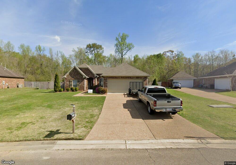
434 Pecan Cir Brandon, MS 39042
Estimated Value: $243,000 - $251,000
3
Beds
2
Baths
1,799
Sq Ft
$137/Sq Ft
Est. Value
About This Home
This home is located at 434 Pecan Cir, Brandon, MS 39042 and is currently estimated at $246,682, approximately $137 per square foot. 434 Pecan Cir is a home located in Rankin County with nearby schools including Rouse Elementary School, Brandon Elementary School, and Stonebridge Elementary School.
Ownership History
Date
Name
Owned For
Owner Type
Purchase Details
Closed on
Oct 1, 2025
Sold by
Randy Michael Mcdonald Living Trust and Mcdonald Randy Michael
Bought by
Welch Nicholas and Welch Abby
Current Estimated Value
Home Financials for this Owner
Home Financials are based on the most recent Mortgage that was taken out on this home.
Original Mortgage
$164,633
Outstanding Balance
$164,191
Interest Rate
6.58%
Mortgage Type
FHA
Estimated Equity
$82,491
Purchase Details
Closed on
Apr 7, 2022
Sold by
Mcdonald Randy
Bought by
Randy Michael Mcdonald Living Trust
Purchase Details
Closed on
Dec 7, 2012
Sold by
Miss-Lou Homes Llc
Bought by
Mcdonald Randy M
Home Financials for this Owner
Home Financials are based on the most recent Mortgage that was taken out on this home.
Original Mortgage
$150,228
Interest Rate
3.44%
Create a Home Valuation Report for This Property
The Home Valuation Report is an in-depth analysis detailing your home's value as well as a comparison with similar homes in the area
Home Values in the Area
Average Home Value in this Area
Purchase History
| Date | Buyer | Sale Price | Title Company |
|---|---|---|---|
| Welch Nicholas | -- | None Listed On Document | |
| Randy Michael Mcdonald Living Trust | -- | None Listed On Document | |
| Randy Michael Mcdonald Living Trust | -- | None Listed On Document | |
| Mcdonald Randy M | -- | Luckett Land Title, Inc. |
Source: Public Records
Mortgage History
| Date | Status | Borrower | Loan Amount |
|---|---|---|---|
| Open | Welch Nicholas | $164,633 | |
| Previous Owner | Mcdonald Randy M | $150,228 |
Source: Public Records
Tax History
| Year | Tax Paid | Tax Assessment Tax Assessment Total Assessment is a certain percentage of the fair market value that is determined by local assessors to be the total taxable value of land and additions on the property. | Land | Improvement |
|---|---|---|---|---|
| 2025 | $3,378 | $25,520 | $0 | $0 |
| 2024 | $3,331 | $25,520 | $0 | $0 |
| 2023 | $3,127 | $23,957 | $0 | $0 |
| 2022 | $3,091 | $23,957 | $0 | $0 |
| 2021 | $3,091 | $23,957 | $0 | $0 |
| 2020 | $3,091 | $23,957 | $0 | $0 |
| 2019 | $2,836 | $14,344 | $0 | $0 |
| 2018 | $1,562 | $14,344 | $0 | $0 |
| 2017 | $1,562 | $14,344 | $0 | $0 |
| 2016 | $1,388 | $13,977 | $0 | $0 |
| 2015 | $1,388 | $13,977 | $0 | $0 |
| 2014 | $1,359 | $13,977 | $0 | $0 |
| 2013 | $1,359 | $13,977 | $0 | $0 |
Source: Public Records
Map
Nearby Homes
- 505 Stuart Crossing
- 407 Thorngate Dr
- 919 Filmore Dr
- 60 Eastgate Dr
- 614 Spencer Dr
- 122 Pavilion Dr
- 0001 Old Highway 471
- 300 Peachtree St
- 402 Treeline Dr
- 0 Thorngate Dr
- 0 Mississippi 471 Unit 4129332
- 0 Mississippi 471 Unit 4120443
- 213 Iron Horse Station
- 0 Paschal Hill Rd Unit 4041913
- 23 Dawnview Dr
- 234 Terrace Dr
- 107 Speers Valley Rd
- 637 Wild Horse Ln
- 36 Pebble Hill Dr
- 0 Hwy 471 Unit 4145084
Your Personal Tour Guide
Ask me questions while you tour the home.