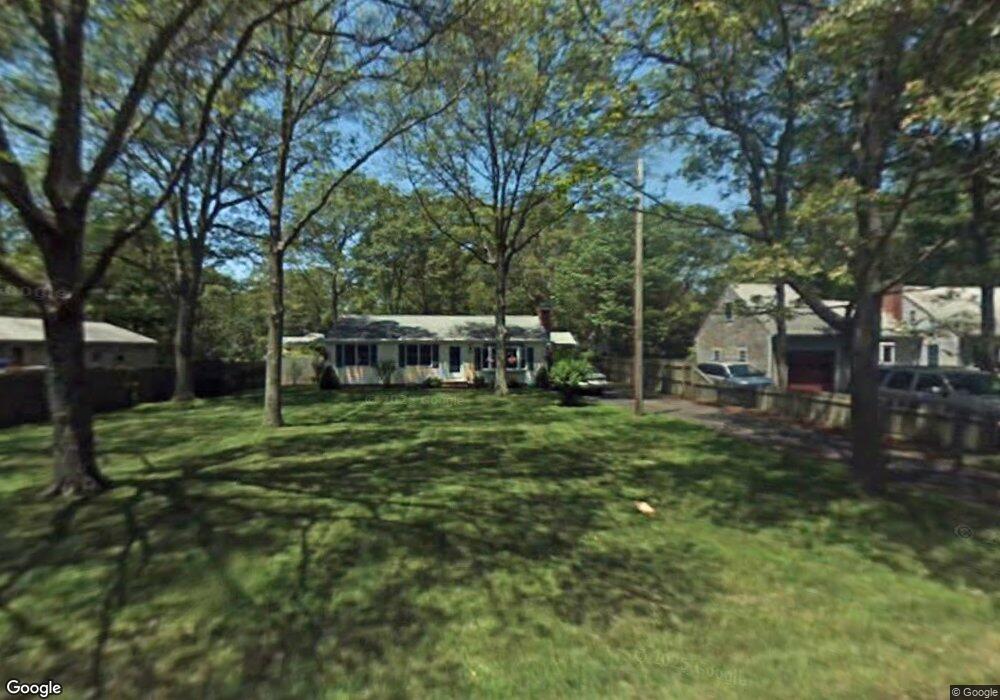
434 Sandwich Rd East Falmouth, MA 02536
Hatchville NeighborhoodEstimated Value: $423,000 - $529,000
3
Beds
1
Bath
1,008
Sq Ft
$473/Sq Ft
Est. Value
About This Home
This home is located at 434 Sandwich Rd, East Falmouth, MA 02536 and is currently estimated at $476,711, approximately $472 per square foot. 434 Sandwich Rd is a home located in Barnstable County with nearby schools including Mullen-Hall School, Morse Pond School, and Lawrence School.
Ownership History
Date
Name
Owned For
Owner Type
Purchase Details
Closed on
Aug 27, 2025
Sold by
Brand Jr John R Est and Thompson
Bought by
Thompson Lauri M and Seale Deborah M
Current Estimated Value
Purchase Details
Closed on
Jan 1, 1970
Bought by
Brand John R and Janet Marie
Create a Home Valuation Report for This Property
The Home Valuation Report is an in-depth analysis detailing your home's value as well as a comparison with similar homes in the area
Home Values in the Area
Average Home Value in this Area
Purchase History
| Date | Buyer | Sale Price | Title Company |
|---|---|---|---|
| Thompson Lauri M | $450,000 | -- | |
| Thompson Lauri M | $450,000 | -- | |
| Brand John R | -- | -- |
Source: Public Records
Mortgage History
| Date | Status | Borrower | Loan Amount |
|---|---|---|---|
| Previous Owner | Brand John R | $50,000 | |
| Previous Owner | Brand John R | $40,000 | |
| Previous Owner | Brand John R | $20,000 |
Source: Public Records
Tax History Compared to Growth
Tax History
| Year | Tax Paid | Tax Assessment Tax Assessment Total Assessment is a certain percentage of the fair market value that is determined by local assessors to be the total taxable value of land and additions on the property. | Land | Improvement |
|---|---|---|---|---|
| 2025 | $2,580 | $439,600 | $144,400 | $295,200 |
| 2024 | $2,554 | $406,700 | $136,800 | $269,900 |
| 2023 | $2,546 | $367,900 | $136,800 | $231,100 |
| 2022 | $2,410 | $299,400 | $103,100 | $196,300 |
| 2021 | $2,325 | $273,500 | $98,600 | $174,900 |
| 2020 | $2,273 | $264,600 | $89,700 | $174,900 |
| 2019 | $2,166 | $253,000 | $89,700 | $163,300 |
| 2018 | $1,788 | $207,900 | $89,700 | $118,200 |
| 2017 | $1,739 | $203,900 | $89,700 | $114,200 |
| 2016 | $1,707 | $203,900 | $89,700 | $114,200 |
| 2015 | $1,670 | $203,900 | $89,700 | $114,200 |
| 2014 | $1,693 | $207,700 | $94,400 | $113,300 |
Source: Public Records
Map
Nearby Homes
- 17 Pinewood Dr
- 68 Deepwood Dr
- 70 Meredith Dr
- 25 Harris Hill Rd
- 100 Tanglewood Dr
- 66 Braxton Rd
- 32 Jamie Ln
- 273 Sandwich Rd
- 590 Sandwich Rd
- 59 Whitecaps Dr
- 149 Brick Kiln Rd
- 12 Rock Hollow Dr
- 33 John Parker Rd
- 130 Old Barnstable Rd
- 35 Old Barnstable Rd
- 12 Beach Plum Path
- 3 Viber Ln
- 49 Broken Bow Ln
- 25 Percival Rd
- 5 Greenwood St
- 440 Sandwich Rd
- 11 Greenwood St
- 444 Sandwich Rd
- 18 Deepwood Dr
- 12 Deepwood Dr
- 435 Sandwich Rd
- 22 Deepwood Dr
- 17 Greenwood St
- 424 Sandwich Rd
- 10 Greenwood St
- 429 Sandwich Rd
- 441 Sandwich Rd
- 4 Deepwood Dr
- 24 Deepwood Dr
- 425 Sandwich Rd
- 447 Sandwich Rd
- 447 Sandwich Rd Unit 447
- 18 Greenwood St
- 21 Greenwood St