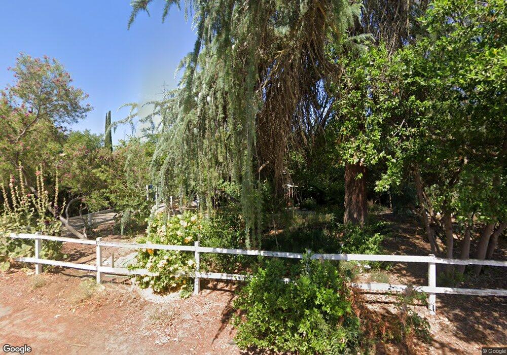
4343 N Thorne Ave Fresno, CA 93704
Bullard NeighborhoodEstimated Value: $369,000 - $472,000
2
Beds
1
Bath
1,433
Sq Ft
$287/Sq Ft
Est. Value
About This Home
This home is located at 4343 N Thorne Ave, Fresno, CA 93704 and is currently estimated at $411,856, approximately $287 per square foot. 4343 N Thorne Ave is a home located in Fresno County with nearby schools including Powers-Ginsburg Elementary, Bullard High School, and Endeavor Charter.
Ownership History
Date
Name
Owned For
Owner Type
Purchase Details
Closed on
May 25, 2009
Sold by
Lewis Mark L and Lewis Sherri
Bought by
Stover Denise L
Current Estimated Value
Home Financials for this Owner
Home Financials are based on the most recent Mortgage that was taken out on this home.
Original Mortgage
$184,000
Outstanding Balance
$116,130
Interest Rate
4.83%
Mortgage Type
Purchase Money Mortgage
Estimated Equity
$295,726
Create a Home Valuation Report for This Property
The Home Valuation Report is an in-depth analysis detailing your home's value as well as a comparison with similar homes in the area
Home Values in the Area
Average Home Value in this Area
Purchase History
| Date | Buyer | Sale Price | Title Company |
|---|---|---|---|
| Stover Denise L | $249,500 | Stewart Title Of California |
Source: Public Records
Mortgage History
| Date | Status | Borrower | Loan Amount |
|---|---|---|---|
| Open | Stover Denise L | $184,000 |
Source: Public Records
Tax History Compared to Growth
Tax History
| Year | Tax Paid | Tax Assessment Tax Assessment Total Assessment is a certain percentage of the fair market value that is determined by local assessors to be the total taxable value of land and additions on the property. | Land | Improvement |
|---|---|---|---|---|
| 2025 | $3,680 | $309,048 | $64,380 | $244,668 |
| 2023 | $3,608 | $297,049 | $61,881 | $235,168 |
| 2022 | $3,557 | $291,225 | $60,668 | $230,557 |
| 2021 | $3,457 | $285,516 | $59,479 | $226,037 |
| 2020 | $3,442 | $282,590 | $58,870 | $223,720 |
| 2019 | $3,306 | $277,050 | $57,716 | $219,334 |
| 2018 | $3,232 | $271,619 | $56,585 | $215,034 |
| 2017 | $3,175 | $266,294 | $55,476 | $210,818 |
| 2016 | $3,068 | $261,074 | $54,389 | $206,685 |
| 2015 | $3,020 | $257,154 | $53,573 | $203,581 |
| 2014 | $2,960 | $252,118 | $52,524 | $199,594 |
Source: Public Records
Map
Nearby Homes
- 4481 N Palm Ave
- 4480 N Palm Ave
- 82 E Sussex Way
- 94 E Sussex Way
- 4666 N Harrison Ave
- 336 E Gettysburg Ave
- 4246 N Holt Ave
- 4702 N Fruit Ave
- 4264 N Holt Ave
- 4734 N Harrison Ave
- 4261 N Holt Ave
- 4175 N Van Ness Blvd
- 638 W Rialto Ave
- 3932 N Safford Ave
- 929 W Norwich Ave
- 1028 W Holland Ave
- 1027 W Ashcroft Ave
- 4822 N Safford Ave
- 4366 N Holt Ave
- 4689 N Van Ness Blvd
- 4333 N Thorne Ave
- 4371 N Thorne Ave
- 4328 N Thorne Ave
- 4372 N Thorne Ave
- 120 W Swift Ave
- 4387 N Thorne Ave
- 7 E Swift Ave
- 131 W Holland Ave
- 12 E Holland Ave
- 180 W Swift Ave
- 4352 N Thorne Ave
- 4287 N Thorne Ave
- 35 E Swift Ave
- 209 W Holland Ave
- 119 W Swift Ave
- 12 E Swift Ave
- 62 E Holland Ave
- 4352 N Arthur Ave
- 4415 N Thorne Ave
- 4332 N Arthur Ave
