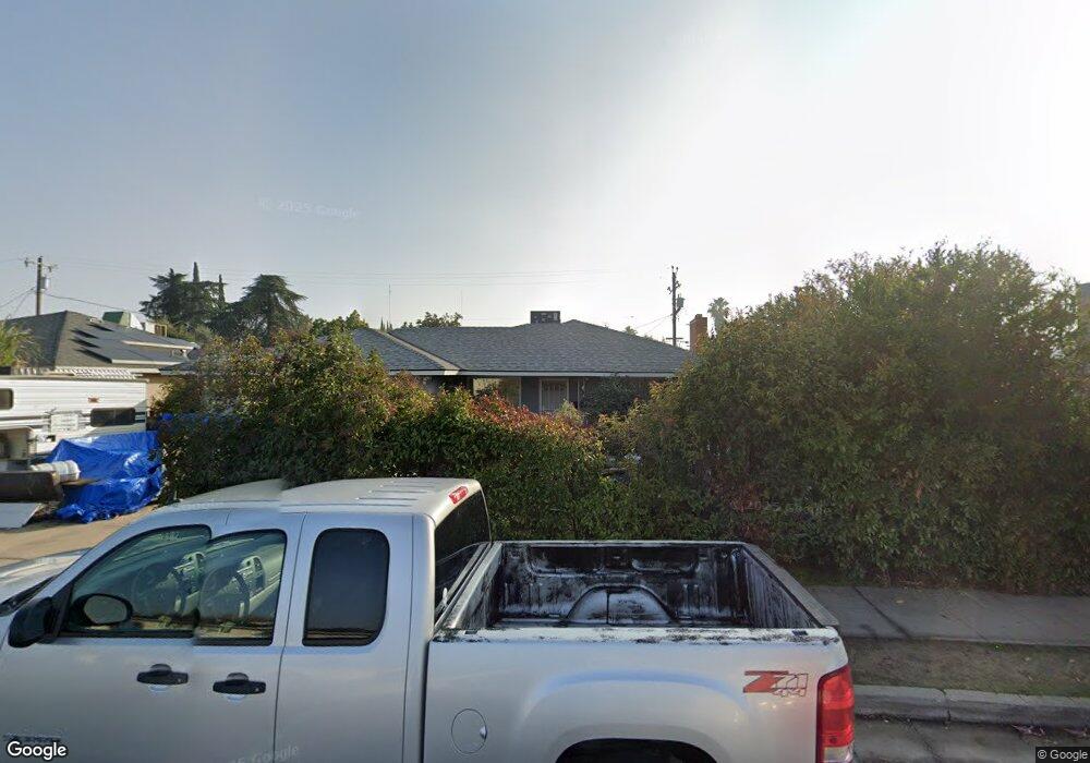
4344 E Clinton Ave Fresno, CA 93703
McLane NeighborhoodEstimated Value: $286,158 - $327,000
3
Beds
2
Baths
1,273
Sq Ft
$243/Sq Ft
Est. Value
About This Home
This home is located at 4344 E Clinton Ave, Fresno, CA 93703 and is currently estimated at $308,719, approximately $242 per square foot. 4344 E Clinton Ave is a home located in Fresno County with nearby schools including Norseman Elementary School, Scandinavian Middle School, and Mclane High School.
Ownership History
Date
Name
Owned For
Owner Type
Purchase Details
Closed on
Jul 1, 2020
Sold by
Norma Delgado Hallmark Living Trust and Hallmar Jack Lyndon
Bought by
Hallmark Joe E
Current Estimated Value
Purchase Details
Closed on
Dec 19, 2007
Sold by
Hallmark Norma
Bought by
The Norma Delgado Hallmark Living Trust and Hallmark Norma Delgado
Create a Home Valuation Report for This Property
The Home Valuation Report is an in-depth analysis detailing your home's value as well as a comparison with similar homes in the area
Home Values in the Area
Average Home Value in this Area
Purchase History
| Date | Buyer | Sale Price | Title Company |
|---|---|---|---|
| Hallmark Joe E | -- | None Listed On Document | |
| The Norma Delgado Hallmark Living Trust | -- | None Available |
Source: Public Records
Tax History
| Year | Tax Paid | Tax Assessment Tax Assessment Total Assessment is a certain percentage of the fair market value that is determined by local assessors to be the total taxable value of land and additions on the property. | Land | Improvement |
|---|---|---|---|---|
| 2025 | $1,323 | $103,437 | $39,030 | $64,407 |
| 2023 | $1,272 | $99,422 | $37,515 | $61,907 |
| 2022 | $1,231 | $97,474 | $36,780 | $60,694 |
| 2021 | $1,198 | $95,563 | $36,059 | $59,504 |
| 2020 | $1,193 | $94,584 | $35,690 | $58,894 |
| 2019 | $1,147 | $92,731 | $34,991 | $57,740 |
| 2018 | $1,037 | $90,913 | $34,305 | $56,608 |
| 2017 | $1,018 | $89,132 | $33,633 | $55,499 |
| 2016 | $983 | $87,385 | $32,974 | $54,411 |
| 2015 | $967 | $86,073 | $32,479 | $53,594 |
| 2014 | $948 | $84,388 | $31,843 | $52,545 |
Source: Public Records
Map
Nearby Homes
- 2746 N Cedar Ave
- 4560 E Cambridge Ave
- 4597 E Cambridge Ave
- 2146 N Maple Ave
- 4318 E Fairfax Ave
- 2004 N Maple Ave
- 4137 E Cornell Ave
- 3938 E Michigan Ave
- 4536 E Simpson Ave
- 4632 E Princeton Ave
- 3812 E Clinton Ave
- 3846 Maywood Dr S
- 4715 E Harvard Ave
- 4704 E Simpson Ave
- 3474 E Terrace Ave
- 3945 E Cortland Ave
- 3493 E Joyce Dr
- 4115 E Dayton Ave
- 1609 N 6th St
- 3442 E Weldon Ave
- 4404 E Clinton Ave
- 4345 E Union Ave
- 4420 E Clinton Ave
- 4405 E Union Ave
- 4335 E Union Ave
- 2403 N Rowell Ave
- 4325 E Union Ave
- 4315 E Clinton Ave
- 4426 E Clinton Ave
- 4425 E Union Ave
- 4434 E Clinton Ave
- 2423 N Rowell Ave
- 4305 E Union Ave
- 4305 E Union Ave Unit B
- 4305 E Union Ave
- 4435 E Union Ave
- 2246 N Rowell Ave
- 4431 E Clinton Ave
- 4444 E Clinton Ave
- 2441 N Rowell Ave
Your Personal Tour Guide
Ask me questions while you tour the home.