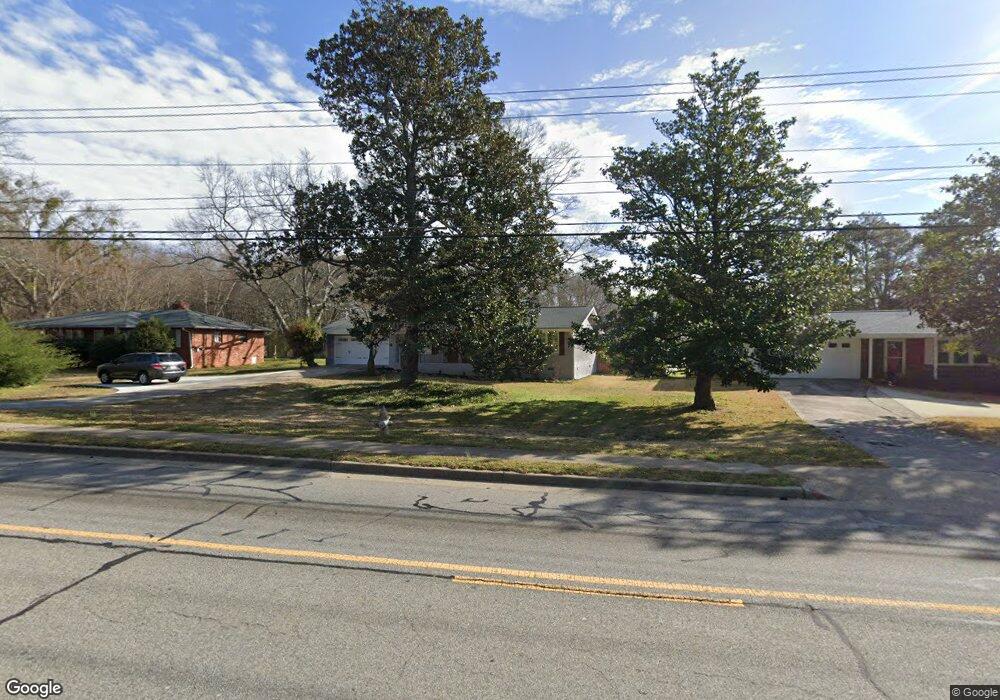
4345 Floyd Rd Austell, GA 30106
Estimated Value: $286,000 - $361,000
3
Beds
2
Baths
1,384
Sq Ft
$232/Sq Ft
Est. Value
About This Home
This home is located at 4345 Floyd Rd, Austell, GA 30106 and is currently estimated at $321,054, approximately $231 per square foot. 4345 Floyd Rd is a home located in Cobb County with nearby schools including Russell Elementary School, Floyd Middle School, and South Cobb High School.
Ownership History
Date
Name
Owned For
Owner Type
Purchase Details
Closed on
Jun 3, 2024
Sold by
Andro Properties Llc
Bought by
Escott James J and Simmons Camryn R
Current Estimated Value
Home Financials for this Owner
Home Financials are based on the most recent Mortgage that was taken out on this home.
Original Mortgage
$339,500
Outstanding Balance
$334,996
Interest Rate
7.17%
Mortgage Type
New Conventional
Estimated Equity
-$13,942
Purchase Details
Closed on
Jun 18, 2021
Sold by
Re Property Holdings Llc
Bought by
Andro Properties Llc
Create a Home Valuation Report for This Property
The Home Valuation Report is an in-depth analysis detailing your home's value as well as a comparison with similar homes in the area
Home Values in the Area
Average Home Value in this Area
Purchase History
| Date | Buyer | Sale Price | Title Company |
|---|---|---|---|
| Escott James J | $350,000 | None Listed On Document | |
| Andro Properties Llc | $93,000 | None Available | |
| Re Property Holdings Llc | $77,000 | None Available |
Source: Public Records
Mortgage History
| Date | Status | Borrower | Loan Amount |
|---|---|---|---|
| Open | Escott James J | $339,500 |
Source: Public Records
Tax History
| Year | Tax Paid | Tax Assessment Tax Assessment Total Assessment is a certain percentage of the fair market value that is determined by local assessors to be the total taxable value of land and additions on the property. | Land | Improvement |
|---|---|---|---|---|
| 2025 | $3,260 | $138,540 | $23,276 | $115,264 |
| 2024 | $1,886 | $62,568 | $23,276 | $39,292 |
| 2023 | $1,577 | $52,304 | $25,724 | $26,580 |
Source: Public Records
Map
Nearby Homes
- 1252 Parktown Dr
- 1114 Hibiscus Way SW
- 936 Tyrell Dr
- 960 Verlander Trail
- 4505 Brookwood Dr SW
- 4581 Moray Dr
- Kaufman Plan at Wilkins Walk
- Brooks Plan at Wilkins Walk
- 4589 Moray Dr
- 4573 Moray Dr
- 4201 Regal Ridge Rd
- 4601 Ethel Springs Trail SW
- 4161 Hicks Rd
- 4740 Electric Ave SW
- 4690 Glore Rd SW
- 8009 Haven Springs Trace
- 8021 Haven Springs Trace
- 8012 Haven Springs Trace
- 8029 Haven Springs Trace
- 8025 Haven Springs Trace
- 4349 Floyd Rd
- 4339 Floyd Rd
- 1050 Bates Rd
- 4331 Floyd Rd
- 4340 Floyd Rd
- 0 Anderson Mill Rd
- 0 Anderson Mill Rd Unit 7573399
- 4321 Floyd Rd
- 4305 Cades Cove Dr
- 1143 Anderson Mill Rd
- 4303 Cades Cove Dr
- 4301 Cades Cove Dr
- 4321 Black Blvd
- 4405 Floyd Rd SW
- 4329 Black Blvd
- 4299 Cades Cove Dr
- 1000 Bates Rd
- 4297 Cades Cove Dr
- 1159 Anderson Mill Rd
- 4300 Cades Cove Dr
Your Personal Tour Guide
Ask me questions while you tour the home.