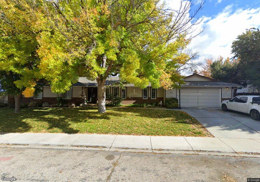
4346 N Tattenham Way Boise, ID 83713
West Boise NeighborhoodEstimated Value: $533,000 - $550,796
4
Beds
2
Baths
2,206
Sq Ft
$244/Sq Ft
Est. Value
About This Home
This home is located at 4346 N Tattenham Way, Boise, ID 83713 and is currently estimated at $539,199, approximately $244 per square foot. 4346 N Tattenham Way is a home located in Ada County with nearby schools including Frontier Elementary School, Lowell Scott Middle School, and Centennial High School.
Ownership History
Date
Name
Owned For
Owner Type
Purchase Details
Closed on
Dec 15, 1998
Sold by
Stevenson Gregory D and Stevenson Susan K
Bought by
Peery Jason D and Peery Teresa L
Current Estimated Value
Home Financials for this Owner
Home Financials are based on the most recent Mortgage that was taken out on this home.
Original Mortgage
$107,200
Outstanding Balance
$24,519
Interest Rate
6.86%
Mortgage Type
Purchase Money Mortgage
Estimated Equity
$514,680
Purchase Details
Closed on
Mar 3, 1998
Sold by
Bradley David A and Bradley Joan R
Bought by
Stevenson Gregory D and Stevenson Susan K
Create a Home Valuation Report for This Property
The Home Valuation Report is an in-depth analysis detailing your home's value as well as a comparison with similar homes in the area
Home Values in the Area
Average Home Value in this Area
Purchase History
| Date | Buyer | Sale Price | Title Company |
|---|---|---|---|
| Peery Jason D | -- | Alliance Title Company | |
| Stevenson Gregory D | -- | Alliance Title & Escrow Corp |
Source: Public Records
Mortgage History
| Date | Status | Borrower | Loan Amount |
|---|---|---|---|
| Open | Peery Jason D | $107,200 |
Source: Public Records
Tax History Compared to Growth
Tax History
| Year | Tax Paid | Tax Assessment Tax Assessment Total Assessment is a certain percentage of the fair market value that is determined by local assessors to be the total taxable value of land and additions on the property. | Land | Improvement |
|---|---|---|---|---|
| 2025 | $2,265 | $487,400 | -- | -- |
| 2024 | $2,060 | $467,500 | -- | -- |
| 2023 | $2,060 | $421,000 | $0 | $0 |
| 2022 | $2,493 | $494,300 | $0 | $0 |
| 2021 | $2,345 | $392,500 | $0 | $0 |
| 2020 | $2,018 | $302,500 | $0 | $0 |
| 2019 | $2,399 | $287,300 | $0 | $0 |
| 2018 | $2,159 | $252,000 | $0 | $0 |
| 2017 | $1,895 | $225,500 | $0 | $0 |
| 2016 | $1,909 | $218,100 | $0 | $0 |
| 2015 | $1,804 | $206,700 | $0 | $0 |
| 2012 | -- | $159,400 | $0 | $0 |
Source: Public Records
Map
Nearby Homes
- 4101 N Creswell Way
- 3982 Creswell Ln
- 12137 W Ginger Creek Dr
- 12159 W Ginger Creek Dr
- 12169 W Ginger Creek Dr
- 12163 W Ginger Creek Dr
- 12153 W Ginger Creek Dr
- 3981 N Creswell Ln
- 12137 Ginger Creek Dr
- 12123 W Ginger Creek Dr
- TBD Lot 12 W Garner Vines
- TBD Lot 10 W Garner Vines
- TBD Lot 6 W Garner Vines
- TBD Lot 8 W Garner Vines
- TBD Lot 11 W Garner Vines
- 3958 N Bryson Way
- TBD Lot 9 W Garner Vines
- TBD Lot 5 W Garner Vines
- 11301 W Goldenrod Ave
- TBD Lot 2 W Garner Vines
- 4302 N Tattenham Way
- 4368 N Tattenham Way
- 4347 N Tattenham Way
- 11775 W Goldenrod Ave
- 11850 Combes Park Dr
- 4280 N Tattenham Way
- 11725 Goldenrod Ave
- 11874 Combes Park Dr
- 4369 N Tattenham Way
- 4454 N Tattenham Way
- 11808 Goldenrod Ave
- 4277 Columbine St
- 11877 Goldenrod Ave
- 4258 N Tattenham Way
- 4335 N Columbine St
- 11922 Combes Park Dr
- 11725 W Goldenrod Ave
- 11849 Combes Park Dr
- 11873 W Combes Park Dr
- 11873 Combes Park Dr