435 Barnett Cir Columbus, MS 39701
Estimated Value: $218,000 - $249,904
3
Beds
2
Baths
1,741
Sq Ft
$137/Sq Ft
Est. Value
About This Home
This home is located at 435 Barnett Cir, Columbus, MS 39701 and is currently estimated at $238,476, approximately $136 per square foot. 435 Barnett Cir is a home.
Ownership History
Date
Name
Owned For
Owner Type
Purchase Details
Closed on
Apr 30, 2025
Sold by
Parker Benny G and Parker Melissa S
Bought by
Nieto Marcus and Nieto Ashley
Current Estimated Value
Home Financials for this Owner
Home Financials are based on the most recent Mortgage that was taken out on this home.
Original Mortgage
$242,651
Outstanding Balance
$241,360
Interest Rate
6.67%
Mortgage Type
VA
Estimated Equity
-$2,884
Create a Home Valuation Report for This Property
The Home Valuation Report is an in-depth analysis detailing your home's value as well as a comparison with similar homes in the area
Home Values in the Area
Average Home Value in this Area
Purchase History
| Date | Buyer | Sale Price | Title Company |
|---|---|---|---|
| Nieto Marcus | -- | None Listed On Document | |
| Nieto Marcus | -- | None Listed On Document |
Source: Public Records
Mortgage History
| Date | Status | Borrower | Loan Amount |
|---|---|---|---|
| Open | Nieto Marcus | $242,651 | |
| Closed | Nieto Marcus | $242,651 |
Source: Public Records
Tax History Compared to Growth
Tax History
| Year | Tax Paid | Tax Assessment Tax Assessment Total Assessment is a certain percentage of the fair market value that is determined by local assessors to be the total taxable value of land and additions on the property. | Land | Improvement |
|---|---|---|---|---|
| 2025 | $1,100 | $14,552 | $0 | $0 |
| 2024 | $1,088 | $14,552 | $0 | $0 |
| 2023 | $917 | $12,807 | $0 | $0 |
| 2022 | $917 | $12,807 | $0 | $0 |
| 2021 | $872 | $12,807 | $0 | $0 |
| 2020 | $806 | $12,807 | $0 | $0 |
| 2019 | $826 | $12,698 | $0 | $0 |
| 2018 | $826 | $12,645 | $0 | $0 |
| 2017 | $0 | $12,645 | $0 | $0 |
| 2016 | $776 | $12,645 | $0 | $0 |
| 2015 | -- | $12,816 | $0 | $0 |
| 2014 | -- | $12,816 | $0 | $0 |
Source: Public Records
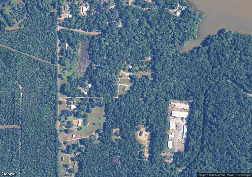
Map
Nearby Homes
- 3267 Old West Point Rd
- North side Wilkins-Wise Rd
- 0 Officers Lake Rd
- 120 Nelda Dr
- 1 Sleepy Hollow Dr
- 0 Hwy 45 N Unit 25-1761
- 98 Crepe Myrtle Dr
- 301 Holly Hills Rd
- 178 Stoneridge Walk
- 0 Riverchase Dr
- 101 Sherard Cir
- 38 Sweet Gum Ln
- 3503 Camellia Cir
- 2 S Frontage Rd
- 4 S Frontage Rd
- 0 Hickory Ridge
- 5 Clisby Rd
- 13 Clisby Rd
- 0 S Frontage Road Lot #1 Unit 25-579
- 12 Clisby Rd