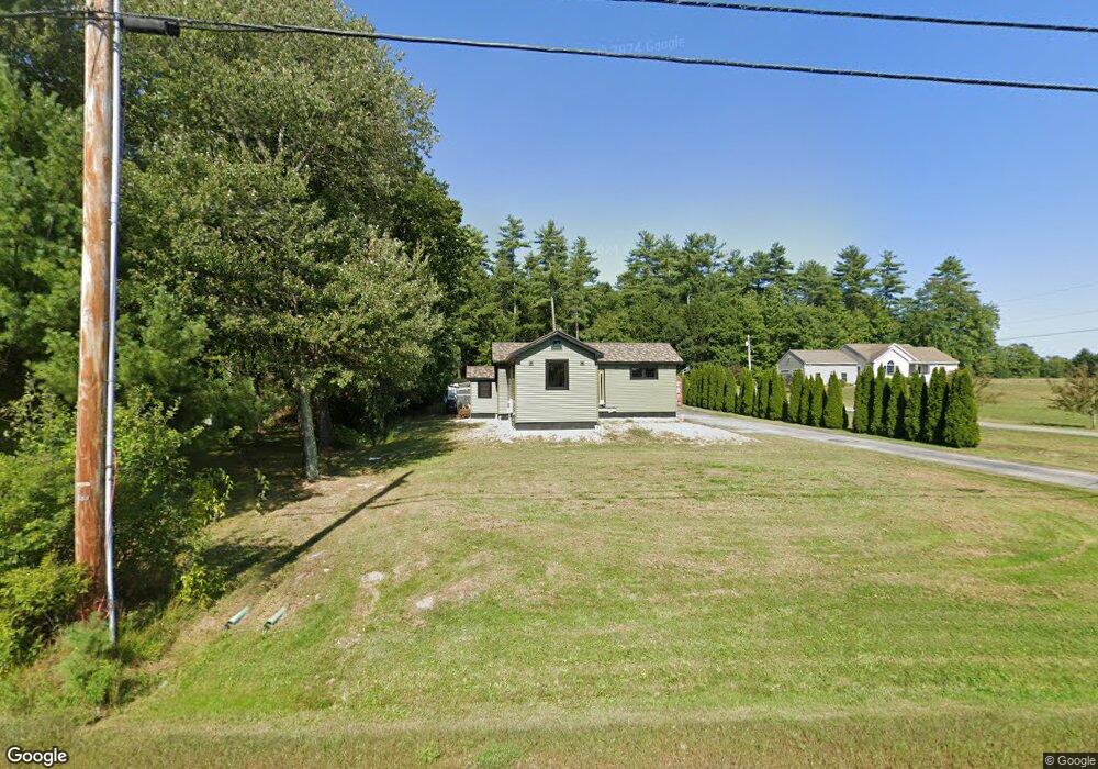
435 Buxton Rd Saco, ME 04072
North Saco NeighborhoodEstimated Value: $315,000 - $436,000
2
Beds
1
Bath
764
Sq Ft
$498/Sq Ft
Est. Value
About This Home
This home is located at 435 Buxton Rd, Saco, ME 04072 and is currently estimated at $380,659, approximately $498 per square foot. 435 Buxton Rd is a home located in York County with nearby schools including C K Burns School and Saco Middle School.
Ownership History
Date
Name
Owned For
Owner Type
Purchase Details
Closed on
Apr 19, 2011
Sold by
Builders Supply Inc
Bought by
Bauman Robert H
Current Estimated Value
Home Financials for this Owner
Home Financials are based on the most recent Mortgage that was taken out on this home.
Original Mortgage
$163,440
Outstanding Balance
$113,232
Interest Rate
4.89%
Mortgage Type
Purchase Money Mortgage
Estimated Equity
$267,427
Purchase Details
Closed on
Jun 24, 2008
Sold by
Chase Linda
Bought by
435 Buxton Road Res T
Purchase Details
Closed on
Jul 19, 2005
Sold by
Benway Richard A
Bought by
Chase Linda
Home Financials for this Owner
Home Financials are based on the most recent Mortgage that was taken out on this home.
Original Mortgage
$139,500
Interest Rate
9%
Mortgage Type
Adjustable Rate Mortgage/ARM
Create a Home Valuation Report for This Property
The Home Valuation Report is an in-depth analysis detailing your home's value as well as a comparison with similar homes in the area
Home Values in the Area
Average Home Value in this Area
Purchase History
| Date | Buyer | Sale Price | Title Company |
|---|---|---|---|
| Bauman Robert H | $160,000 | -- | |
| 435 Buxton Road Res T | -- | -- | |
| Chase Linda | -- | -- |
Source: Public Records
Mortgage History
| Date | Status | Borrower | Loan Amount |
|---|---|---|---|
| Open | Bauman Robert H | $163,440 | |
| Previous Owner | Chase Linda | $139,500 |
Source: Public Records
Tax History
| Year | Tax Paid | Tax Assessment Tax Assessment Total Assessment is a certain percentage of the fair market value that is determined by local assessors to be the total taxable value of land and additions on the property. | Land | Improvement |
|---|---|---|---|---|
| 2024 | $3,208 | $228,300 | $140,400 | $87,900 |
| 2023 | $3,367 | $228,300 | $140,400 | $87,900 |
| 2022 | $3,254 | $177,500 | $106,900 | $70,600 |
| 2021 | $3,094 | $163,900 | $95,600 | $68,300 |
| 2020 | $2,919 | $148,400 | $84,200 | $64,200 |
| 2019 | $2,876 | $148,400 | $84,200 | $64,200 |
| 2018 | $2,727 | $140,700 | $76,500 | $64,200 |
| 2017 | $2,579 | $133,100 | $69,500 | $63,600 |
| 2016 | $2,480 | $127,700 | $53,200 | $74,500 |
| 2015 | $2,441 | $127,000 | $53,200 | $73,800 |
| 2014 | $2,365 | $127,000 | $53,200 | $73,800 |
| 2013 | $2,360 | $127,000 | $53,200 | $73,800 |
Source: Public Records
Map
Nearby Homes
- 0 Simpson Rd
- 158 Lord Rd
- 130 Heath Rd
- 4 Primrose Ln
- 153 Mckenney Rd
- 70 Beech Plains Rd
- 0 Beech Plains Rd
- 181 Watson Mill Rd
- 00 Miso Way
- Lot 1 & 2 Memory Ln
- 69 Old Orchard Rd
- 3 Trapper John Rd
- 48 Tickle Way
- 30 Joy Valley Rd
- 281 Narragansett Trail
- 4 Lebanon Rd
- 12 Salmon Falls Rd
- 18 Eaton Dr
- 430 Narragansett Trail
- 222 Main St
Your Personal Tour Guide
Ask me questions while you tour the home.