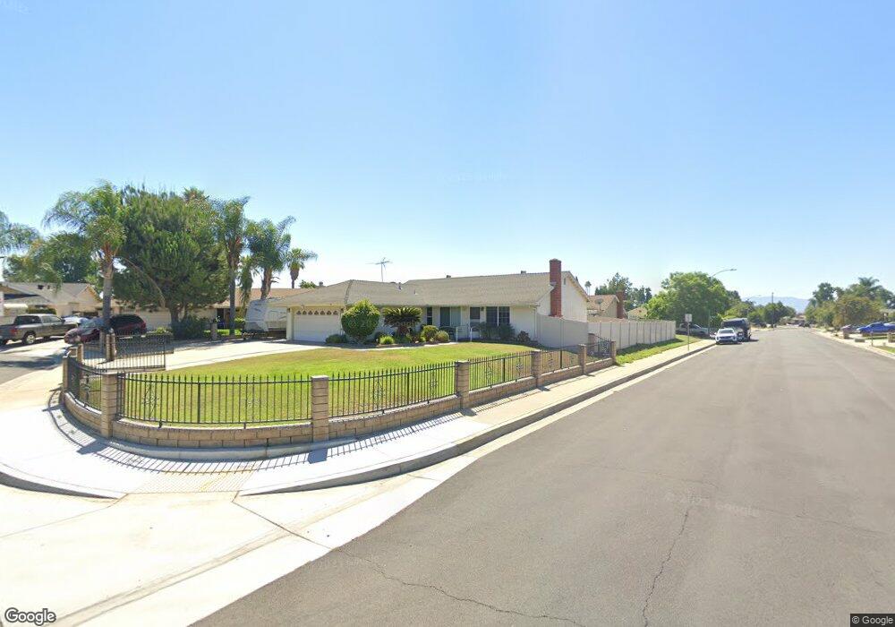
435 Damson Ct Ontario, CA 91762
Downtown Ontario NeighborhoodEstimated Value: $651,000 - $746,000
4
Beds
2
Baths
1,232
Sq Ft
$562/Sq Ft
Est. Value
About This Home
This home is located at 435 Damson Ct, Ontario, CA 91762 and is currently estimated at $692,968, approximately $562 per square foot. 435 Damson Ct is a home located in San Bernardino County with nearby schools including Richard Haynes Elementary, Oaks Middle, and Ontario High School.
Ownership History
Date
Name
Owned For
Owner Type
Purchase Details
Closed on
Sep 5, 2002
Sold by
Savolt Robert F
Bought by
Savolt Robert F and The Savolt Revocable Living Tr
Current Estimated Value
Purchase Details
Closed on
Aug 24, 1997
Sold by
Savolt Randy Dean and Savolt Diana Lynn
Bought by
Savolt Robert Francis
Purchase Details
Closed on
Apr 21, 1995
Sold by
Savolt Robert F
Bought by
Savolt Randy Dean and Savolt Diana Lynn
Create a Home Valuation Report for This Property
The Home Valuation Report is an in-depth analysis detailing your home's value as well as a comparison with similar homes in the area
Home Values in the Area
Average Home Value in this Area
Purchase History
| Date | Buyer | Sale Price | Title Company |
|---|---|---|---|
| Savolt Robert F | -- | -- | |
| Savolt Robert Francis | -- | -- | |
| Savolt Randy Dean | -- | -- |
Source: Public Records
Tax History
| Year | Tax Paid | Tax Assessment Tax Assessment Total Assessment is a certain percentage of the fair market value that is determined by local assessors to be the total taxable value of land and additions on the property. | Land | Improvement |
|---|---|---|---|---|
| 2025 | $2,069 | $193,323 | $42,107 | $151,216 |
| 2024 | $2,022 | $189,532 | $41,281 | $148,251 |
| 2023 | $1,964 | $185,816 | $40,472 | $145,344 |
| 2022 | $1,937 | $182,172 | $39,678 | $142,494 |
| 2021 | $1,923 | $178,600 | $38,900 | $139,700 |
| 2020 | $1,889 | $176,769 | $38,501 | $138,268 |
| 2019 | $1,872 | $173,303 | $37,746 | $135,557 |
| 2018 | $1,845 | $169,905 | $37,006 | $132,899 |
| 2017 | $1,777 | $166,573 | $36,280 | $130,293 |
| 2016 | $1,706 | $163,307 | $35,569 | $127,738 |
| 2015 | $1,694 | $160,854 | $35,035 | $125,819 |
| 2014 | $1,641 | $157,703 | $34,349 | $123,354 |
Source: Public Records
Map
Nearby Homes
- 2041 S Oakland Ave
- 250 W Via Presido Unit 105
- 2333 S Via Esplanade Unit 29
- 2350 S Via Esplanade Unit 31
- 304 E Cedar St
- 926 W Philadelphia St Unit Q93
- 926 W Philadelphia St Unit 57
- 310 E Philadelphia St Unit 147
- 310 E Philadelphia St
- 310 E Philadelphia St Unit SPC 102
- 1546 Redwood Ave
- 214 W Locust St
- 12482 Silkleaf Ave
- 12476 Park Ave
- 12400 Cypress Ave Unit 45
- 320 W Walnut St Unit 51
- 2300 S Sultana Ave Unit 298
- 2300 S Sultana Ave Unit 286
- 2300 S Sultana Ave Unit 256
- 2300 S Sultana Ave Unit 206
- 429 Damson Ct
- 436 Laroda Ct
- 430 Laroda Ct
- 423 Damson Ct
- 2022 S Bonita Ave
- 2016 S Bonita Ave
- 2028 S Bonita Ave
- 436 Damson Ct
- 424 Laroda Ct
- 2010 S Bonita Ave
- 2034 S Bonita Ave
- 424 Damson Ct
- 430 Damson Ct
- 2020 S Vine Ave
- 2026 S Vine Ave
- 2002 S Bonita Ave
- 2040 S Bonita Ave
- 2014 S Vine Ave
- 2032 S Vine Ave
- 2005 S Bonita Ave
Your Personal Tour Guide
Ask me questions while you tour the home.