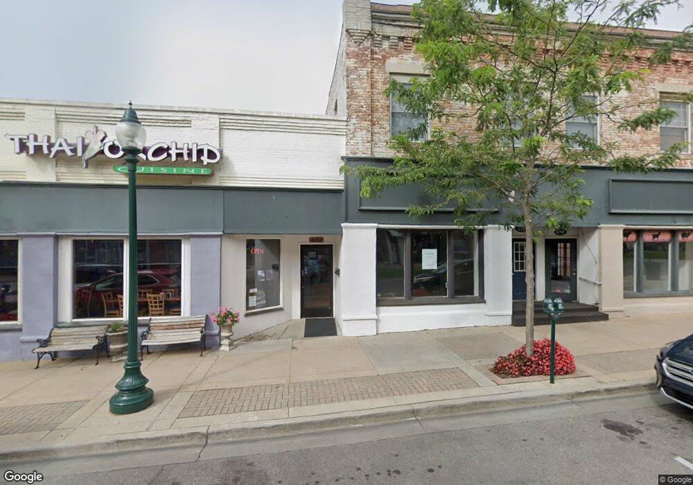
435 E Mitchell St Petoskey, MI 49770
Studio
--
Bath
2,400
Sq Ft
35,806
Sq Ft Lot
About This Home
This home is located at 435 E Mitchell St, Petoskey, MI 49770. 435 E Mitchell St is a home located in Emmet County with nearby schools including Petoskey High School, St. Francis Xavier School, and Petoskey Montessori Children's.
Ownership History
Date
Name
Owned For
Owner Type
Purchase Details
Closed on
Jul 7, 2016
Sold by
Petoskey Land Cattile Company Llc
Bought by
Manchester Petoskey Llc
Purchase Details
Closed on
Oct 3, 2002
Sold by
Redding Christopher M
Bought by
Petoskey Land And Cattle Co Llc
Purchase Details
Closed on
Feb 20, 1997
Sold by
Colwell Shirley E
Bought by
Redding Christopher M
Purchase Details
Closed on
Dec 1, 1985
Sold by
Starmer $50000 Mort
Bought by
Rellinger and $110000 Note
Purchase Details
Closed on
Dec 1, 1984
Bought by
Smith
Create a Home Valuation Report for This Property
The Home Valuation Report is an in-depth analysis detailing your home's value as well as a comparison with similar homes in the area
Home Values in the Area
Average Home Value in this Area
Purchase History
| Date | Buyer | Sale Price | Title Company |
|---|---|---|---|
| Manchester Petoskey Llc | $1,740,715 | None Available | |
| Petoskey Land And Cattle Co Llc | -- | -- | |
| Redding Christopher M | $376,000 | -- | |
| Rellinger | -- | -- | |
| Smith | $67,700 | -- |
Source: Public Records
Tax History
| Year | Tax Paid | Tax Assessment Tax Assessment Total Assessment is a certain percentage of the fair market value that is determined by local assessors to be the total taxable value of land and additions on the property. | Land | Improvement |
|---|---|---|---|---|
| 2025 | $19,144 | $617,500 | $617,500 | $0 |
| 2024 | $182 | $588,100 | $588,100 | $0 |
| 2023 | $17,396 | $519,600 | $519,600 | $0 |
| 2022 | $17,396 | $487,200 | $487,200 | $0 |
| 2021 | $16,914 | $466,100 | $466,100 | $0 |
| 2020 | $16,923 | $377,700 | $377,700 | $0 |
| 2019 | -- | $342,100 | $342,100 | $0 |
| 2018 | -- | $357,100 | $357,100 | $0 |
| 2017 | -- | $327,400 | $327,400 | $0 |
| 2016 | -- | $308,700 | $308,700 | $0 |
| 2015 | -- | $300,900 | $0 | $0 |
| 2014 | -- | $292,500 | $0 | $0 |
Source: Public Records
Map
Nearby Homes
- 410 E Mitchell St Unit 2F
- 410 E Mitchell St Unit C
- 524 State St
- 624 Michigan St Unit 524 State 138 E Sher
- 624 Michigan St
- 606 State St
- 511 Bay St
- 444 Grove St
- 617 Harvey St
- 431 Beech St
- 120 E Lake St
- 308 Fulton St
- 1012 Jefferson Ave
- 619 Kalamazoo Ave
- 420 Wachtel Ave
- 415 Liberty St
- 1023 Emmet St
- 513 Liberty St
- 1035 Emmet St
- 431 Carleton St
- 434 E Mitchell St
- 436 E Mitchell St
- 442 E Mitchell St
- 442 E Mitchell St Unit 1
- 444 E Mitchell St
- 422 E Mitchell St Unit 422 1/2
- 422 E Mitchell St
- 422 E Mitchell St Unit 4
- 422 E Mitchell St Unit 1
- 300 Park Ave
- 446 E Mitchell St
- 446 E Mitchell St Unit B
- 445 E Mitchell St Unit A
- 437 E Mitchell St
- 412 E Mitchell St
- 416 E Mitchell St
- 414 Waukazoo Ave
- 461 E Mitchell St
- 418 Waukazoo Ave Unit 4
- 418 Waukazoo Ave Unit 3
Your Personal Tour Guide
Ask me questions while you tour the home.