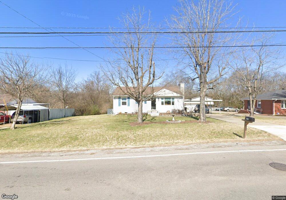
435 Ewing Dr Nashville, TN 37207
Talbot's Corner NeighborhoodEstimated Value: $248,402 - $302,000
3
Beds
1
Bath
864
Sq Ft
$319/Sq Ft
Est. Value
About This Home
This home is located at 435 Ewing Dr, Nashville, TN 37207 and is currently estimated at $275,351, approximately $318 per square foot. 435 Ewing Dr is a home located in Davidson County with nearby schools including Alex Green Elementary School, Old Center Elementary, and Brick Church Middle School.
Ownership History
Date
Name
Owned For
Owner Type
Purchase Details
Closed on
Apr 16, 2021
Sold by
Allen Connie L
Bought by
Cothran Tammy Ruth
Current Estimated Value
Home Financials for this Owner
Home Financials are based on the most recent Mortgage that was taken out on this home.
Original Mortgage
$131,750
Outstanding Balance
$16,425
Interest Rate
3.05%
Mortgage Type
New Conventional
Estimated Equity
$258,926
Purchase Details
Closed on
May 4, 2011
Sold by
Waller Bradley J
Bought by
Lee Hazel E
Purchase Details
Closed on
Feb 3, 2000
Sold by
Lee Betty
Bought by
Lee Betty
Create a Home Valuation Report for This Property
The Home Valuation Report is an in-depth analysis detailing your home's value as well as a comparison with similar homes in the area
Home Values in the Area
Average Home Value in this Area
Purchase History
| Date | Buyer | Sale Price | Title Company |
|---|---|---|---|
| Cothran Tammy Ruth | $155,000 | None Listed On Document | |
| Lee Hazel E | $15,000 | None Available | |
| Lee Betty | -- | -- |
Source: Public Records
Mortgage History
| Date | Status | Borrower | Loan Amount |
|---|---|---|---|
| Open | Cothran Tammy Ruth | $131,750 |
Source: Public Records
Tax History Compared to Growth
Tax History
| Year | Tax Paid | Tax Assessment Tax Assessment Total Assessment is a certain percentage of the fair market value that is determined by local assessors to be the total taxable value of land and additions on the property. | Land | Improvement |
|---|---|---|---|---|
| 2024 | $1,091 | $33,525 | $14,100 | $19,425 |
| 2023 | $1,091 | $33,525 | $14,100 | $19,425 |
| 2022 | $1,043 | $33,525 | $14,100 | $19,425 |
| 2021 | $1,102 | $33,525 | $14,100 | $19,425 |
| 2020 | $855 | $20,250 | $7,750 | $12,500 |
| 2019 | $639 | $20,250 | $7,750 | $12,500 |
| 2018 | $639 | $20,250 | $7,750 | $12,500 |
| 2017 | $639 | $20,250 | $7,750 | $12,500 |
| 2016 | $672 | $14,875 | $5,250 | $9,625 |
| 2015 | $672 | $14,875 | $5,250 | $9,625 |
| 2014 | $672 | $14,875 | $5,250 | $9,625 |
Source: Public Records
Map
Nearby Homes
- 439 Ewing Dr
- 430 Ewing Dr
- 0 Ewing Dr Unit RTC2807170
- 0 Ewing Dr Unit RTC3011325
- 0 Ewing Dr Unit RTC2989232
- 3205 Ewingdale Dr
- 456 Ewing Ln
- 3027 Capps Dr
- 3133 Greggwood Dr
- 3103 Brick Church Pike
- 2144 W Richmond Hill Dr
- 388 Ewing Dr
- 2941 Vista Ln
- 3205 Leswood Ln
- 3214 Doverside Dr
- 308 Vista Cove
- 3183 Bridgepoint Dr
- 3061 Richmond Hill Dr
- 2712 Vista Ln
- 3070 Richmond Hill Dr