Estimated Value: $480,000 - $492,066
2
Beds
2
Baths
1,350
Sq Ft
$362/Sq Ft
Est. Value
About This Home
This home is located at 435 Kingston Dr, Ridge, NY 11961 and is currently estimated at $488,267, approximately $361 per square foot. 435 Kingston Dr is a home located in Suffolk County with nearby schools including Longwood Junior High School, Longwood Middle School, and Longwood Senior High School.
Ownership History
Date
Name
Owned For
Owner Type
Purchase Details
Closed on
Sep 24, 2025
Sold by
Sweeney Walter and Sweeney Judith
Bought by
Walter Sweeney Irt and Ingrassia
Current Estimated Value
Purchase Details
Closed on
Oct 6, 2022
Sold by
Rosato Marie Est and Rosato
Bought by
Sweeney Walter and Sweener Judith
Purchase Details
Closed on
Jan 19, 2012
Sold by
Anderson Linda and Indelicato Mary
Bought by
Rosato Salvatore and Rosato Marie
Home Financials for this Owner
Home Financials are based on the most recent Mortgage that was taken out on this home.
Original Mortgage
$140,000
Interest Rate
3.92%
Mortgage Type
New Conventional
Purchase Details
Closed on
Dec 26, 1994
Sold by
Indelicato William and Indelicato Mary
Bought by
Indelicato Mary
Create a Home Valuation Report for This Property
The Home Valuation Report is an in-depth analysis detailing your home's value as well as a comparison with similar homes in the area
Home Values in the Area
Average Home Value in this Area
Purchase History
| Date | Buyer | Sale Price | Title Company |
|---|---|---|---|
| Walter Sweeney Irt | -- | -- | |
| Sweeney Walter | $415,000 | Stewart Title | |
| Rosato Salvatore | $175,000 | -- | |
| Rosato Salvatore | $175,000 | -- | |
| Indelicato Mary | -- | -- |
Source: Public Records
Mortgage History
| Date | Status | Borrower | Loan Amount |
|---|---|---|---|
| Previous Owner | Rosato Salvatore | $140,000 |
Source: Public Records
Tax History
| Year | Tax Paid | Tax Assessment Tax Assessment Total Assessment is a certain percentage of the fair market value that is determined by local assessors to be the total taxable value of land and additions on the property. | Land | Improvement |
|---|---|---|---|---|
| 2024 | $6,774 | $1,575 | $375 | $1,200 |
| 2023 | $6,774 | $1,575 | $375 | $1,200 |
| 2022 | $3,369 | $1,575 | $375 | $1,200 |
| 2021 | $3,369 | $1,575 | $375 | $1,200 |
| 2020 | $3,492 | $1,575 | $375 | $1,200 |
| 2019 | $3,492 | $0 | $0 | $0 |
| 2018 | $3,316 | $1,575 | $375 | $1,200 |
| 2017 | $3,316 | $1,575 | $375 | $1,200 |
| 2016 | $3,285 | $1,575 | $375 | $1,200 |
| 2015 | -- | $1,575 | $375 | $1,200 |
| 2014 | -- | $1,575 | $375 | $1,200 |
Source: Public Records
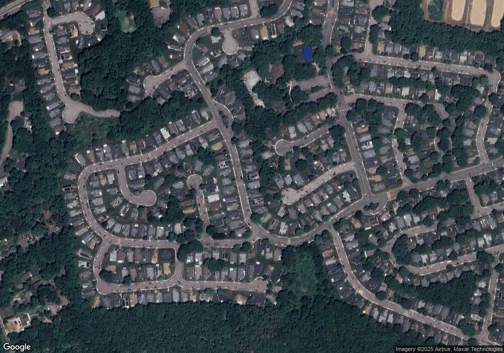
Map
Nearby Homes
- 475 Stratford Ln
- 506 Lancaster Ct
- 498 Cranston Ln
- 206 Belfast Ln
- 151 Laurance Ln
- 190 Edinburgh Dr
- 190 Canterbury Dr
- 274 Berwick Ct Unit A
- 278 Berwick Ct Unit B
- 279 Berwick Ct Unit B
- 145 Edinburgh Dr
- 51 Ridge Haven Dr
- 304 Kingston Ct
- 306 Torquay Ct Unit E
- 373 Woodbridge Dr Unit B
- 2 Bedford Ct
- 427 Aylesbury Ct Unit A
- 33 Highview Ln
- 360 Woodbridge Dr Unit A
- 380 Woodbridge Dr Unit D
- 433 Kingston Dr
- 434 Kingston Dr
- 432 Kingston Dr
- 436 Kingston Dr
- 377 Larchmont Ct
- 447 Kingston Dr
- 437 Kingston Dr Unit 55+
- 437 Kingston Dr
- 446 Kingston Dr
- 446 Kingston Dr Unit 55
- 376 Larchmont Ct
- 431 Kingston Dr
- 445 Kingston Dr
- 445 Kingston Dr Unit 55+
- 378 Larchmont Ct
- 361 Sheffield Ct
- 444 Kingston Dr
- 362 Sheffield Ct
- 438 Kingston Dr
- 375 Larchmont Ct
Your Personal Tour Guide
Ask me questions while you tour the home.