435 Lakeside Rd Vonore, TN 37885
Estimated Value: $333,997 - $800,000
--
Bed
2
Baths
1,460
Sq Ft
$357/Sq Ft
Est. Value
About This Home
This home is located at 435 Lakeside Rd, Vonore, TN 37885 and is currently estimated at $520,749, approximately $356 per square foot. 435 Lakeside Rd is a home located in Monroe County with nearby schools including Vonore Elementary School, Vonore Middle School, and Sweetwater High School.
Ownership History
Date
Name
Owned For
Owner Type
Purchase Details
Closed on
Nov 20, 2017
Sold by
Thompson Janice J and Lona Beranda
Bought by
Summitt Michael and Summitt Michelle D
Current Estimated Value
Home Financials for this Owner
Home Financials are based on the most recent Mortgage that was taken out on this home.
Original Mortgage
$240,000
Outstanding Balance
$140,737
Interest Rate
6.18%
Mortgage Type
Adjustable Rate Mortgage/ARM
Estimated Equity
$380,012
Purchase Details
Closed on
May 3, 2002
Bought by
Thompson Paul
Purchase Details
Closed on
Jun 24, 1996
Sold by
Belk Pamela S
Bought by
Paul Thompson
Purchase Details
Closed on
May 27, 1991
Bought by
Belk Pamela S
Purchase Details
Closed on
Mar 4, 1977
Bought by
Belk Terry and Belk Pam
Create a Home Valuation Report for This Property
The Home Valuation Report is an in-depth analysis detailing your home's value as well as a comparison with similar homes in the area
Home Values in the Area
Average Home Value in this Area
Purchase History
| Date | Buyer | Sale Price | Title Company |
|---|---|---|---|
| Summitt Michael | $30,000 | None Available | |
| Thompson Paul | $2,500 | -- | |
| Paul Thompson | $60,300 | -- | |
| Belk Pamela S | -- | -- | |
| Belk Terry | -- | -- |
Source: Public Records
Mortgage History
| Date | Status | Borrower | Loan Amount |
|---|---|---|---|
| Open | Summitt Michael | $240,000 |
Source: Public Records
Tax History Compared to Growth
Tax History
| Year | Tax Paid | Tax Assessment Tax Assessment Total Assessment is a certain percentage of the fair market value that is determined by local assessors to be the total taxable value of land and additions on the property. | Land | Improvement |
|---|---|---|---|---|
| 2025 | $1,038 | $68,475 | $0 | $0 |
| 2024 | $1,038 | $68,150 | $8,225 | $59,925 |
| 2023 | $1,038 | $68,150 | $8,225 | $59,925 |
| 2022 | $961 | $42,925 | $5,375 | $37,550 |
| 2021 | $961 | $42,925 | $5,375 | $37,550 |
| 2020 | $888 | $42,450 | $5,375 | $37,075 |
| 2019 | $189 | $39,650 | $5,375 | $34,275 |
| 2018 | $189 | $9,550 | $5,375 | $4,175 |
| 2017 | $201 | $9,600 | $6,150 | $3,450 |
| 2016 | $195 | $9,300 | $6,200 | $3,100 |
| 2015 | $195 | $9,300 | $6,200 | $3,100 |
| 2014 | $195 | $9,293 | $0 | $0 |
Source: Public Records
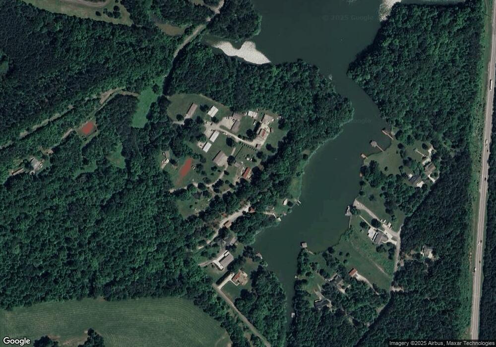
Map
Nearby Homes
- 159 Bat Creek Shores Ln
- 0 Wilderness Dr Unit 1308702
- 0 Wilderness Dr Unit RTC2924178
- 768 Wood Duck Dr
- 141 Overlook Way
- 124 Eagle Cir
- 692 Overlook Way
- 0 Overlook Way Unit RTC2986596
- 0 Overlook Way Unit 1289749
- 0 Overlook Way Unit 1270681
- 725 Wood Duck Dr
- 321 Hendrix Loop
- 340 Lovin Farm Rd
- 708 Wood Duck Dr
- 608 Wood Duck Dr
- 711 Wood Duck Dr
- 232 Eagle Cir
- 275 Osprey Cir
- 600 Wood Duck Dr
- 526 Lovin Farm Rd
- 355 Lakeside Rd
- 371 Lakeside Rd
- 447 Lakeside Rd
- 451 Lakeside Rd
- 431 Lakeside Rd
- 457 Lakeside Rd
- 465 Lakeside Rd
- 165 Bat Creek Shores Ln
- 177 Bat Creek Shores Ln
- 0 Bat Creek Shores Unit 885354
- 0 Bat Creek Shores Unit 925579
- 169 Bat Creek Shores Ln
- 173 Bat Creek Shores Ln
- 185 Bat Creek Shores Ln
- Lot 4 Bat Creek Shores Ln
- 187 Bat Creek Shores Ln
- 102 Wilderness Dr
- 102 Wilderness Dr
- 105 Farnsworth Rd
- 176 Bat Creek Shores Ln