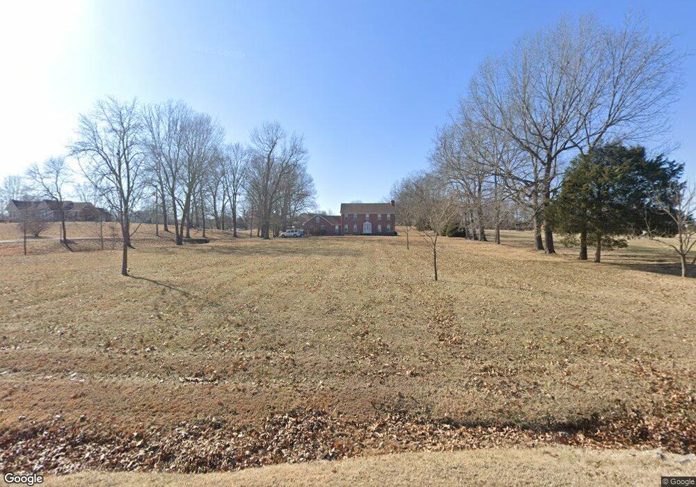
435 Ranch Rd Portland, TN 37148
Estimated Value: $553,653 - $643,000
--
Bed
3
Baths
2,750
Sq Ft
$221/Sq Ft
Est. Value
About This Home
This home is located at 435 Ranch Rd, Portland, TN 37148 and is currently estimated at $608,663, approximately $221 per square foot. 435 Ranch Rd is a home located in Sumner County with nearby schools including Watt Hardison Elementary School, Portland West Middle School, and Portland High School.
Ownership History
Date
Name
Owned For
Owner Type
Purchase Details
Closed on
Jul 7, 2008
Sold by
England Harold D and England Teresa H
Bought by
Cardinal Stephen M
Current Estimated Value
Home Financials for this Owner
Home Financials are based on the most recent Mortgage that was taken out on this home.
Original Mortgage
$263,022
Interest Rate
6.08%
Mortgage Type
FHA
Purchase Details
Closed on
Jan 23, 1997
Sold by
Barlow Terry and Barlow Tammy
Bought by
England Harold D and England Teresa H
Home Financials for this Owner
Home Financials are based on the most recent Mortgage that was taken out on this home.
Original Mortgage
$126,150
Interest Rate
7.56%
Mortgage Type
FHA
Create a Home Valuation Report for This Property
The Home Valuation Report is an in-depth analysis detailing your home's value as well as a comparison with similar homes in the area
Home Values in the Area
Average Home Value in this Area
Purchase History
| Date | Buyer | Sale Price | Title Company |
|---|---|---|---|
| Cardinal Stephen M | $265,100 | Realty Title & Escrow Co Inc | |
| England Harold D | $148,000 | -- |
Source: Public Records
Mortgage History
| Date | Status | Borrower | Loan Amount |
|---|---|---|---|
| Previous Owner | Cardinal Stephen M | $263,022 | |
| Previous Owner | England Harold D | $126,150 |
Source: Public Records
Tax History Compared to Growth
Tax History
| Year | Tax Paid | Tax Assessment Tax Assessment Total Assessment is a certain percentage of the fair market value that is determined by local assessors to be the total taxable value of land and additions on the property. | Land | Improvement |
|---|---|---|---|---|
| 2024 | $1,821 | $128,150 | $23,075 | $105,075 |
| 2023 | $1,627 | $72,250 | $9,875 | $62,375 |
| 2022 | $1,634 | $72,250 | $9,875 | $62,375 |
| 2021 | $1,634 | $72,250 | $9,875 | $62,375 |
| 2020 | $1,634 | $72,250 | $9,875 | $62,375 |
| 2019 | $1,634 | $0 | $0 | $0 |
| 2018 | $1,327 | $0 | $0 | $0 |
| 2017 | $1,327 | $0 | $0 | $0 |
| 2016 | $1,327 | $0 | $0 | $0 |
| 2015 | -- | $0 | $0 | $0 |
| 2014 | -- | $0 | $0 | $0 |
Source: Public Records
Map
Nearby Homes
- 0 N Leath Rd
- 226 Ranch Rd
- 605 Denning Ford Rd
- 609 Denning Ford Rd
- 103 Alice Smith Dr
- 1171 Highway 52 W
- 121 Lindsey Kyla Ct
- 0 52 Highway E Lots
- 0 Piper Rd Unit RTC2921619
- 0 Piper Rd Unit RTC2921618
- 0 Highway 52e Unit RTC3031923
- 0 Highway 52e Unit RTC3031922
- 107 Haynes Ln
- 0 Meadows Rd Unit RTC2865315
- 820 Highway 52 E
- 259 W Carter Rd
- 105 Mount Moriah Church Rd
- 0 Mount Moriah Church Rd
- 798 N Leath Rd
- 0 Hwy 259 Unit RTC2921616
- 425 Ranch Rd
- 1020 Silver Maple Ln
- 443 Ranch Rd
- 421 Ranch Rd
- 1022 Silver Maple Ln
- 1018 Silver Maple Ln
- 417 Ranch Rd
- 439 Ranch Rd
- 447 Ranch Rd
- 432 Ranch Rd
- 424 Ranch Rd
- 1016 Silver Maple Ln
- 451 Ranch Rd
- 100 Silver Maple Cir
- 1021 Silver Maple Ln
- 403 Ranch Rd
- 420 Ranch Rd
- 412 Ranch Rd
- 407 Ranch Rd
- 102 Silver Maple Cir