435 Spring Field Dr Unit 30 Clarkesville, GA 30523
Estimated Value: $701,347 - $944,000
4
Beds
4
Baths
3,139
Sq Ft
$245/Sq Ft
Est. Value
About This Home
This home is located at 435 Spring Field Dr Unit 30, Clarkesville, GA 30523 and is currently estimated at $770,337, approximately $245 per square foot. 435 Spring Field Dr Unit 30 is a home located in Habersham County with nearby schools including Clarkesville Elementary School, North Habersham Middle School, and Habersham Success Academy.
Ownership History
Date
Name
Owned For
Owner Type
Purchase Details
Closed on
Dec 2, 2015
Sold by
The Wiles Grp Inc
Bought by
Mclendon Ben D and Mclendon Wendy J
Current Estimated Value
Purchase Details
Closed on
Jul 7, 2015
Sold by
Rowe David C
Bought by
The Wiles Grp Inc
Purchase Details
Closed on
Feb 1, 2007
Sold by
Not Provided
Bought by
Rowe David C and Rowe Robin T
Home Financials for this Owner
Home Financials are based on the most recent Mortgage that was taken out on this home.
Original Mortgage
$427,000
Interest Rate
6.13%
Mortgage Type
New Conventional
Create a Home Valuation Report for This Property
The Home Valuation Report is an in-depth analysis detailing your home's value as well as a comparison with similar homes in the area
Home Values in the Area
Average Home Value in this Area
Purchase History
| Date | Buyer | Sale Price | Title Company |
|---|---|---|---|
| Mclendon Ben D | $305,100 | -- | |
| The Wiles Grp Inc | $219,835 | -- | |
| Rowe David C | $60,000 | -- |
Source: Public Records
Mortgage History
| Date | Status | Borrower | Loan Amount |
|---|---|---|---|
| Previous Owner | Rowe David C | $427,000 |
Source: Public Records
Tax History Compared to Growth
Tax History
| Year | Tax Paid | Tax Assessment Tax Assessment Total Assessment is a certain percentage of the fair market value that is determined by local assessors to be the total taxable value of land and additions on the property. | Land | Improvement |
|---|---|---|---|---|
| 2025 | $1,920 | $289,370 | $36,000 | $253,370 |
| 2024 | -- | $276,552 | $20,800 | $255,752 |
| 2023 | $1,465 | $227,480 | $20,800 | $206,680 |
| 2022 | $1,636 | $197,644 | $20,800 | $176,844 |
| 2021 | $1,523 | $173,128 | $9,600 | $163,528 |
| 2020 | $3,594 | $149,764 | $9,600 | $140,164 |
| 2019 | $3,598 | $149,764 | $9,600 | $140,164 |
| 2018 | $3,578 | $149,764 | $9,600 | $140,164 |
| 2017 | $3,408 | $136,436 | $9,600 | $126,836 |
| 2016 | $3,092 | $305,100 | $8,544 | $113,496 |
| 2015 | $3,062 | $297,020 | $9,600 | $109,208 |
| 2014 | $3,026 | $288,110 | $9,600 | $105,644 |
| 2013 | -- | $115,244 | $9,600 | $105,644 |
Source: Public Records
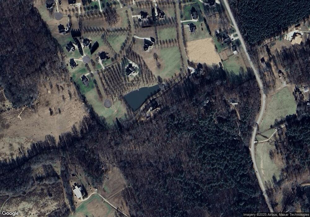
Map
Nearby Homes
- 132 James Rd
- 220 Hardman Rd
- 2041 Highway 197 N
- 1096 Sutton Mill Rd
- 1867 Georgia 197
- 219 Signing Tree Ln
- 124 Signing Tree Ln
- 0 Sutton Mill Rd Unit 10644026
- 1955 Alec Mountain Rd
- 104 Brando Trail
- 323 McCartan Trail
- 165 Pearl St
- 182 Hardman Rd
- 274 Hardman Rd
- 145 Goldust Ave
- 715 Ridge Rd
- 555 Highway 197 N
- 0 TRACT 1 Annandale Dr
- 0 TRACT 3 Annandale Dr
- 0 TRACT 2 Annandale Dr
- 435 Spring Field Dr
- 555 Plainview Dr
- 2429 Highway 197 N
- 650 Country Meadow Dr Unit 18
- 650 Country Meadow Dr
- 0 Springfield Dr Lot 32 Unit 32 20022287
- 545 Plainview Dr
- 580 Plainview Dr
- 0 Plainview Dr Unit 12 8343502
- 0 Plainview Dr Unit LOT 12 3029682
- 0 Plainview Dr Unit 23 7526404
- 0 Plainview Dr Unit 24 7526379
- 0 Plainview Dr Unit 12 7526362
- 0 Plainview Dr Unit 12 8592368
- 0 Country Meadow Unit 17 7527073
- 0 Country Meadow Unit 7288743
- 0 Springfield Dr Unit 28 8343525
- 0 Springfield Dr Unit 27 8343521
- 0 Springfield Dr Unit 29 7526429
- 0 Springfield Dr Unit 28 7526425