435 Thomas Rd Cookeville, TN 38501
Estimated Value: $264,000 - $306,000
--
Bed
1
Bath
1,220
Sq Ft
$231/Sq Ft
Est. Value
About This Home
This home is located at 435 Thomas Rd, Cookeville, TN 38501 and is currently estimated at $281,837, approximately $231 per square foot. 435 Thomas Rd is a home located in Putnam County with nearby schools including Cane Creek Elementary School, Upperman Middle School, and Upperman High School.
Ownership History
Date
Name
Owned For
Owner Type
Purchase Details
Closed on
Jun 9, 2022
Sold by
Bruce Harrison
Bought by
Coleman Kathy
Current Estimated Value
Purchase Details
Closed on
Jan 16, 1998
Sold by
Glazier Harry E
Bought by
Robert Mcconnell and Robert Ann
Purchase Details
Closed on
Aug 26, 1994
Bought by
Glazier Harry E & %Trans Financial Bank
Purchase Details
Closed on
Oct 24, 1988
Bought by
Hensley Earmon L and Hensley Earlene
Purchase Details
Closed on
Jun 28, 1971
Bought by
Moss Charles C and Moss Brenda
Create a Home Valuation Report for This Property
The Home Valuation Report is an in-depth analysis detailing your home's value as well as a comparison with similar homes in the area
Home Values in the Area
Average Home Value in this Area
Purchase History
| Date | Buyer | Sale Price | Title Company |
|---|---|---|---|
| Coleman Kathy | -- | Jared Matthew A | |
| Coleman Kathy | -- | None Listed On Document | |
| Robert Mcconnell | $119,000 | -- | |
| Glazier Harry E & %Trans Financial Bank | $83,000 | -- | |
| Hensley Earmon L | $62,000 | -- | |
| Moss Charles C | -- | -- |
Source: Public Records
Tax History Compared to Growth
Tax History
| Year | Tax Paid | Tax Assessment Tax Assessment Total Assessment is a certain percentage of the fair market value that is determined by local assessors to be the total taxable value of land and additions on the property. | Land | Improvement |
|---|---|---|---|---|
| 2024 | $1,358 | $51,050 | $15,425 | $35,625 |
| 2023 | $1,358 | $51,050 | $15,425 | $35,625 |
| 2022 | $1,262 | $51,050 | $15,425 | $35,625 |
| 2021 | $1,262 | $51,050 | $15,425 | $35,625 |
| 2020 | $1,128 | $51,050 | $15,425 | $35,625 |
| 2019 | $1,083 | $38,550 | $10,825 | $27,725 |
| 2018 | $1,010 | $37,000 | $10,825 | $26,175 |
| 2017 | $1,010 | $37,000 | $10,825 | $26,175 |
| 2016 | $1,010 | $37,000 | $10,825 | $26,175 |
| 2015 | $1,038 | $37,000 | $10,825 | $26,175 |
| 2014 | $1,120 | $39,939 | $0 | $0 |
Source: Public Records
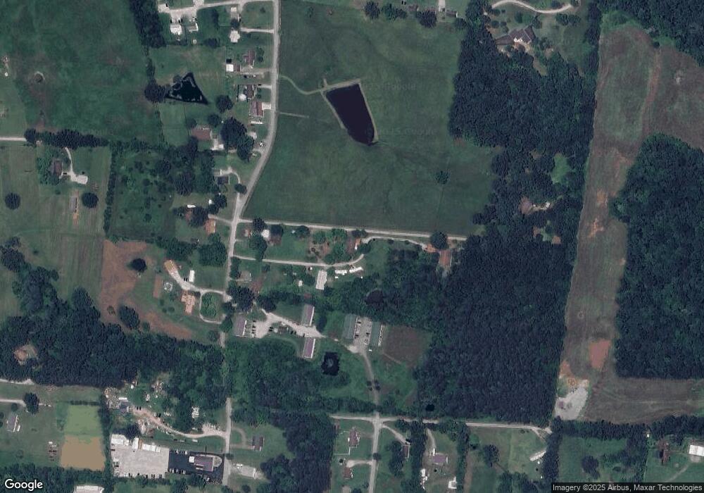
Map
Nearby Homes
- 2136 W Broad St
- 1957 W Broad St
- 0 Corner of W Broad St & Tn Ave Unit RTC2794105
- 270 Locust Grove Rd
- 2.52 St
- Lot 3 Miller
- 279 Willow Brook Dr
- 2911 Grand Ridge Dr
- 553 County Farm Rd
- 2.52 ac W Broad St
- 500 N McBroom Chapel Rd
- 2300 Sun Valley Cir
- 1475 Dyer Creek Rd
- 4131 Charlton Square
- 1408 Oak Grove Dr
- 1405 Brook Hill Dr
- 1711 Creekside Dr
- 1775 Creekside Dr
- 4060 Charlton Square