435 W 9th St Unit G4 Upland, CA 91786
Estimated Value: $414,656 - $472,000
2
Beds
2
Baths
951
Sq Ft
$470/Sq Ft
Est. Value
About This Home
This home is located at 435 W 9th St Unit G4, Upland, CA 91786 and is currently estimated at $447,164, approximately $470 per square foot. 435 W 9th St Unit G4 is a home located in San Bernardino County with nearby schools including Baldy View Elementary School, Upland Junior High School, and Upland High School.
Ownership History
Date
Name
Owned For
Owner Type
Purchase Details
Closed on
Aug 29, 2005
Sold by
Campbell Barry L and Campbell Diane
Bought by
Campbell Barry L and Campbell Diane
Current Estimated Value
Purchase Details
Closed on
Jun 16, 2003
Sold by
Campbell Gregory and Campbell Cindy
Bought by
Campbell Barry L and Campbell Diane
Purchase Details
Closed on
Jan 4, 1999
Sold by
Campbell Jeanne L
Bought by
Campbell Barry L and Campbell Diane
Purchase Details
Closed on
Dec 6, 1993
Sold by
Campbell Barry L and Campbell Diane
Bought by
Campbell Barry L and Campbell Diane
Create a Home Valuation Report for This Property
The Home Valuation Report is an in-depth analysis detailing your home's value as well as a comparison with similar homes in the area
Home Values in the Area
Average Home Value in this Area
Purchase History
| Date | Buyer | Sale Price | Title Company |
|---|---|---|---|
| Campbell Barry L | -- | -- | |
| Campbell Barry L | -- | -- | |
| Campbell Barry L | -- | -- | |
| Campbell Barry L | -- | -- | |
| Campbell Barry L | -- | -- |
Source: Public Records
Tax History Compared to Growth
Tax History
| Year | Tax Paid | Tax Assessment Tax Assessment Total Assessment is a certain percentage of the fair market value that is determined by local assessors to be the total taxable value of land and additions on the property. | Land | Improvement |
|---|---|---|---|---|
| 2025 | $1,587 | $134,025 | $39,669 | $94,356 |
| 2024 | $1,587 | $131,397 | $38,891 | $92,506 |
| 2023 | $1,561 | $128,820 | $38,128 | $90,692 |
| 2022 | $1,527 | $126,294 | $37,380 | $88,914 |
| 2021 | $1,521 | $123,818 | $36,647 | $87,171 |
| 2020 | $1,480 | $122,548 | $36,271 | $86,277 |
| 2019 | $1,476 | $120,145 | $35,560 | $84,585 |
| 2018 | $1,443 | $117,789 | $34,863 | $82,926 |
| 2017 | $1,401 | $115,479 | $34,179 | $81,300 |
| 2016 | $1,231 | $113,215 | $33,509 | $79,706 |
| 2015 | $1,203 | $111,515 | $33,006 | $78,509 |
| 2014 | $1,173 | $109,330 | $32,359 | $76,971 |
Source: Public Records
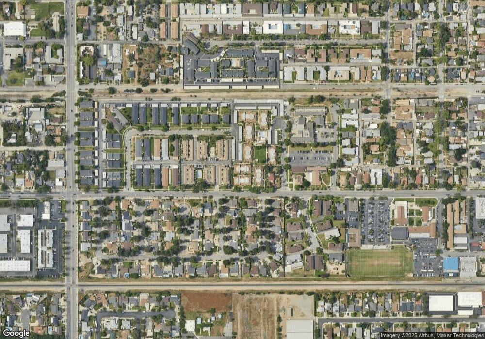
Map
Nearby Homes
- 537 W 9th St
- 428 W 8th St
- 173 W 8th St
- 228 Greentree Rd
- Plan 3 at Towns on First - Towns On First
- Plan 4 at Towns on First - Towns On First
- 119 N 1st Ave
- 173 Elizabeth Ln
- 278 Verdugo Way
- 862 Sheridan St
- 231 S Euclid Ave
- 855 N Palm Ave
- 345 S Euclid Ave
- 910 N Redding Way Unit F
- 743 Magnolia Ave
- 928 N Redding Way Unit D
- 384 W 7th St
- 595 Juniper Ave
- 691 N 3rd Ave
- 424 W 7th St
- 435 W 9th St Unit H3
- 435 W 9th St Unit B-7
- 435 W 9th St Unit E5
- 435 W 9th St Unit F5
- 435 W 9th St Unit A
- 435 W 9th St
- 435 W 9th St Unit F4
- 435 W 9th St Unit B8
- 435 W 9th St Unit G3
- 435 W 9th St Unit B4
- 435 W 9th St Unit B1
- 435 W 9th St Unit G2
- 435 W 9th St Unit H2
- 435 W 9th St Unit F7
- 435 W 9th St Unit G7
- 435 W 9th St Unit G6
- 435 W 9th St Unit G5
- 435 W 9th St Unit E3
- 435 W 9th St Unit G1
- 435 W 9th St Unit H8