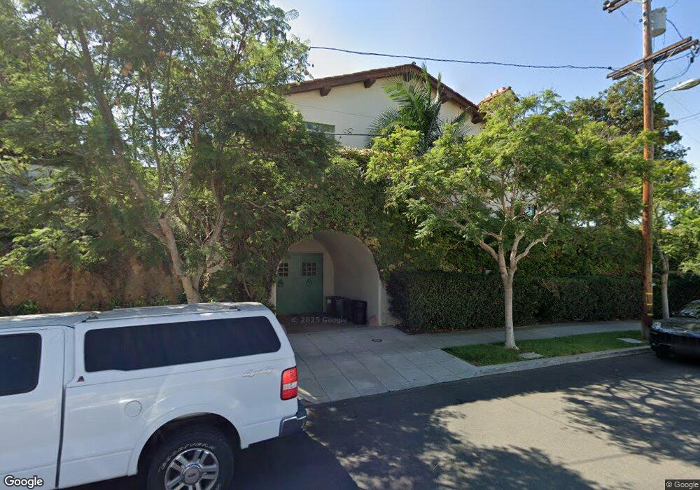
435 W Spruce St San Diego, CA 92103
Bankers Hill NeighborhoodEstimated Value: $3,310,848 - $4,463,000
5
Beds
3
Baths
5,250
Sq Ft
$726/Sq Ft
Est. Value
About This Home
This home is located at 435 W Spruce St, San Diego, CA 92103 and is currently estimated at $3,809,616, approximately $725 per square foot. 435 W Spruce St is a home with nearby schools including Florence Elementary School, Roosevelt International Middle School, and Museum School.
Ownership History
Date
Name
Owned For
Owner Type
Purchase Details
Closed on
Aug 28, 2014
Sold by
Stoughton Kathleen
Bought by
Stoughton Kathleen H
Current Estimated Value
Purchase Details
Closed on
Dec 5, 2003
Sold by
Stoughton Roland
Bought by
Stoughton Kathleen
Purchase Details
Closed on
Nov 14, 1989
Purchase Details
Closed on
Nov 20, 1987
Create a Home Valuation Report for This Property
The Home Valuation Report is an in-depth analysis detailing your home's value as well as a comparison with similar homes in the area
Home Values in the Area
Average Home Value in this Area
Purchase History
| Date | Buyer | Sale Price | Title Company |
|---|---|---|---|
| Stoughton Kathleen H | -- | None Available | |
| Stoughton Kathleen | -- | -- | |
| -- | $960,000 | -- | |
| -- | $655,000 | -- |
Source: Public Records
Tax History Compared to Growth
Tax History
| Year | Tax Paid | Tax Assessment Tax Assessment Total Assessment is a certain percentage of the fair market value that is determined by local assessors to be the total taxable value of land and additions on the property. | Land | Improvement |
|---|---|---|---|---|
| 2025 | $6,572 | $548,163 | $328,897 | $219,266 |
| 2024 | $6,572 | $539,328 | $323,596 | $215,732 |
| 2023 | $6,950 | $571,130 | $342,678 | $228,452 |
| 2022 | $6,895 | $555,807 | $333,484 | $222,323 |
| 2021 | $6,795 | $555,807 | $333,484 | $222,323 |
| 2020 | $6,581 | $539,439 | $323,663 | $215,776 |
| 2019 | $6,642 | $543,462 | $326,077 | $217,385 |
| 2018 | $6,586 | $564,974 | $338,984 | $225,990 |
| 2017 | $6,721 | $578,941 | $347,364 | $231,577 |
| 2016 | $6,420 | $551,158 | $330,694 | $220,464 |
| 2015 | $6,418 | $550,924 | $330,554 | $220,370 |
| 2014 | $7,055 | $602,810 | $361,686 | $241,124 |
Source: Public Records
Map
Nearby Homes
- 2871 Brant St
- 2854 Albatross St
- 2861 Brant St
- 3266 1st Ave Unit 20
- 3161 1st Ave Unit 3S
- 3206-16 Reynard Way
- 2948-54 Reynard Way
- 2961 1st Ave
- 3130 Second Ave
- 2730 Brant St
- 222 Quince St Unit 2D
- 3109 Hawk St
- 3467 Reynard Way Unit A
- 405 W Nutmeg St
- 3231 Hawk St
- 2805 State St
- 1034 W Quince St
- 2630 Front St
- 3157 Harbor Ridge Ln Unit 2214
- 3566 Albatross St