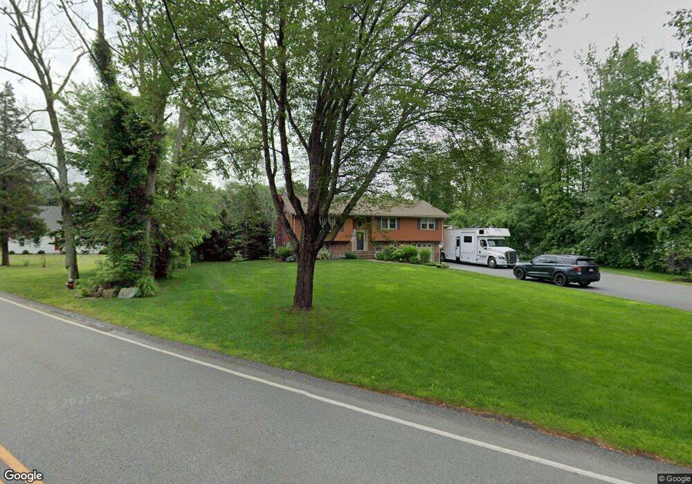
435 Walnut St West Bridgewater, MA 02379
Estimated Value: $783,339 - $970,000
3
Beds
3
Baths
3,255
Sq Ft
$268/Sq Ft
Est. Value
About This Home
This home is located at 435 Walnut St, West Bridgewater, MA 02379 and is currently estimated at $873,585, approximately $268 per square foot. 435 Walnut St is a home located in Plymouth County with nearby schools including Spring Street Elementary School, Rose L. MacDonald Elementary School, and Howard Elementary School.
Ownership History
Date
Name
Owned For
Owner Type
Purchase Details
Closed on
Oct 27, 2020
Sold by
Gill Paul L
Bought by
Paul L Gill Ret
Current Estimated Value
Purchase Details
Closed on
Oct 30, 2003
Sold by
Sterling Rt
Bought by
Gill Paul
Purchase Details
Closed on
Jul 15, 1994
Sold by
Wood Raffeal S
Bought by
Gill Paul L and Galvin Veronica S
Create a Home Valuation Report for This Property
The Home Valuation Report is an in-depth analysis detailing your home's value as well as a comparison with similar homes in the area
Home Values in the Area
Average Home Value in this Area
Purchase History
| Date | Buyer | Sale Price | Title Company |
|---|---|---|---|
| Paul L Gill Ret | -- | None Available | |
| Gill Paul | $30,000 | -- | |
| Gill Paul L | $164,000 | -- |
Source: Public Records
Mortgage History
| Date | Status | Borrower | Loan Amount |
|---|---|---|---|
| Previous Owner | Gill Paul L | $267,000 | |
| Previous Owner | Gill Paul L | $270,000 | |
| Previous Owner | Gill Paul L | $56,600 |
Source: Public Records
Tax History Compared to Growth
Tax History
| Year | Tax Paid | Tax Assessment Tax Assessment Total Assessment is a certain percentage of the fair market value that is determined by local assessors to be the total taxable value of land and additions on the property. | Land | Improvement |
|---|---|---|---|---|
| 2025 | $8,987 | $657,400 | $242,300 | $415,100 |
| 2024 | $8,573 | $605,000 | $221,700 | $383,300 |
| 2023 | $8,120 | $528,300 | $191,300 | $337,000 |
| 2022 | $8,018 | $494,300 | $181,000 | $313,300 |
| 2021 | $599 | $443,500 | $181,000 | $262,500 |
| 2020 | $4,335 | $439,200 | $181,000 | $258,200 |
| 2019 | $5,922 | $420,000 | $181,000 | $239,000 |
| 2018 | $3,950 | $402,600 | $172,800 | $229,800 |
| 2017 | $573 | $383,200 | $158,400 | $224,800 |
| 2016 | $6,719 | $373,300 | $148,500 | $224,800 |
| 2015 | $6,618 | $371,600 | $148,500 | $223,100 |
| 2014 | $6,053 | $367,100 | $148,500 | $218,600 |
Source: Public Records
Map
Nearby Homes