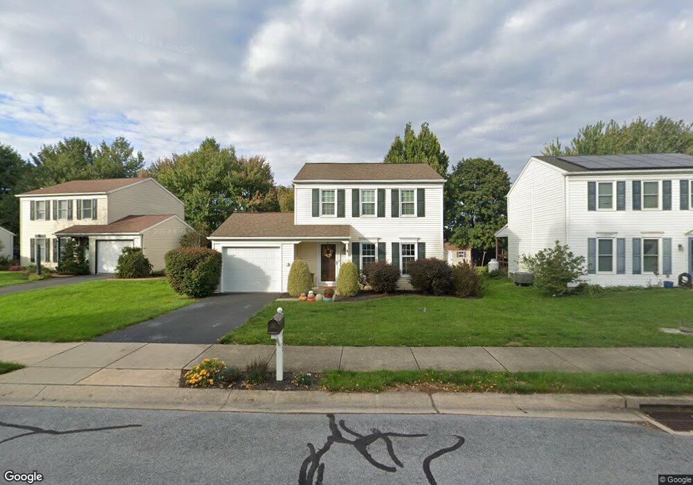
435 Westfield Ct Lititz, PA 17543
Estimated Value: $286,000 - $404,000
3
Beds
2
Baths
1,248
Sq Ft
$270/Sq Ft
Est. Value
About This Home
This home is located at 435 Westfield Ct, Lititz, PA 17543 and is currently estimated at $336,966, approximately $270 per square foot. 435 Westfield Ct is a home located in Lancaster County with nearby schools including Warwick Senior High School, Lititz Christian School, and Linden Hall.
Ownership History
Date
Name
Owned For
Owner Type
Purchase Details
Closed on
Sep 1, 2010
Sold by
Yellets Richard L and Yellets Kathlene S
Bought by
Yellets Kathlene S
Current Estimated Value
Home Financials for this Owner
Home Financials are based on the most recent Mortgage that was taken out on this home.
Original Mortgage
$148,000
Interest Rate
4.55%
Mortgage Type
New Conventional
Create a Home Valuation Report for This Property
The Home Valuation Report is an in-depth analysis detailing your home's value as well as a comparison with similar homes in the area
Home Values in the Area
Average Home Value in this Area
Purchase History
| Date | Buyer | Sale Price | Title Company |
|---|---|---|---|
| Yellets Kathlene S | $15,000 | None Available |
Source: Public Records
Mortgage History
| Date | Status | Borrower | Loan Amount |
|---|---|---|---|
| Closed | Yellets Kathlene S | $148,000 |
Source: Public Records
Tax History Compared to Growth
Tax History
| Year | Tax Paid | Tax Assessment Tax Assessment Total Assessment is a certain percentage of the fair market value that is determined by local assessors to be the total taxable value of land and additions on the property. | Land | Improvement |
|---|---|---|---|---|
| 2025 | $3,690 | $163,100 | $54,400 | $108,700 |
| 2024 | $3,690 | $163,100 | $54,400 | $108,700 |
| 2023 | $3,675 | $163,100 | $54,400 | $108,700 |
| 2022 | $3,471 | $163,100 | $54,400 | $108,700 |
| 2021 | $3,471 | $163,100 | $54,400 | $108,700 |
| 2020 | $3,471 | $163,100 | $54,400 | $108,700 |
| 2019 | $3,471 | $163,100 | $54,400 | $108,700 |
| 2018 | $2,556 | $163,100 | $54,400 | $108,700 |
| 2017 | $3,491 | $128,900 | $30,400 | $98,500 |
| 2016 | $3,491 | $128,900 | $30,400 | $98,500 |
| 2015 | $817 | $128,900 | $30,400 | $98,500 |
| 2014 | $2,426 | $128,900 | $30,400 | $98,500 |
Source: Public Records
Map
Nearby Homes
- 411 Danbury Dr
- 28 Cardiff Ct
- 47 W Lincoln Ave
- 343 Coventry Ln
- 34 E Market St
- LOT 14 Thaton Rd
- LOT 12 Thaton Rd
- 7 Brookfield Rd
- 2 Brookfield Rd
- 28 Brookview Dr
- 210 Noble St
- 133 S Spruce St
- 44 E Center St
- 256 Cedar St S
- 668 Snyder Hill Rd
- 671 Snyder Hill Rd
- 501 E New St
- 510 Bluebird Rd
- 213 Barkay Crossing
- 601 E Main St
- 431 Westfield Ct
- 439 Westfield Ct
- 427 Westfield Ct
- 443 Westfield Ct
- 418 Westfield Ct
- 414 Westfield Ct
- 423 Westfield Ct
- 422 Westfield Ct
- 447 Westfield Ct
- 430 Westfield Ct
- 442 Danbury Dr
- 426 Westfield Ct
- 410 Danbury Dr
- 406 Danbury Dr
- 311 Arrowhead Dr
- 321 Arrowhead Dr
- 331 Arrowhead Dr
- 240 Coventry Ln
- 415 Danbury Dr
- 424 Sturbridge Dr