4350 Locke Ave NW Annandale, MN 55302
Estimated Value: $552,000 - $723,485
3
Beds
2
Baths
1,596
Sq Ft
$400/Sq Ft
Est. Value
About This Home
This home is located at 4350 Locke Ave NW, Annandale, MN 55302 and is currently estimated at $637,621, approximately $399 per square foot. 4350 Locke Ave NW is a home with nearby schools including Annandale Elementary School, Annandale Middle School, and Annandale Senior High School.
Ownership History
Date
Name
Owned For
Owner Type
Purchase Details
Closed on
Oct 12, 2018
Sold by
Wright County Farm Llc
Bought by
Handt Matthew and Handt Christina
Current Estimated Value
Home Financials for this Owner
Home Financials are based on the most recent Mortgage that was taken out on this home.
Original Mortgage
$352,750
Outstanding Balance
$132,976
Interest Rate
6.25%
Mortgage Type
Adjustable Rate Mortgage/ARM
Estimated Equity
$504,645
Purchase Details
Closed on
Mar 5, 2003
Sold by
Rimpy Roger A and Rimpy Carol A
Bought by
Rimpy Allan A
Create a Home Valuation Report for This Property
The Home Valuation Report is an in-depth analysis detailing your home's value as well as a comparison with similar homes in the area
Home Values in the Area
Average Home Value in this Area
Purchase History
| Date | Buyer | Sale Price | Title Company |
|---|---|---|---|
| Handt Matthew | $415,000 | Burnet Title | |
| Rimpy Allan A | $50,000 | -- |
Source: Public Records
Mortgage History
| Date | Status | Borrower | Loan Amount |
|---|---|---|---|
| Open | Handt Matthew | $352,750 |
Source: Public Records
Tax History Compared to Growth
Tax History
| Year | Tax Paid | Tax Assessment Tax Assessment Total Assessment is a certain percentage of the fair market value that is determined by local assessors to be the total taxable value of land and additions on the property. | Land | Improvement |
|---|---|---|---|---|
| 2025 | $3,084 | $657,800 | $341,200 | $316,600 |
| 2024 | $2,816 | $625,500 | $331,200 | $294,300 |
| 2023 | $2,738 | $608,200 | $321,200 | $287,000 |
| 2022 | $2,884 | $499,400 | $234,200 | $265,200 |
| 2021 | $2,880 | $459,400 | $207,200 | $252,200 |
| 2020 | $2,770 | $433,500 | $201,100 | $232,400 |
| 2019 | $2,672 | $130,100 | $0 | $0 |
| 2018 | $2,356 | $22,900 | $0 | $0 |
| 2017 | $2,158 | $374,800 | $0 | $0 |
| 2016 | $2,266 | $0 | $0 | $0 |
| 2015 | $2,064 | $0 | $0 | $0 |
| 2014 | -- | $0 | $0 | $0 |
Source: Public Records
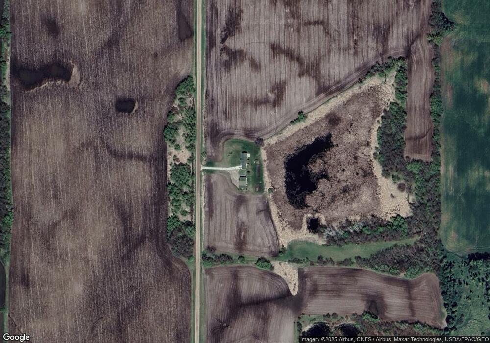
Map
Nearby Homes
- 3990 Moore Ave NW
- 945 Acacia Cir S
- 844 Beech Ln S
- 750 Morrison Ave S
- 1794 Lawrence Cir NW
- 521 Douglas Dr S
- 431 Valley Dr W
- 451 Valley Dr W
- 520 Douglas Dr S
- 800 Morrison Ave NW
- 510 Douglas Dr S
- 440 Valley Dr W
- 511 Douglas Dr S
- 681 Irwin Cir
- Olson Plan at Triplett Farms
- Lincoln Plan at Triplett Farms
- Goodhue Plan at Triplett Farms
- Henderson Plan at Triplett Farms
- Hancock Plan at Triplett Farms
- Floyd Plan at Triplett Farms
- XXXX Locke Ave NW
- 4662 Moore Ave NW
- 4793 Locke Ave NW
- 4754 Locke Ave NW
- 4625 Moore Ave NW
- 4835 County Road 5 NW
- 3745 Locke Ave NW
- 4907 County Road 5 NW
- 4441 County Road 5 NW
- 4215 County Road 5 NW
- 4629 Morrison Ave NW
- 4274 County Road 5 NW
- 10776 43rd St NW
- 3950 County Road 5 NW
- 11256 County Road 37 NW
- 5164 Locke Ave NW
- 4261 Moore Ave NW
- 5138 County Road 5 NW
- 5094 Lathrop Ave NW
- XXXX Moore Ave NW