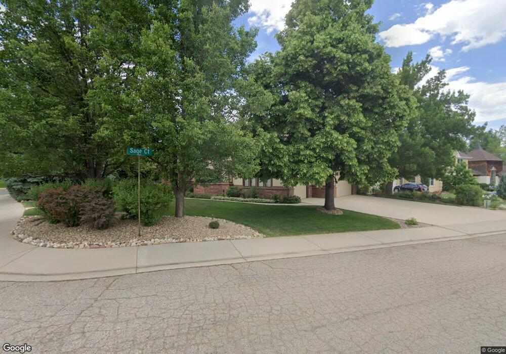
4350 Sage Ct Boulder, CO 80301
Gunbarrel NeighborhoodEstimated Value: $1,243,000 - $1,409,000
4
Beds
3
Baths
3,343
Sq Ft
$400/Sq Ft
Est. Value
About This Home
This home is located at 4350 Sage Ct, Boulder, CO 80301 and is currently estimated at $1,338,382, approximately $400 per square foot. 4350 Sage Ct is a home located in Boulder County with nearby schools including Heatherwood Elementary School, Nevin Platt Middle School, and Boulder High School.
Ownership History
Date
Name
Owned For
Owner Type
Purchase Details
Closed on
Nov 2, 1995
Sold by
Frender W Dean and Frender Gloria
Bought by
Frender W Dean
Current Estimated Value
Purchase Details
Closed on
Aug 3, 1988
Bought by
Frender W Dean & Gloria Trustees Of The
Purchase Details
Closed on
Feb 18, 1988
Bought by
Frender W Dean & Gloria Trustees Of The
Purchase Details
Closed on
Jan 29, 1985
Bought by
Frender W Dean & Gloria Trustees Of The
Create a Home Valuation Report for This Property
The Home Valuation Report is an in-depth analysis detailing your home's value as well as a comparison with similar homes in the area
Home Values in the Area
Average Home Value in this Area
Purchase History
| Date | Buyer | Sale Price | Title Company |
|---|---|---|---|
| Frender W Dean | -- | -- | |
| Frender W Dean & Gloria Trustees Of The | $265,600 | -- | |
| Frender W Dean & Gloria Trustees Of The | $54,000 | -- | |
| Frender W Dean & Gloria Trustees Of The | -- | -- |
Source: Public Records
Tax History
| Year | Tax Paid | Tax Assessment Tax Assessment Total Assessment is a certain percentage of the fair market value that is determined by local assessors to be the total taxable value of land and additions on the property. | Land | Improvement |
|---|---|---|---|---|
| 2025 | $7,420 | $85,500 | $34,431 | $51,069 |
| 2024 | $7,420 | $85,500 | $34,431 | $51,069 |
| 2023 | $7,298 | $87,013 | $37,306 | $53,392 |
| 2022 | $5,825 | $66,685 | $27,772 | $38,913 |
| 2021 | $5,554 | $68,604 | $28,571 | $40,033 |
| 2020 | $4,826 | $59,931 | $25,025 | $34,906 |
| 2019 | $4,753 | $59,931 | $25,025 | $34,906 |
| 2018 | $4,765 | $59,544 | $20,808 | $38,736 |
| 2017 | $4,623 | $65,829 | $23,004 | $42,825 |
| 2016 | $4,114 | $53,157 | $19,184 | $33,973 |
| 2015 | $3,906 | $48,818 | $25,392 | $23,426 |
| 2014 | $3,799 | $48,818 | $25,392 | $23,426 |
Source: Public Records
Map
Nearby Homes
- 4422 Pali Way
- 4500 S Meadow Dr
- 7186 Petursdale Ct
- 4423 Alberta Ct
- 7312 Island Cir
- 4667 Ashfield Dr
- 7205 Rustic Trail
- 7302 Island Cir
- 4788 Briar Ridge Trail
- 4803 Briar Ridge Ct
- 4953 Clubhouse Ct
- 4935 Sundance Square
- 4936 Clubhouse Cir
- 4862 Silver Sage Ct
- 7750 Durham Way
- 7088 Indian Peaks Trail
- 4872 Country Club Way
- 6686 Jay Rd
- 4483 Sandpiper Cir
- 5020 Buckingham Rd Unit B2
- 4340 Sage Ct
- 901 Sage Ct
- 7310 Paint Brush Trail
- 4330 Sage Ct
- 7321 Paint Brush Trail
- 4337 Sage Ct
- 4331 Sage Ct
- 7369 Park Place
- 7307 Paint Brush Trail
- 7386 Park Place
- 7334 S Meadow Ct
- 4385 S Meadow Dr
- 7390 Park Place
- 7356 S Meadow Ct
- 4381 Park Ct
- 4340 Pali Way
- 4330 Pali Way
- 4350 Pali Way
- 4399 S Meadow Dr
- 4320 Pali Way
Your Personal Tour Guide
Ask me questions while you tour the home.